Essential Habitat in the Golden-State
This project was a highly collaborative effort to identify and characterize areas important to maintaining a functional network of connected wildlands throughout the state of California. CBI worked with a team of planners, GIS modelers, and biologists, with input and guidance from numerous state, federal, and local agencies and stakeholders, to create three primary products:
(1) a statewide Essential Habitat Connectivity Map
(2) a database characterizing areas delineated on the map
(3) guidance for mitigating the fragmenting effects of roads and for developing and implementing local and regional connectivity plans
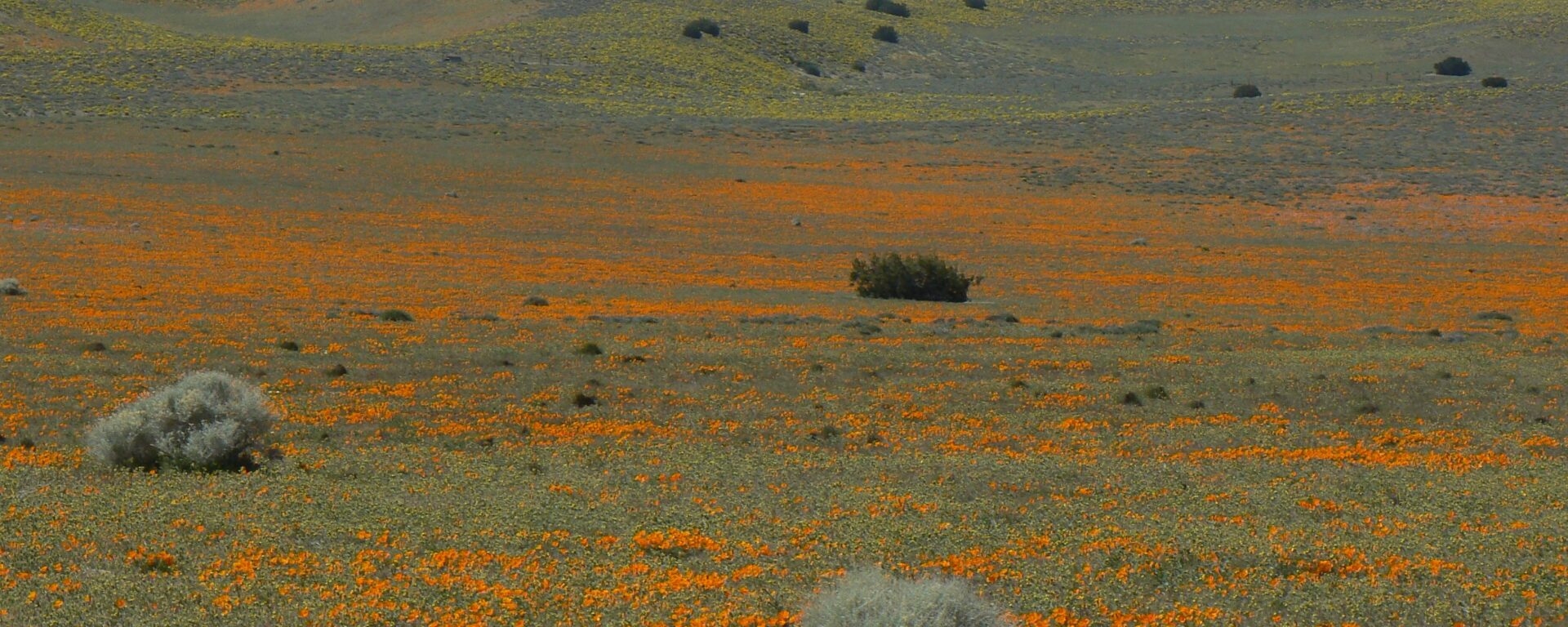
The essential connectivity network consists of relatively intact and well-conserved habitat areas (natural landscape blocks) that support native biodiversity and essential connectivity areas for maintaining wildlife movement and other ecological flows between them. The final report provides detailed guidance for considering ecological connectivity in transportation and land management planning, preparing finer-resolution regional and local connectivity plans and linkage designs, and siting and creating road-crossing improvements for wildlife to improve ecological connectivity and reduce vehicle-wildlife collisions. All products were produced using cutting-edge GIS modeling methods in a highly collaborative, transparent, and repeatable process that could be emulated by other states. The project was given the 2011 Exemplary Ecosystem Initiative Award by the Federal Highways Administration.
Please visit the California Essential Habitat Connectivity Project website
Project Details
Date
Databasin Items
Project Lead & Contact

Project Team


Related Publications
-
 South Coast Missing Linkages: restoring connectivity to wildlands in the largest metropolitan area in the USA
-
 Forks in the road: choices in procedures for designing wildland linkages
-
Towards Best Practices for Developing Regional Connectivity Maps