Personal tools

Skip to content. | Skip to navigation

Updates by Email
Join Our List
Privacy Policy
You are here: Home What We Do Forest intactness database

Forest intactness database

An assessment of relative forest intactness for the coterminous United States. Each unit of analysis has a database comprising a suite of fragmentation metrics, road density values, and relative ordinal scores. (April 2001)

Forest intactness database

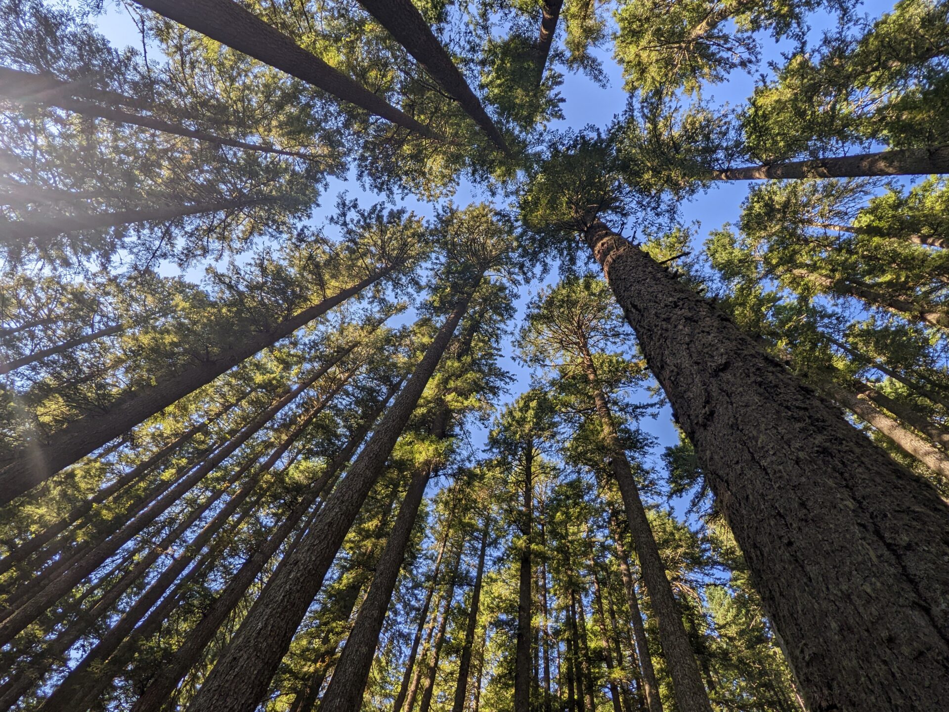
The Forest Intactness Database was the result of a collaborative effort between the Conservation Biology Institute, the World Wildlife Fund U.S., and the World Resources Institute's Global Forest Watch. Using primarily Landsat TM based National Land Cover Data (NLCD) and 1:100,000 scale USGS road data sets, we assessed relative forest intactness for 39 forested ecoregions of the coterminous United States. Forest intactness was mapped within "landunits" that were defined by highways and urban areas that contained more than 50,000 people. For each landunit, road density was calculated as well as a suite of class and landscape level fragmentation metrics using FRAGSTATS, a spatial analysis software program. For each landunit, road density, class area, percentage of landscape, total core area index, and mean nearest neighbor results were assigned ordinal scores from which a cumulative score was calculated to create an overall relative forest intactness score. By assigning all landunits with a quantitative measurement of relative forest intactness based on a uniform dataset, this study (1) identified remaining relatively intact forest; (2) identified landunits that may make good restoration candidates from a regional context; and (3) examined forest fragmentation due to roads which has been omitted from other recent national assessments.

Database Description

Each landunit depicted an individual unit of analysis created through the use of TIGER 1:100,000 scale US national boundaries, TIGER 1:100,000 scale roads, and Bureau of Transportation 1:100,000 scale urban areas with more than 50,000 people. All minor road and non-road features were removed from the TIGER road data set to leave US interstates, US routes, and state and county highways. The TIGER road data set was then merged with the outermost lines from the TIGER boundaries data set to create closed areas along coastal regions and national borders. All regions with an area of 2,000 hectares or greater were classified as landunits while all regions with an area less then 2,000 hectares were classified as non-landunits. The Bureau of Transportation urban areas data set was then used to reclassify entire landunits or portions of landunits that fell within urban areas as non-landunits. All non-urban regions that were totally surrounded by urban regions and had an area greater then or equal to 2,000 hectares were classified as landunits. Finally, only those landunits that intersected one of 39 forested ecoregions were retained.

The original 30 meter resolution National Land Cover Data (NLCD) was reclassified from 21 potential classes to either forest or non-forest. Forest included coniferous, deciduous, mixed forest, and woody wetland while non-forest included water and all other classes. The USGS 1:100,000 scale roads data set had all foot trails, four-wheel drive trails, footbridges, old railroad grades, ferry crossings, quadrangle neat lines, and other non-road features removed. A 30 meter resolution raster version of the vector data set was created with all roads classified as non-forest. The road raster data set was then superimposed onto the NLCD forest/non-forest raster data set as further non-forest land cover.

FRAGSTATS analysis parameters included a 90 meter edge distance, interior and exterior background, no border, no edge contrast weighting, all boundary and background was treated as edge, diagonals were used in patch finding, and proximity metrics were not calculated. As a part of the analysis process, all patches smaller then 0.99 hectares (11 30m by 30m raster cells) were converted to the surrounding land cover values. The USGS 1:100,000 scale vector road data sets were used to calculate road density per landunit.

After road density was calculated and FRAGSTATS spatial analyses were completed for all landunits in a forested ecoregion, class and landscape level results were added to the landunit's database. No patch level FRAGSTATS results were retained. Class metrics were listed before landscape metrics and, since some class and landscape metrics had the same name, landscape metrics were indicated through the use of a "L-" prefix. ArcView'sTM natural breaks data classification (based on Jenks' Optimization Method) was used to create ordinal scores for five example metrics: road density, class area, percentage of landscape, total core area index, and mean nearest neighbor. Finally, a composite score was calculated for each landunit by summing all the ordinal scores for each example metric.

For detailed discussion and examples of FRAGSTATS metrics, read FRAGSTATS: Spatial Pattern Analysis Program for Quantifying Landscape Structure by McGarigal and Marks (1995, USDA Forest Service). You may also view our Forest Intactness metadata. You may request a reprint of our article published in the journal BioScience from James Strittholt.

Document Actions
powered by Plone | site by ONE/Northwest and served with clean energy