Living in fire prone natural landscapes - Reducing the risk to rural communities from wildfire
An approach to mapping fire hazards at an intermediate scale to identify and prioritize fire management activities in the urban-wildland interface. (June 2004)
Executive Summary
June 2004
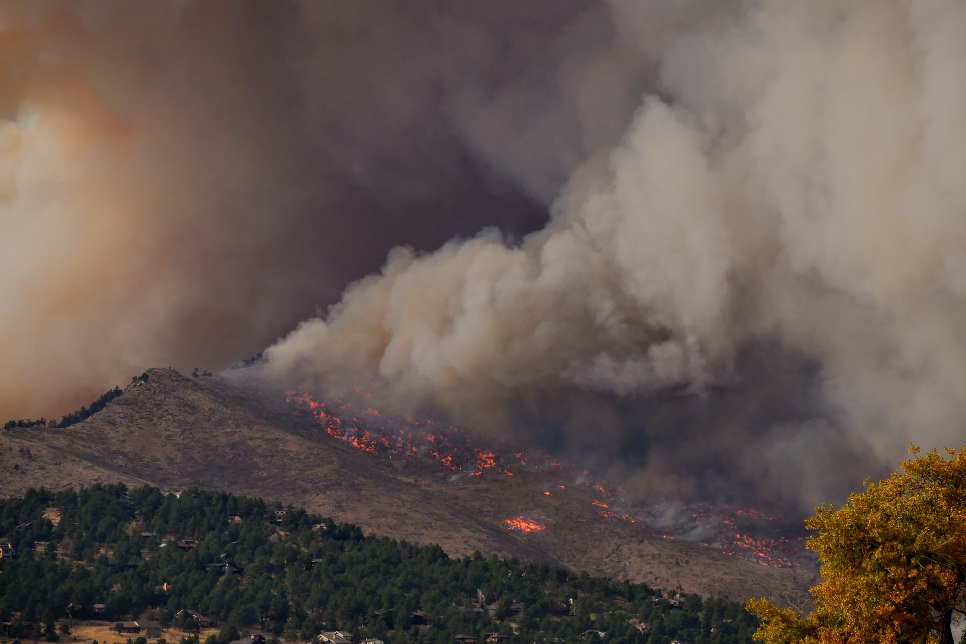
As more people move into remote areas throughout western forests and rangelands, it is increasingly important for scientists, land managers, policy makers, and the public to understand the natural fire dynamics of these systems. Over the last decade, wildfires have burned on average approximately 4.2 million acres each year with lows of 2.3 million acres in 1993, 1995, and 1998 and a decadal high of 8.4 million acres in 2000 (NIFC 2004). There is growing concern about the number of severe fires throughout the West and their impact on human communities and local economies. Some argue that the buildup of fuels to unnatural levels is primarily the result of decades of fire suppression while others argue that prolonged and more frequent droughts are most responsible. While both positions are defensible, it is unwise to oversimplify the situation as natural fire regimes and the human impacts on these regimes can be quite complex and highly variable from place to place (Turner et al. 2003).
In 2002, 6.9 million acres burned in the U.S. with a total suppression cost of over $1.6 billion. Over 2,300 human structures were damaged including 835 primary residences (NIFC 2004). As the result of major lightening strikes across one region (the Klamath-Siskiyou) on July 13, 2002, four separate fires were ignited in backcountry locations that later coalesced to form the Biscuit Fire. Weather conditions were particularly dry and windy and the fire burned with relatively high severity. But as is typical even in severe fire events, the Biscuit Fire did not burn uniformly across the landscape but in a patchwork of severities. The fire was vigorously fought at a cost of approximately $153 million and included fire line construction and extensive high-intensity backburning. There was no loss of human life as a result of the fire, but several structures were lost including 4 homes, 9 outbuildings, 1 lookout and numerous recreation structures (USDA FS 2003). After the last fires were extinguished approximately two months later, the Biscuit Fire perimeter included approximately 500,000 acres with 92 percent located in the Siskiyou National Forest. It was one of the largest fires that year in the nation and in Oregon history. Understandably, there was great safety concern for the people living in the region, and those concerns continue in anticipation of the next fire season.
The purpose of this study was to develop an approach to mapping fire hazard at an intermediate spatial scale for the Oregon portion of the Illionis River Basin and to demonstrate how such an approach can be used to identify and prioritize fire management activities that would have the greatest chance of minimizing human losses from fire while protecting the many conservation values of the region. The Illinois River Basin was chosen because the rural communities in this basin were among the most threatened by the Biscuit fire of 2002.
Summary Of Findings
- Fire has played a major role in shaping the globally outstanding forests of the Klamath-Siskiyou ecoregion and any fire management plan striving to protect human lives and property must also be careful to sustain this fundamentally important ecological process.
- The purpose of this study was to develop an approach to mapping fire hazard at an intermediate spatial scale for the Oregon portion of the Illinois River Basin and to demonstrate how such an approach can be used to identify and prioritize fire management activities that would have the greatest chance of minimizing human losses from fire while at the same time protecting the many conservation values of the region.
- In general, it is neither operationally or ecologically feasible to exclude fire or impose an understory fire regime impacted by natural stand-replacing fire across the entire landscape. However, a strategic process that makes use of remote sensing and ground verification methodologies is warranted for prioritizing areas for treatment.
- Using GIS mapping, this study examined fire hazard (as defined by terrain and fuels), fire management zones and ownership, ecological sensitivity, and historic fire ignition.
- Ecological sensitivity results showed the majority of the high and very high fire hazard area (90%) contained one or more known ecological factors. Special management actions are warranted on ecologically sensitive sites throughout the study area.
- The most effective and ecologically responsible fire management strategy would be to focus fuel treatments within the wildland-urban interface (WUI), especially immediately adjacent to human structure and not in remote wildland areas. For this study area, only 2,267 ac of the WUI was mapped as having high or very high fire hazard. Another 3,915 ac of the WUI was mapped as having moderate fire hazard and should be field checked for possible fuels reduction management.
- Nearly 32,000 ac of the WUI buffer (2 km) was also mapped as high or very high fire hazard, 17,650 ac of which was on public land (mostly BLM) and 14,154 ac on private land. One-third of this area (approximately 10,000 ac) was shown to have no known ecological sensitivity and was located primarily east of Cave Junction and Selma.
- The estimated total area of land targeted to receive some form of fire management based on our analysis would be from 12,000 to 26,000 ac (6-12% of the high fire risk area and only 2-4% of the region).
- Although the work focused on southwestern Oregon, we believe a similar modeling approach could be applied to other sites throughout the West. Some regions may require larger areas of fuels treatment, but widespread management of existing wildlands will only diffuse effective treatment that should be applied where it is needed most and where it would be most effective.
Detailed information for the Biscuit Fire can be found at the official US Forest Service Biscuit Fire web site.
For more information, please contact Jim Strittholt.


