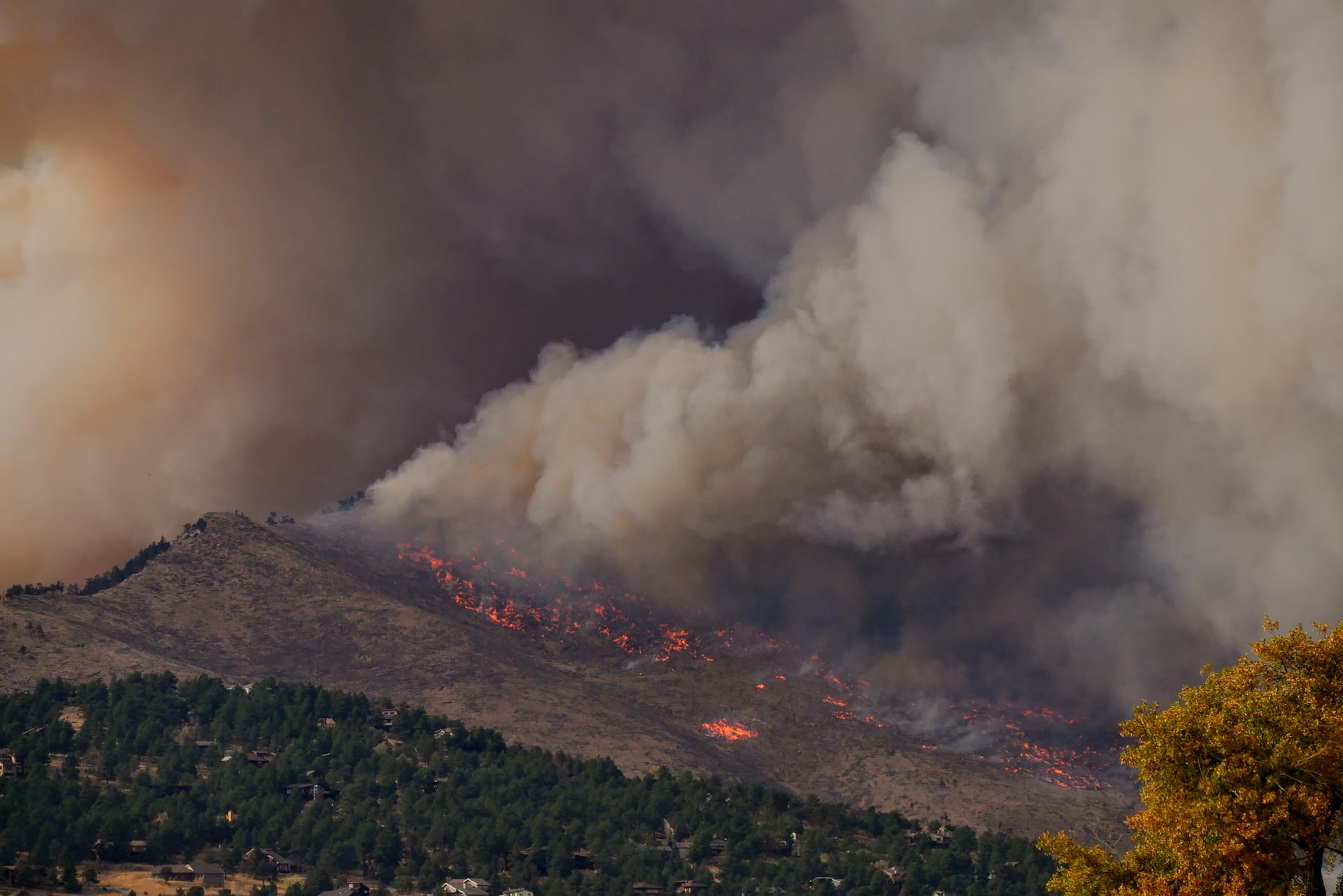
Reducing risk to rural communities from wildfire
As more people move into remote areas throughout western forests and rangelands, it is increasingly important for scientists, land managers, policy makers, and the public to understand the natural fire dynamics of these systems. Over the last decade, wildfires have burned on average approximately 4.2 million acres each year with lows of 2.3 million acres in 1993, 1995, and 1998 and a decadal high of 8.4 million acres in 2000 (NIFC 2004). There is growing concern about the number of severe fires throughout the West and their impact on human communities and local economies. Some argue that the buildup of fuels to unnatural levels is primarily the result of decades of fire suppression while others argue that prolonged and more frequent droughts are most responsible. While both positions are defensible, it is unwise to oversimplify the situation as natural fire regimes and the human impacts on these regimes can be quite complex and highly variable from place to place (Turner et al. 2003).
The purpose of this study was to develop an approach to mapping fire hazard at an intermediate spatial scale for the Oregon portion of the Illionis River Basin and to demonstrate how such an approach can be used to identify and prioritize fire management activities that would have the greatest chance of minimizing human losses from fire while protecting the many conservation values of the region. The Illinois River Basin was chosen because the rural communities in this basin were among the most threatened by the Biscuit fire of 2002.
Detailed information for the Biscuit Fire can be found at the official US Forest Service Biscuit Fire website.


