Ecoregional Conservation Assessment (ECA) Overview
The purpose of the Ecoregional Conservation Assessment is to advance conservation efforts in ecoregions where protected area initiatives have faced significant challenges, particularly with regard to fire management and wildfire risk reduction.
ECAs play a crucial role in establishing large-scale conservation priorities by evaluating:
- Biodiversity Distinctiveness: Assessing the richness and rarity of species.
- Status and Condition: Evaluating habitat loss and protection levels of specific regions.

Our ECAs are grounded in a comprehensive scientific methodology that includes:
- GIS Base Layer Construction: Developing a foundational map of key features.
- Overlay Integration: Incorporating key biodiversity attributes and ecosystem stressors.
- Literature Review: Augmenting data with existing research.
- Climate Projections: Providing tailored climate forecasts for each ecoregion.
- Expert Workshops: Engaging experts to validate approaches and identify conservation needs, opportunities, and timelines.

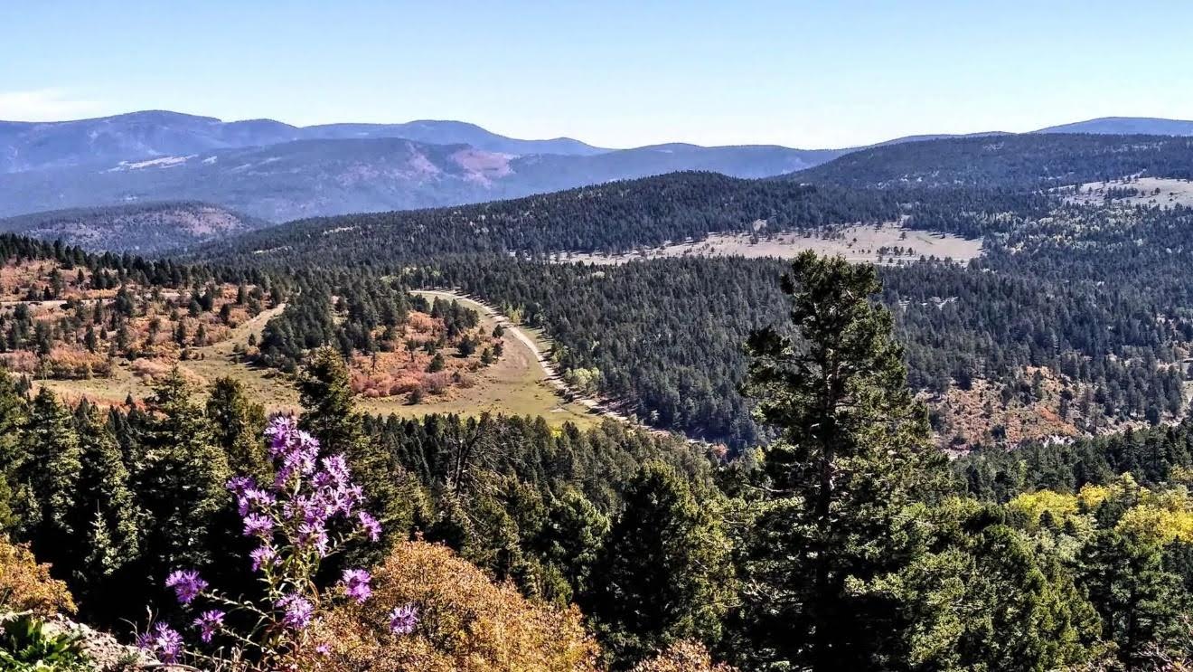
Study Area and Biological Distinctiveness
In our study areas, we utilize ecoregion classifications developed in collaboration with working groups and EPA Level III classifications.
We focus on specific subregions to provide detailed insights. Our ecoregion base maps feature:
- Focal Species and Habitats: Highlighting mature and old-growth areas.
- Intact and Protected Areas: Identifying roadless and unroaded regions.
- Threat Analysis: Assessing impacts from forest management, development, and climate change.
We conduct representation analyses on priority layers to evaluate protection levels, wildfire risks, and Wildland-Urban Interface (WUI) areas, along with climate projections at both ecoregion and subregion scales.
Our Goals
Our overarching goal is to expand forest protections and redefine ecologically based restoration strategies. We aim to mitigate threats to priority areas through improved land management practices.
Explore our assessments and join us in our mission to protect and restore vital ecoregions.


The ECA section was originally prepared by Kaia Africanis and posted at www.wild-heritage.org. It is edited and reposted here with permission from Earth Island Institute.