overview

Collaborative Online Mapping and Data Sharing from Anywhere in the World

Data Basin is a global spatial platform guided by four main principles:

(1) Improve spatial data access;

(2) Provide easy integration of spatial data regardless of the source;

(3) Create and maintain an easy-to-use system that a wide audience can use without compromising on scientific and technical quality; and

(4) Enhance user understanding and collaboration.

Data Basin is a powerful online mapping and collaboration platform accessed using any popular web browser – nothing to install. Users are provided with their own private workspace and many features to help them with their work whether they choose to work alone or with others. The platform was designed to empower people with a flexible system by putting much of the control in the hands of the user. People make spatially explicit decisions every day and most of these people are not computer mapping professionals. Data Basin was not built exclusively for mapping professionals – it was built for everyone.

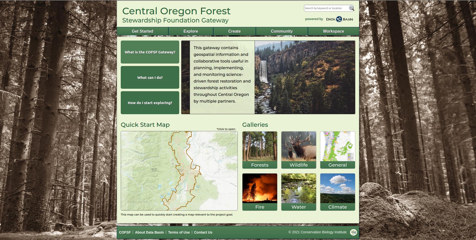
A screenshot of the Data Basin gateway for the Central Oregon Forest Steardship Foundation.
Empowering the Central Oregon Forest Stewardship Foundation with a customized Data Basin Gateway to coordinate and monitor forest management activities by many participants.
Misty fog over a forest of pine trees
Coordinating management across ownerships helps address current and future stresses on forestlands in the region.

what we offer

A Collaborative Spatial Mapping Platform for your Conservation and Sustainability Planning Needs

  • Create your own private group to share data and collaborate
  • Create and share your data and other content with others
  • Draw, comment, and annotate maps together from anywhere
  • Upload and download datasets
  • Let us customize a branded data `gateway’ for you (see examples here)
  • Let us manage your data and support project management

International conservation efforts need to be able to provide resources for practitioners, in their native tongue, if they seek to engage them in meaningful ways throughout the kinds of planning processes that are supported by GIS. Having Data Basin accessible to Spanish speakers will not only facilitate this level of engagement, it is also bound to attract more regional knowledge, and facilitate the collaborations at a continental scale necessary to address regional and global issues. It will also attract young professionals looking for tools to leverage their work through the access to worldwide knowledge and resources.

Juan Carlos Bravo, Director of Operations in Mexico for the Wildlands Network