Supporting Offshore Renewable Energy Development

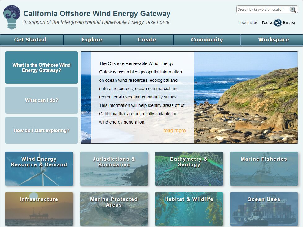
Data Basin has supported the public process for exploring the social and environmental feasibility of offshore wind development off the California coast since 2019. Data Basin has provided the ability for all interested parties to review available relevant spatial data in an easy-to-use fashion, which continues to be routinely updated and curated. With a number of lease sales recently completed, Data Basin is beginning to move into supporting the next phase of the process. Data Basin has proven to be a valuable resource in support of this very complex planning and implementation process.
As work continues off the coast of California, new renewable energy gateways are being planned and scheduled. Over the coming months, we hope to have two additional gateways underway focusing on offshore energy development. One will focus on offshore areas around the Island of Guam and the other will focus on Cook Inlet, Alaska.
Click here to explore the California Offshore Wind Energy Gateway!
New Use Case: Protecting Prime Farmland in the San Joaquin Valley, California

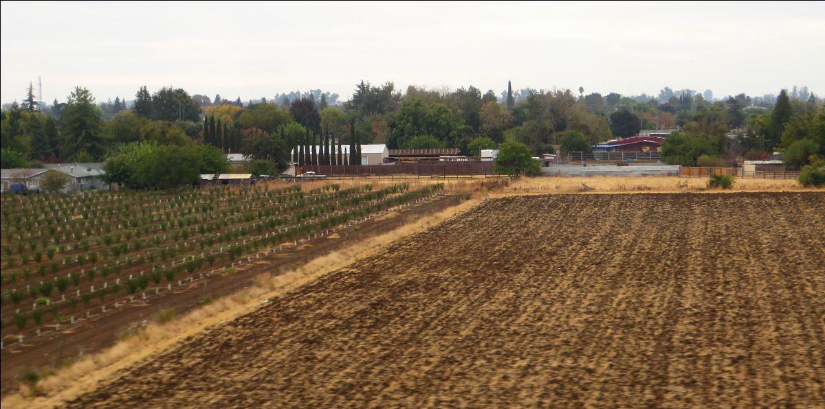
The San Joaquin Valley Project Prioritization Tool (PPT) constructed using Data Basin was designed to identify valuable farmland in the San Joaquin Valley so it could be protected from ongoing development in this extremely valuable agricultural area in the state and the country. This simple decision-support tool (in this case a customized map) was used to protect a long-time family-owned farm located in Merced County. Protecting this ranch with a conservation easement means that 1,100 acres of farmland in a rapidly developing region will be preserved. Video overview of Lost Wagon Wheel Ranch. American Farmland Trust article on Lost Wagon Wheel Ranch. One of the primary considerations of this easement establishment was to protect a valuable water recharge area thereby improving groundwater levels in this highly stressed region of California.
To read more about this Use Case in Data Basin, click here!
Tool Tip: Saving a Map from an Existing Map
There may be times when you come across a map in Data Basin that was created by another member that contains a lot of the datasets of interest. Under these circumstances, you can save a lot of time building off of someone else’s map rather than constructing your own from scratch.
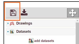
To get started, you must be logged in first. Open the public or shared private map of interest. The example we use here comes from the Use Case described above. Open the map called San Joaquin Valley Project Prioritization Tool. You will find many relevant datasets with the Prime Farmland shown in light green by default. You can now style the map the way you want such as making different layers visible, adjusting colors and transparency, removing some datasets from the map, and/or adding others. Once you have what you want, click on the disk icon in the upper left corner of the map page.

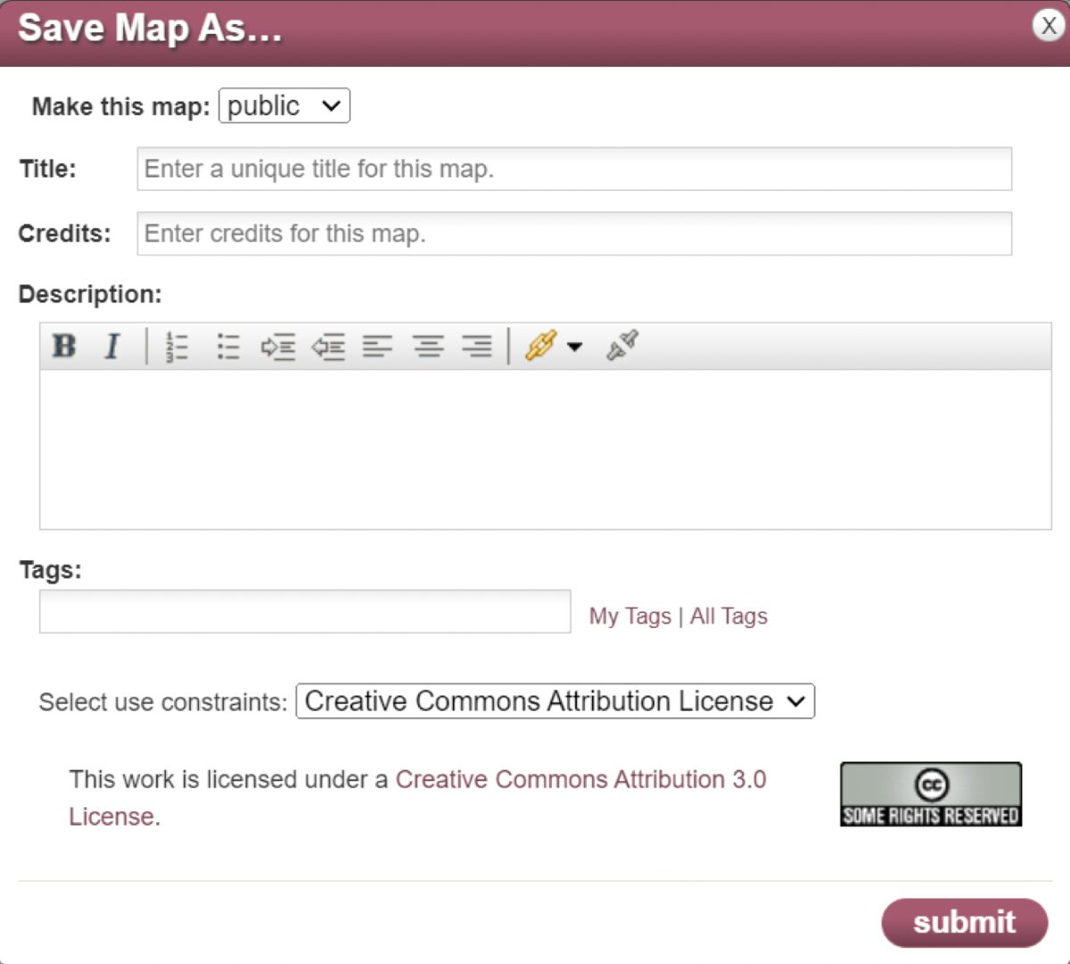
Don’t worry, the system will not allow you as a third-party viewer to change and save over the original map thereby corrupting it. The original map can only be updated and changed by the account that created it. Once you click the Save icon, you’re presented with a pop-up window asking you to populate the details of your Map.

From this pop-up window, you are asked to:
- Make your copy of the map public or private (Note: If the map contains any private datasets that you have access to, you are prevented from making the map public.)
- Add a new Title for your map – you will be the owner of this version.
- Insert your name (or credit) for the map.
- Provide a description.
- Type in one or more tags to aid in searching by others.
After clicking Submit, the Map page reloads with your version of the map on-screen and automatically saves it to your private workspace map folder. That’s all there is to it.
Happy Mapping – The Data Basin Team