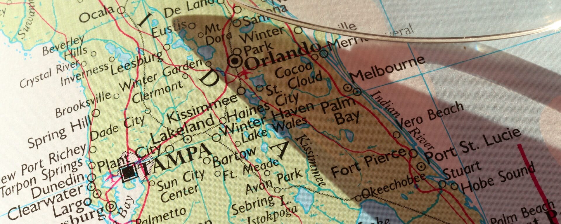
CBI is expanding on previous work with the Peninsular Florida Landscape Conservation Cooperative (PFLCC) to further develop the PFLCC Simple Viewer to provide greater functionality and flexibility. In March 2017, CBI worked with PFLCC to incorporate PFLCC’s Blueprint version 1.0 into the viewer, and also created new reporting functionality to export on-screen results to PDF. In July 2017, CBI introduced the ability to aggregate multiple watersheds for display of summary information. This is particularly useful for users whose areas of interest and jurisdictions span multiple watersheds.
CBI is currently working on creating a Conservation Actions Tracker that will be added to the PFLCC Conservation Planning Atlas developed by CBI using Data Basin. This Conservation Actions Tracker will to allow users throughout Florida to enter information about conservation actions on the landscape – such as restoration activities – using an intuitive map-oriented interface. Users will also be able to explore any conservation actions in the system, and discover opportunities for collaboration and shared impact.
CBI is in the process of designing a new interactive application to showcase the PFLCC climate change adaptation guide so that users will be able to use interactive maps and data visualization to gain a greater understanding of climate change adaptations within Florida landscapes.
CBI is producing a spatial decision support system (SDSS) for the Sonoma County Agricultural Preservation and Open Space District (“District”). The District works to conserve habitat, watersheds, and agriculture for people and wildlife in Sonoma County, CA, and is pursuing the development of an SDSS to help guide its land conservation strategies. First, the SDSS will support the development of a ten-year, comprehensive county-wide conservation plan through analysis of multiple conservation themes. It will also assist parcel-scale decisions relating to individual conservation easement projects. In addition, it will produce county-wide outputs (e.g., high priority habitat areas) that can be integrated with other open space planning and scenario-building processes (e.g., the County General Plan). Finally, the SDSS framework—its hierarchical data integration architecture—and supporting data will be published online as an interactive, Web-based program so that the public can explore and learn about the District’s prioritization methods and priority conservation areas.
On the technical end, the Sonoma County SDSS will use an expansion of CBI’s Environmental Evaluation Modeling System (EEMS) along with a new habitat representation algorithm and an expansion of the Linkage Mapper connectivity model (from circuitscape.org). Please contact John Gallo with any questions or comments.
The San Joaquin Valley Data Basin Gateway was created to support a multi-stakeholder effort to identify least conflict lands for utility scale solar development in the San Joaquin Valley in Central California. Stakeholders represented include the solar industry, farming community, ranching community, and environmental community. Each stakeholder group addressed the least conflict question from their perspectives and generated map-based results. After compiling the results, around 470,000 acres of land was identified as potentially desirable to solar developers and least conflict from the standpoint of the other groups. Phase I is complete with a final report due out in February 2016, but the Gateway persists with an extremely valuable data library (~600 datasets pertinent to the region) and other content, and stakeholders have expressed interest in continuing to use the system to continue refining the work into the future.
National interest in roadless area conservation dates back to the 1970s when the Forest Service was directed by Congress to inventory roadless areas in response to the public’s growing desire to protect wild landscapes primarily through wilderness designations. In 2001, President Clinton enacted the Roadless Conservation Rule to protect 58.5 million acres of inventoried roadless areas on Forest Service lands, including nearly 2 million acres in Oregon. However, on May 13, 2005 the Bush administration issued a revised rule that established a process for governors to propose locally supported regulations for conserving roadless area within their states. While some states, including Oregon, have legally challenged this rule change, State governments will continue to play a vital role in providing recommendations to the Forest Service concerning the protection of federal roadless areas. This report provides new information on the importance of roadless areas in Oregon that places these areas among the most ecologically valued in the nation, thereby providing a scientific foundation for protecting all of Oregon’s roadless lands regardless of the method to achieve this outcome.
As more people move into remote areas throughout western forests and rangelands, it is increasingly important for scientists, land managers, policy makers, and the public to understand the natural fire dynamics of these systems. Over the last decade, wildfires have burned on average approximately 4.2 million acres each year with lows of 2.3 million acres in 1993, 1995, and 1998 and a decadal high of 8.4 million acres in 2000 (NIFC 2004). There is growing concern about the number of severe fires throughout the West and their impact on human communities and local economies. Some argue that the buildup of fuels to unnatural levels is primarily the result of decades of fire suppression while others argue that prolonged and more frequent droughts are most responsible. While both positions are defensible, it is unwise to oversimplify the situation as natural fire regimes and the human impacts on these regimes can be quite complex and highly variable from place to place (Turner et al. 2003).
The purpose of this study was to develop an approach to mapping fire hazard at an intermediate spatial scale for the Oregon portion of the Illionis River Basin and to demonstrate how such an approach can be used to identify and prioritize fire management activities that would have the greatest chance of minimizing human losses from fire while protecting the many conservation values of the region. The Illinois River Basin was chosen because the rural communities in this basin were among the most threatened by the Biscuit fire of 2002.
Detailed information for the Biscuit Fire can be found at the official US Forest Service Biscuit Fire website.
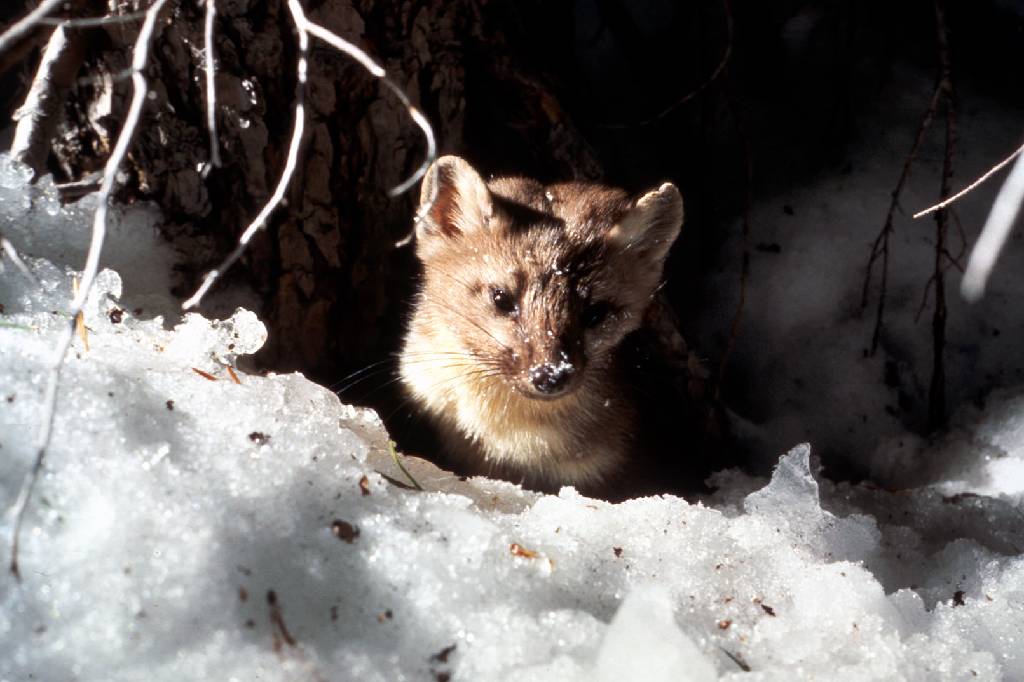
CBI investigated the effects of climate and vegetation on the distribution of martens (Martes caurina) and fishers (Martes pennanti) in the Sierra Nevada in California under current and projected  future conditions to inform conservation efforts for these species and to investigate how different modeling methods and resolutions may affect predictions about species’ responses to climate change. Martens and fishers are closely related forest carnivores of conservation concern in California, where both reach their southernmost distributions. The species have contiguous elevation ranges, with the smaller marten occupying high subalpine forests that experience deep and persistent snow, and the larger fisher occupying mid-elevation forests that experience less snow and warmer temperatures.
The goals of this project were to:
- add robust, downscaled, climate-change effects assessments to CBI’S Sierra Nevada Carnivores project, which is a comprehensive, science-based effort to map areas important to sustaining rare carnivore populations and improving forest management.
- compare alternative analytical approaches and resolutions for assessing climate impacts on vegetation and sensitive species.
 Because martens and fishers require similar forest structural conditions (dense forests with large trees and abundant dead wood) but different climate regimes (cooler, moister, and snowier conditions for martens; warmer, drier and less snowy conditions for fishers) they offer a unique opportunity to investigate how our changing climate may affect the species directly as well as via changes in vegetation. Also, because they compete with one another for food, and fishers will kill martens when they meet, this system offers an opportunity to investigate how species interactions may also affect future populations.
Specific study tasks:
- Examine how the current distributions of martens and fishers are influenced by vegetation characteristics (e.g., forest composition and structure), climate (e.g., temperature, precipitation, snow depth and duration), physical variables (e.g., elevation, % slope) and presence or absence of the other species.
- Project the potential future distribution of both species under climate change based on results of Task 1 and using alternative emissions scenarios and general circulation models at different resolutions.
- Use the results to support conservation and forest management plans to ensure long-term sustainability of marten and fisher populations in the face of climate change and increasingly severe fire regimes.
Click here for Methods, Outcomes, Interpretation and Related Data
This project was a highly collaborative effort to identify and characterize areas important to maintaining a functional network of connected wildlands throughout the state of California. CBI worked with a team of planners, GIS modelers, and biologists, with input and guidance from numerous state, federal, and local agencies and stakeholders, to create three primary products:
(1) a statewide Essential Habitat Connectivity Map
(2) a database characterizing areas delineated on the map
(3) guidance for mitigating the fragmenting effects of roads and for developing and implementing local and regional connectivity plans
The essential connectivity network consists of relatively intact and well-conserved habitat areas (natural landscape blocks) that support native biodiversity and essential connectivity areas for maintaining wildlife movement and other ecological flows between them. The final report provides detailed guidance for considering ecological connectivity in transportation and land management planning, preparing finer-resolution regional and local connectivity plans and linkage designs, and siting and creating road-crossing improvements for wildlife to improve ecological connectivity and reduce vehicle-wildlife collisions. All products were produced using cutting-edge GIS modeling methods in a highly collaborative, transparent, and repeatable process that could be emulated by other states. The project was given the 2011 Exemplary Ecosystem Initiative Award by the Federal Highways Administration.
Please visit the California Essential Habitat Connectivity Project website
Avoidance of airspace over various sensitive areas (including many designated protected areas) is mandated by public law, including Federal Aviation Administration (FAA) regulations and Department of Defense (DoD) Service Branch regulations. Until now, aviators used a variety of sources to help them identify these areas. Sectional charts, Flight Information Publications (FLIP), Notice to Airman (NOTAMS), and the Managed Areas Database (MAD) are among the resources available to aviators for pre-flight planning and in-flight avoidance. Because of the cumbersome nature of this approach and the lack of a national standard, numerous errors have been made resulting in civil and fiscal penalties and numerous public complaints.
The purpose of the Protected Areas Database Aviation (or PAD Aviation) is to provide military and civil aviators with current, geo-referenced data that identifies areas sensitive or potentially sensitive to aircraft over-flight using a draft national standard. PAD Aviation is a customized protected areas database derived from the PAD-US 1.1 (CBI Edition) that streamlines the geometry for rapid response with onboard navigation equipment and contains pertinent attributes unique for aviators. For example, easy-to-use recommended altitude or avoidance information for individual protected areas.
