The California Department of Transportation (Caltrans) and California Department of Fish and Game (CDFG) commissioned the California Essential Habitat Connectivity Project because a functional network of connected wildlands is essential to the continued support of California’s diverse natural communities in the face of human development and climate change. This Report is also intended to make transportation and land-use planning more efficient and less costly, while helping reduce dangerous wildlife-vehicle collisions.
This Report was produced by a highly collaborative, transparent, and repeatable process that can be emulated by other states. The work was guided by input and review of a Multidisciplinary Team of agency representatives, a Technical Advisory Group, and a Steering Committee. The Multidisciplinary Team (~200 people from 62 agencies) provided broad representation across Federal, State, Tribal, regional, and local agencies that are involved in biodiversity conservation, land-use planning, or land management—and that could therefore both contribute to and benefit from efforts to improve habitat connectivity at various scales. The Technical Advisory Group (44 people from 23 agencies) was a subset of the Multidisciplinary Team. It provided technical expertise to help guide such decisions as selection of data sources, models, and mapping criteria. The Steering Committee (ten people from four partner agencies) guided key decisions about work flow, meeting agendas, and document contents. In addition to review by these agency representatives, the work plan and this final report were subject to peer review by five outside experts in conservation biology and conservation planning.
This report assess (1) the current status of fisher habitat and fishers (Martes pennanti) in the southern Sierra Nevada, California, and (2) how fisher habitat and the fisher population may respond in the future to potential forest management practices and wildfires. The ultimate goals are to hlep the three southern Sierra Forests (Sierra, Sequoia, and Stanislaus) improve landscape-level fuels management plans intended to reduce the risk of unplanned and unwanted wildland fire to human and natural communities, to restore and maintain fire-adapted ecosystems, and to conserve habitat for at-risk species.
The fisher is one at risk species whose habitat and population in the Sierra Nevada may be threatened by unnaturally large and severe wildfires; however, they may also be harmed by management efforts intended to reduce wildfire threats. This report assesses these competing threat and applies the results to recommending approaches for maximizing Fireshed Assessment goals, including to conserve and enhance habitat value for fishers to ensure their continued persistence, and perhaps expansion, in the Sierra Nevada.
Altruism presents a challenge to evolutionary theory because selection should favor selfish over caring strategies. Greenbeard altruism resolves this paradox by allowing cooperators to identify individuals carrying similar alleles producing a form of genic selection. In side-blotched lizards, genetically similar but unrelated blue male morphs settle on adjacent territories and cooperate. Here we show that payoffs of cooperation depend on asymmetric costs of orange neighbors. One blue male experiences low fitness and buffers his unrelated partner from aggressive orange males despite the potential benefits of defection. We show that recognition behavior is highly heritable in nature, and we map genetic factors underlying color and self-recognition behavior of genetic similarity in both sexes. Recognition and cooperation arise from genomewide factors based on our mapping study of the location of genes responsible for self-recognition behavior, recognition of blue color, and the color locus. Our results provide an example of greenbeard interactions in a vertebrate that are typified by cycles of greenbeard mutualism interspersed with phases of transient true altruism. Such cycles provide a mechanism encouraging the origin and stability of true altruism.
This Stephens’ Kangaroo Rat Rangewide Management and Monitoring Plan summarizes new and existing information about the endangered Stephens’ kangaroo rat (SKR; Dipodomys stephensi) and uses it to present comprehensive, rangewide SKR management and monitoring strategies. It is intended to help agencies responsible for SKR conservation be more efficient and effective in managing and tracking changes important for SKR recovery. It will also help these agencies coordinate more strategically to promote rangewide species conservation goals, because local SKR conservation actions within particular reserves or Habitat Conservation Areas can contribute to SKR conservation at broader scales.
This project was spearheaded by Riverside County Habitat Conservation Agency (RCHCA) and funded by Bureau of Land Management. The Stephens’ Kangaroo Rat Rangewide Management and Monitoring Plan was prepared by Conservation Biology Institute (CBI) working closely with Riverside County Habitat Conservation Agency (RCHCA), Bureau of Land Management, U.S. Fish & Wildlife, and a working group of species experts and land managers responsible for SKR conservation.
*SKR Working Group members include representatives from Bureau of Land Management; California Department of Fish and Wildlife, Inland Deserts and South Coast Regions; California State Parks, San Jacinto Lake Perris; County of San Diego Department of Parks and Recreation; March Air Reserve Base; U.S. Marine Base Camp Pendleton; U.S. Naval Base Coronado, U.S. Naval Base Coronado Remote Training Site Warner Springs; Riverside County Habitat Conservation Agency; San Diego Zoo Global (now San Diego Zoo Wildlife Alliance), Institute of Conservation Research; The Nature Conservancy; University of California Riverside Motte Rimrock/Emerson Oaks Reserve; U.S. Forest Service; U.S. Geological Survey, San Diego Management and Monitoring Program; U.S. Fish and Wildlife Service, Carlsbad and Palm Springs Field Offices; Vista Irrigation District; Waste Management Inc., El Sobrante Landfill; Western Riverside County Regional Conservation Authority; and independent biologists Stephen Montgomery and Mark Pavelka (U.S. Fish and Wildlife Service, Retired). Please see Appendix A: SKR Working Group and Subgroup Members.
Illegal cannabis cultivation on public lands has emerged as a major threat to wildlife in California and southern Oregon due to the rampant use of pesticides, habitat destruction, and water diversions associated with trespass grow sites. The spatial distribution of cultivation sites, and the factors influencing where they are placed, remain largely unknown due to covert siting practices and limited surveillance funding. We obtained cannabis grow-site locality data from law enforcement agencies and used them to model the potential distribution of cultivation sites in forested regions of California and southern Oregon using maximum entropy (MaxEnt) methods. We mapped the likely distribution of trespass cannabis cultivation sites and identified environmental variables influencing where growers establish their plots to better understand the cumulative impacts of trespass cannabis cultivation on wildlife. We overlaid the resulting grow-site risk maps with habitat distribution maps for three forest species of conservation concern: Pacific fisher (Pekania pennanti), Humboldt marten (Martes caurina humboldtensis), and northern spotted owl (Strix occidentalis caurina). Results indicate that cannabis cultivation is fairly predictably distributed on public lands in low to mid-elevation (~800-1600m) forests and on moderate slopes (~30–60%). Somewhat paradoxically, results also suggest that growers either preferred sites inside of recently disturbed vegetation (especially those burned 8–12 years prior to cultivation) or well outside (>500m) of recent disturbance, perhaps indicating avoidance of open edges. We ground-truthed the model by surveying randomly selected stream courses for cultivation site presence in subsets of the modeling region and found previously undiscovered sites mostly within areas with predicted high likelihood of grow-site occurrence. Moderate to high-likelihood areas of trespass cultivation overlapped with 40 to 48% of modeled habitats of the three sensitive species. For the endangered southern Sierra Nevada fisher population, moderate-high likelihood growing areas overlapped with over 37% of modeled fisher denning habitat and with 100% of annual female fisher home ranges (mean overlap = 48.0% + 27.0 SD; n = 134) in two intensively studied populations on the Sierra National Forest. Locating and reclaiming contaminated cannabis grow sites by removing all environmental contaminants should be a high priority for resource managers.
The relationship between fishers (Pekania pennanti), fire, and fuel management in the Sierra Nevada region is complex and highly controversial, and the recent listing of southern Sierra Nevada fishers as endangered has brought this issue to the forefront for many land managers. While wildfire is a natural component of the historic disturbance regime in the dry, mixed conifer forests of California, it also has the capacity to destroy large swaths of suitable habitat and to fragment tenuous populations, particularly given recent shifts in wildfire scope and severity. Therefore, balancing fuel reduction with habitat conservation requires careful consideration of spatial and temporal context, cumulative effects, and management prescriptions. There are several unresolved questions pertaining to fishers, including how and when fishers begin to reuse postfire landscapes and whether this information can be applied to postfire efforts to restore habitat connectivity and limit negative impacts of population fragmentation. To better understand fisher response to postfire landscapes, and to provide land managers with guidance regarding habitat restoration efforts, we investigated fisher recolonization behavior in and around 2 recent Sierra Nevada wildfires. We hypothesized that fisher use of postfire landscapes would be driven by at least 1 of 4 primary variables: prefire habitat quality, fire severity, topography, and time since fire. We developed 5 hypotheses regarding how fishers would begin to explore postfire landscapes and tested them using a combination of fine- and coarse-scale analyses based on data collected using scat detection dogs. At fine scales, the strongest relationship we observed was the combination of fire severity and landscape curvature on fisher scat location. At coarser scales, fisher colonization rates reflected avoidance of areas dominated by higher-severity fire, and fishers had a higher probability of being found in areas with larger and more contiguous patches of low-severity fire. Our results suggest that fisher use of postfire landscapes may center on low-severity or unburned islands (i.e., fire refugia/fire skips) and on fine-scale topographic features associated with landscape concavity, such as ravines or topographic depressions. Efforts to promote a sustainable low- to mixed-severity fire regime that creates habitat heterogeneity and forest resiliency can support fisher conservation in this region, and restoration efforts that capitalize on connecting fire refugia using microtopography as a foundation may facilitate habitat connectivity for fishers more rapidly than traditional methods.
Ecosystem management and governance of cross-scale dependent systems require integrating knowledge about ecological connectivity in its multiple forms and scales. Although scientists, managers, and policymakers are increasingly recognizing the importance of connectivity, governmental organizations may not be currently equipped to manage ecosystems with strong cross-boundary dependencies. Managing the different aspects of connectivity requires building social connectivity to increase the flow of information, as well as the capacity to coordinate planning, funding, and actions among both formal and informal governance bodies. We use estuaries in particular the San Francisco Estuary, in California, in the United States, as examples of cross-scale dependent systems affected by many intertwined aspects of connectivity. We describe the different types of estuarine connectivity observed in both natural and human-affected states and discuss the human dimensions of restoring beneficial physical and ecological processes. Finally, we provide recommendations for policy, practice, and research on how to restore functional connectivity to estuaries.
The Southern Sierra Nevada Fisher Conservation Strategy provides science-based guidance for conserving and recovering an isolated population of Pacific fisher (Pekania pennanti) in the southern Sierra Nevada (Figure 1) by reducing threats and increasing the quality and resiliency of fisher habitat. The strategy is based on the best available scientific information on fishers and their habitats in the area, as summarized in the Southern Sierra Nevada Fisher Conservation Assessment (Spencer et al. 2015; hereafter, Conservation Assessment). Nevertheless, uncertainties remain concerning the potential effects of fires, climate change, management actions, and other factors on fishers and their habitat. The Strategy must therefore be implemented within an adaptive management framework to allow adjustments as new information accrues from monitoring and other sources. The Strategy should therefore be considered a “living document” that is regularly updated with new information. See Sections 9 and 10 for research and analytical tasks to be implemented in the near future, and the results used to update this Version 1.0 Strategy document and associated data sets and decision-support tools.
The Strategy is intended to meet the needs of multiple agencies with an interest in fisher conservation and land management in the Sierra Nevada, including the USDA Forest Service (USFS), National Park Service (NPS), US Fish and Wildlife Service (USFWS), California Department of Fish and Wildlife (CDFW), Sierra Nevada Conservancy (SNC), and other local, state, federal, tribal, and private entities whose actions may affect fishers or their habitat . As such, the Strategy is intended to be compatible with diverse agency missions, objectives, and legal requirements.
The Strategy was developed to be implemented over about 30 years, after which it should be comprehensively re-evaluated to ensure that the conservation measures remain relevant and effective. Some aspects should be reviewed and updated within the first 2-3 years of implementation to refine methods, guidelines, maps, or other aspects as needed. Thereafter, the Strategy should be updated every 4-6 years to support important agency processes, such as land management plan revisions. Essential datasets (e.g., vegetation, fire, and management data) should be updated regularly as part of the adaptive management process—ideally annually or at least every 5 years.
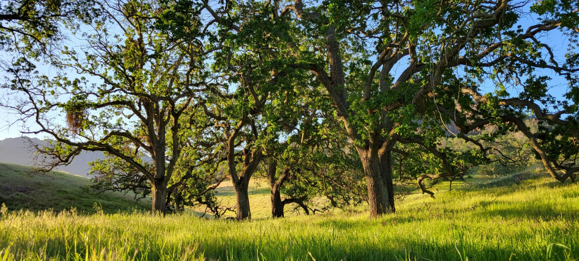
*Thumbnail photo by Christina Schaefer.
Variation in body size, especially mass, is a function of local environmental conditions for any given species. Recent recorded decreases in body size of endotherms have been attributed to climate change in some cases. This prediction is based on the trend of smaller body size of endotherms in warmer climates (Bergmann’s rule) and it implies genetic responses rather than phenotypic flexibility. Alternatively, selection for smaller body size or lower mass could be explained by the starvation-predation hypothesis, where lighter individuals have a higher probability of escaping pursuing predators, such as raptors. Evidence that climate warming is driving patterns of size selection in birds in recent times has been mixed. We inspected data on 40 bird species contributed by bird ringers to the South African Ringing Scheme (SAFRING) for changes in body mass and condition as a function of time (year), minimum temperature of the day of capture, maximum temperature of the previous day, and rainfall data in the south-western Cape Floristic Region (fynbos) around Cape Town, South Africa, for the period 1988–2015. The region shows a warming trend over the study period (0.035 °C yr−1). Interannual body mass and condition change were poorly explained by year or temperature. High daily minimum temperature explained loss of body condition for four species, whereas evidence from recaptured birds indicated negative effects of increasing maximum daily temperature, as well as rain. For the alternative hypothesis, because raptor abundance is stable or only weakly declining, there is little evidence to suggest these as a driver influencing mass trends. Any decrease in body mass over the study period that we observed for birds appear more likely to be plastic responses to stress associated with temperature or rainfall at this time, rather than systematic selection for smaller body size, as predicted by Bergmann’s Rule.
Biological communities are increasingly faced with novel urban habitats and their response may depend on a combination of biological and habitat traits. The response of pollinator species to urban habitats are of particular importance because all species involved in the pollination mutualism may be affected. Nectarivorous bird communities worldwide show varying tolerances to urban areas, but studies from Africa are lacking. We investigated nectarivorous bird communities in a medium‐sized South African city and asked which biological and garden traits best predict the community assembly of specialist and opportunistic nectarivorous birds. Information was collected on garden traits and the frequency of nine nectarivorous bird species for 193 gardens by means of a questionnaire. Information on biological traits of birds was obtained from published literature. Habitat generalism and tree nesting were identified as the most important biological traits influencing bird occurrence in gardens. A greater diversity of indigenous bird‐pollinated plants and the presence of sugar water feeders increased the numbers of nectar specialist birds and species richness of nectarivorous birds. While bird baths increased the species richness of nectar specialist birds, opportunistic birds’ urban adjustment was further facilitated by large vegetated areas in gardens and limited by the distance to the nearest natural habitat. In conclusion, though some biological traits and dispersal barriers seem to limit urban adjustment, a combination of natural and artificial nectar resource provisioning could facilitate this adjustment.