With the potential for worsening fire conditions, discussion is escalating over how to best reduce effects on urban communities. A widely supported strategy is the creation of defensible space immediately surrounding homes and other structures. Although state and local governments publish specific guidelines and requirements, there is little empirical evidence to suggest how much vegetation modification is needed to provide significant benefits. We analysed the role of defensible space by mapping and measuring a suite of variables on modern pre-fire aerial photography for 1000 destroyed and 1000 surviving structures for all fires where homes burned from 2001 to 2010 in San Diego County, CA, USA. Structures were more likely to survive a fire with defensible space immediately adjacent to them. The most effective treatment distance varied between 5 and 20 m (16–58 ft) from the structure, but distances larger than 30 m (100 ft) did not provide additional protection, even for structures located on steep slopes. The most effective actions were reducing woody cover up to 40% immediately adjacent to structures and ensuring that vegetation does not overhang or touch the structure. Multiple-regression models showed landscape-scale factors, including low housing density and distances to major roads, were more important in explaining structure destruction. The best long-term solution will involve a suite of prevention measures that include defensible space as well as building design approach, community education and proactive land use planning that limits exposure to fire.
The increasing extent of wildfires has prompted investigation into alternative fire management approaches to complement the traditional strategies of fire suppression and fuels manipulation. Wildfire prevention through ignition reduction is an approach with potential for success, but ignitions result from a variety of causes. If some ignition sources result in higher levels of area burned, then ignition prevention programmes could be optimised to target these distributions in space and time. We investigated the most common ignition causes in two southern California sub-regions, where humans are responsible for more than 95% of all fires, and asked whether these causes exhibited distinct spatial or intra-annual temporal patterns, or resulted in different extents of fire in 10–29-year periods, depending on sub-region. Different ignition causes had distinct spatial patterns and those that burned the most area tended to occur in autumn months. Both the number of fires and area burned varied according to cause of ignition, but the cause of the most numerous fires was not always the cause of the greatest area burned. In both sub-regions, power line ignitions were one of the top two causes of area burned: the other major causes were arson in one sub-region and power equipment in the other. Equipment use also caused the largest number of fires in both sub-regions. These results have important implications for understanding why, where and how ignitions are caused, and in turn, how to develop strategies to prioritise and focus fire prevention efforts. Fire extent has increased tremendously in southern California, and because most fires are caused by humans, ignition reduction offers a potentially powerful management strategy, especially if optimised to reflect the distinct spatial and temporal distributions in different ignition causes.
In the California Sierra Nevada region, increased fire activity over the last 50 years has only occurred in the higher-elevation forests on US Forest Service (USFS) lands, and is not characteristic of the lower-elevation grasslands, woodlands and shrublands on state responsibility lands (Cal Fire). Increased fire activity on USFS lands was correlated with warmer and drier springs. Although this is consistent with recent global warming, we found an equally strong relationship between fire activity and climate in the first half of the 20th century. At lower elevations, warmer and drier conditions were not strongly tied to fire activity over the last 90 years, although prior-year precipitation was significant. It is hypothesised that the fire–climate relationship in forests is determined by climatic effects on spring and summer fuel moisture, with hotter and drier springs leading to a longer fire season and more extensive burning. In contrast, future fire activity in the foothills may be more dependent on rainfall patterns and their effect on the herbaceous fuel load. We predict spring and summer warming will have a significant impact on future fire regimes, primarily in higher-elevation forests.Lower elevation ecosystems are likely to be affected as much by global changes that directly involve land-use patterns as by climate change.
Most species face multiple anthropogenic disruptions. Few studies have quantified the cumulative influence of multiple threats on species of conservation concern, and far fewer have quantified the potential relative value of multiple conservation interventions in light of these threats. We linked spatial distribution and population viability models to explore conservation interventions under projected climate change, urbanization, and changes in fire regime on a long-lived obligate seeding plant species sensitive to high fire frequencies, a dominant plant functional type in many fire-prone ecosystems, including the biodiversity hotspots of Mediterranean-type ecosystems. First, we investigated the relative risk of population decline for plant populations in landscapes with and without land protection under an existing habitat conservation plan. Second, we modeled the effectiveness of relocating both seedlings and seeds from a large patch with predicted declines in habitat area to 2 unoccupied recipient patches with increasing habitat area under 2 projected climate change scenarios. Finally, we modeled 8 fire return intervals (FRIs) approximating the outcomes of different management strategies that effectively control fire frequency. Invariably, long-lived obligate seeding populations remained viable only when FRIs were maintained at or above a minimum level. Land conservation and seedling relocation efforts lessened the impact of climate change and land-use change on obligate seeding populations to differing degrees depending on the climate change scenario, but neither of these efforts was as generally effective as frequent translocation of seeds. While none of the modeled strategies fully compensated for the effects of land-use and climate change, an integrative approach managing multiple threats may diminish population declines for species in complex landscapes. Conservation plans designed to mitigate the impacts of a single threat are likely to fail if additional threats are ignored.
Aim: Conservation efforts in Mediterranean-climate regions are complicated by species’ variability in response to multiple threats. Functional type classifications incorporating life history traits with disturbance response strategies provide a framework for predicting groups of species’ response to fire, but it is unclear whether these classifications will be useful when species are exposed to multiple threats or differ in spatial context. We evaluate whether species of the same fire-response functional type exhibit similar responses to disturbance relative to, and in combination with, climate and land-use change and whether the dominant threat depends on spatial context.
Location: Mediterranean southern California.
Methods: We developed species distribution models under current and future climate conditions for two fire-obligate seeding native shrub species that differ in geographical location and area of occupancy. Dynamic habitat maps representing alternative scenarios of climate change and urban growth were coupled with population models and simulated stochastic fire regimes.
Results: The disturbance that defines their classification, fire, is projected to be the most serious threat to both species when fire frequency is high. At longer fire return intervals, however, the projected ranking of threats differed between the species, and spatial context played an important role in defining vulnerability.
Main conclusions: Considering ongoing increases in fire frequency in Mediterranean-climate regions worldwide, functional type classification based on disturbance response may continue to provide a useful framework for biodiversity conservation efforts, but spatial context should also be accounted for. It may be most useful to consider the distribution of vulnerable species with regard to urban development patterns, areas of ‘high-velocity’ climate shifts, and places where altered fire regimes are likely to interact with other threats.
As a clear consensus is emerging that habitat for many species will dramatically reduce or shift with climate change, attention is turning to adaptation strategies to address these impacts. Assisted colonization is one such strategy that has been predominantly discussed in terms of the costs of introducing potential competitors into new communities and the benefits of reducing extinction risk. However, the success or failure of assisted colonization will depend on a range of population-level factors that have not yet been quantitatively evaluated – the quality of the recipient habitat, the number and life stages of translocated individuals, the establishment of translocated individuals in their new habitat and whether the recipient habitat is subject to ongoing threats all will play an important role in population persistence. In this article, we do not take one side or the other in the debate over whether assisted colonization is worthwhile. Rather, we focus on the likelihood that assisted colonization will promote population persistence in the face of climate-induced distribution changes and altered fire regimes for a rare endemic species. We link a population model with species distribution models to investigate expected changes in populations with climate change, the impact of altered fire regimes on population persistence and how much assisted colonization is necessary to minimize risk of decline in populations of Tecate cypress, a rare endemic tree in the California Floristic Province, a biodiversity hotspot. We show that assisted colonization may be a risk-minimizing adaptation strategy when there are large source populations that are declining dramatically due to habitat contractions, multiple nearby sites predicted to contain suitable habitat, minimal natural dispersal, high rates of establishment of translocated populations and the absence of nonclimatic threats such as altered disturbance regimes. However, when serious ongoing threats exist, assisted colonization is ineffective.
Increasing numbers of homes are being destroyed by wildfire in the wildland-urban interface. With projections of climate change and housing growth potentially exacerbating the threat of wildfire to homes and property, effective fire-risk reduction alternatives are needed as part of a comprehensive fire management plan. Land use planning represents a shift in traditional thinking from trying to eliminate wildfires, or even increasing resilience to them, toward avoiding exposure to them through the informed placement of new residential structures. For land use planning to be effective, it needs to be based on solid understanding of where and how to locate and arrange new homes. We simulated three scenarios of future residential development and projected landscape-level wildfire risk to residential structures in a rapidly urbanizing, fire-prone region in southern California. We based all future development on an econometric subdivision model, but we varied the emphasis of subdivision decision-making based on three broad and common growth types: infill, expansion, and leapfrog. Simulation results showed that decision-making based on these growth types, when applied locally for subdivision of individual parcels, produced substantial landscape-level differences in pattern, location, and extent of development. These differences in development, in turn, affected the area and proportion of structures at risk from burning in wildfires. Scenarios with lower housing density and larger numbers of small, isolated clusters of development, i.e., resulting from leapfrog development, were generally predicted to have the highest predicted fire risk to the largest proportion of structures in the study area, and infill development was predicted to have the lowest risk. These results suggest that land use planning should be considered an important component to fire risk management and that consistently applied policies based on residential pattern may provide substantial benefits for future risk reduction.
Large shifts in species ranges have been predicted under future climate scenarios based primarily on niche-based species distribution models. However, the mechanisms that would cause such shifts are uncertain. Natural and anthropogenic fires have shaped the distributions of many plant species, but their effects have seldom been included in future projections of species ranges. Here, we examine how the combination of climate and fire influence historical and future distributions of the ponderosa pine–prairie ecotone at the edge of the Black Hills in South Dakota, USA, as simulated by MC1, a dynamic global vegetation model that includes the effects of fire, climate, and atmospheric CO2 concentration on vegetation dynamics. For this purpose, we parameterized MC1 for ponderosa pine in the Black Hills, designating the revised model as MC1-WCNP. Results show that fire frequency, as affected by humidity and temperature, is central to the simulation of historical prairies in the warmer lowlands versus woodlands in the cooler, moister highlands. Based on three downscaled general circulation model climate projections for the 21st century, we simulate greater frequencies of natural fire throughout the area due to substantial warming and, for two of the climate projections, lower relative humidity. However, established ponderosa pine forests are relatively fire resistant, and areas that were initially wooded remained so over the 21st century for most of our future climate x fire management scenarios. This result contrasts with projections for ponderosa pine based on climatic niches, which suggest that its suitable habitat in the Black Hills will be greatly diminished by the middle of the 21st century. We hypothesize that the differences between the future predictions from these two approaches are due in part to the inclusion of fire effects in MC1, and we highlight the importance of accounting for fire as managed by humans in assessing both historical species distributions and future climate change effects.
Chapter 5. “The 2003 and 2007 Wildfires in Southern California” in Natural Disasters and Adaptation to Climate Change
Introduction
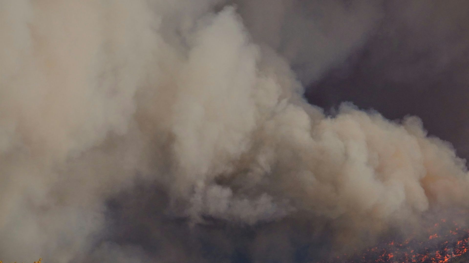
Although many residents of southern California have long recognised that wildfires in the region are an ongoing, constant risk to lives and property, the enormity of the regional fire hazard caught the world’s attention during the southern California firestorms of 2003 (Figure 5.1). Beginning on 21 October, a series of fourteen wildfires broke out across the five-county region under severe Santa Ana winds, and within two weeks, more than 300,000 ha had burned (Keeley et al., 2004). The event was one of the costliest in the state’s history, with more than 3,600 homes damaged or destroyed and twenty-four fatalities. Suppression costs for the 12,000 firefighters have been estimated at US$120 million, and the total response and damage cost has been estimated at more than US$3 billion (COES, 2004).
Just four years later, almost to the day, this event was repeated. Beginning on 22 October 2007, thirteen wildfires broke out across the same region, and under similar Santa Ana winds, consuming more than 175,000 ha, destroying more than 3,300 structures and killing seven people (Keeley et al., 2009). The 2003 and the 2007 wildfires were remarkably similar in their causes, impacts and the human responses they elicited. Particularly alarming is the observation that these fire events are not new to the region, as large fire events have occurred historically.
Chaparral shrublands in southern California, US, exhibit significant biodiversity but are prone to large,intense wildfires. Debate exists regarding fuel reduction to prevent such fires in wildland areas, but the effects of these fires on fauna are not well understood. We studied whether fire severity and distance from unburned fire perimeter influenced recovery of the small-mammal community from 13 to 39 months after the large (1134.2 km2) Cedar fire in San Diego County. In general, neither factor influenced small-mammal recovery. However, vegetation characteristics, distance to riparian habitat and the prevalence of rocky substrate affected recovery in species-specific patterns. This indicates the effects of fire severity and immigration from outside the fire perimeter, if they occur, do so within 1 year, whereas longerterm recovery is largely driven by previously known relationships between small mammals and habitat structure. Our results, when combined with results from other studies in southern California, suggest where human lives or infrastructure are not at risk, efforts to preserve chaparral biodiversity should focus on maintaining the native plant community. Doing so may require novel management strategies in the face of an increasing human population, ignition sources and the spread of invasive exotic plants.