Event Details

Presenter
CBI Host
Date
Related Resources
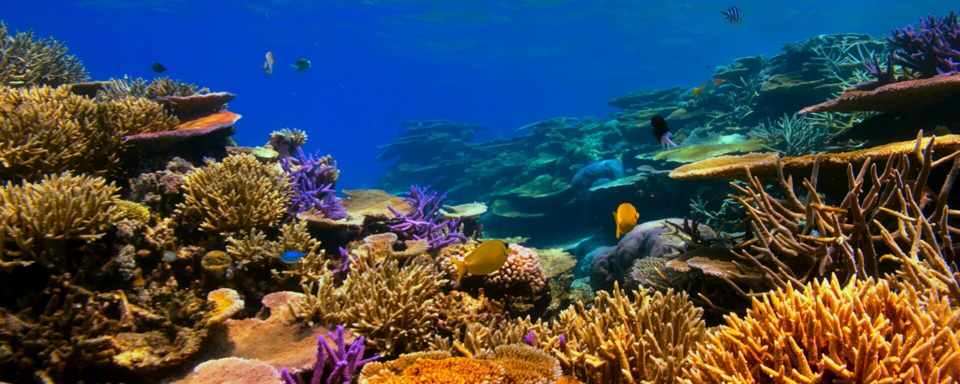
The Allen Coral Atlas (http://allencoralatlas.org) is the world’s first high resolution, globally consistent map of the world’s coral reefs. In their work, Atlas partners are developing cutting-edge technology to create an accurate global mosaic view of coral reefs from satellite images of reefs. As the Atlas develops maps of benthic habitat and reef geomorphology regionally and then globally, the field engagement component of the partnership seeks to identify and enable users of the Atlas to achieve conservation results (e.g., through marine spatial planning or other efforts). In this webinar, field engagement team members will share the vision behind the Atlas, review the technology being used to create it, and introduce the tool’s functionality.
The Atlas is funded primarily by Vulcan Inc. (founded by the late Microsoft co-founder and philanthropist Paul G. Allen); partners include Planet, ASU’s Center for Global Discovery and Conservation Science, UQ’s Remote Sensing Research Center (RSRC), which leads mapping, and the National Geographic Society, which leads field engagement.