Event Details
Presenter
CBI Host
Date
Related Resources
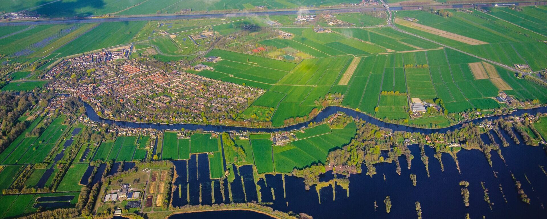
Have you wondered how to connect your local observations to a global perspective? Peder Nelson will present NASA’s new volunteer science opportunity, “Land Cover: Adopt a Pixel.” The project is a part of GLOBE Observer (GO), a volunteer science program that lets you contribute meaningful data to NASA and the science community. The new Land Cover project enables volunteer scientists to photograph – with smartphones – the landscape, identify the kinds of land cover they see, and then match their observations to satellite data. This talk will introduce the audience to the mobile app, show how you can contribute data, how these data are being used by scientists, and how you can use this tool for your own science and monitoring. This summer’s GO on a Trail with the Lewis and Clark National Historic Trail will be highlighted
Presenter Peder Nelson is the land cover science lead for NASA’s citizen science mobile app, GLOBE Observer. Based as a Sr. Research Assistant with Dr. Robert Kennedy’s Environmental Monitoring, Analysis and Process Recognition Lab at Oregon State University (http://emapr.ceoas.oregonstate.edu/), he performs outreach and scientific analysis of satellite-based remote sensing data to map, measure, and monitor the landscapes of Earth. In addition, he is an Instructor in the Geography Program at Oregon State University, teaching undergraduate and graduate level courses in geospatial technology, cartography, and environmental remote sensing.
CBI presents this webinar in partnership with the Society for Conservation GIS (SCGIS). To learn more about this organization, please visit https://www.scgis.org/.