Event Details
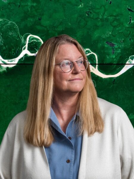
Presenter
CBI Host
Date
Related Resources
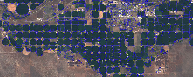
Satellites have been systematically collecting imagery and scientific measurements of our changing planet for more than 40 years, yet until recently this treasure trove of “big data” has not been online and readily available for high-performance data mining. The Google Earth Engine platform (earthengine.google.com) was developed to facilitate “turning pixels to knowledge” at global scale for societal benefit. Earth Engine hosts online a multi-petapixel public data catalog, updating daily, together with tools that support massively-parallel geospatial analysis on datasets such as satellite and aerial imagery, weather and climate.
The co-location of big earth observation data with many thousands of CPUs for processing has created new possibilities for understanding our changing planet. A simple example is the 32-year Landsat-derived timelapse visualization of the entire Earth from 1984-2016 (earthengine.google.com/timelapse). More importantly, scientists and practitioners are now developing new Earth Engine-powered applications which map, measure and monitor global environmental changes in unprecedented detail and near-real time, including global forest change (Science, 2013 & globalforestwatch.org); three decades of global surface water change (Nature, 2016); the global footprint of fisheries (Science, 2018 & globalfishingwatch.org); and global biodiversity mapping (mol.org). Researchers have also developed predictive algorithms which can estimate crop yields to enhance food security (RSE, 2015); as well as operational applications in the field of precision epidemiology which provide high-resolution early warning of potential disease outbreaks such as malaria (www.disarm.io). These methodologies can also map out solutions, such as the global study of critical tiger habitat (Sci Adv 2016) which identified still-intact forests whose conservation could lead to doubling of endangered tiger populations worldwide by 2022.
Presented by Rebecca Moore – at Google
CBI presents this webinar in partnership with the Society for Conservation GIS (SCGIS). To learn more about this organization, please visit https://www.scgis.org/.