Wildfire in the Built Environment
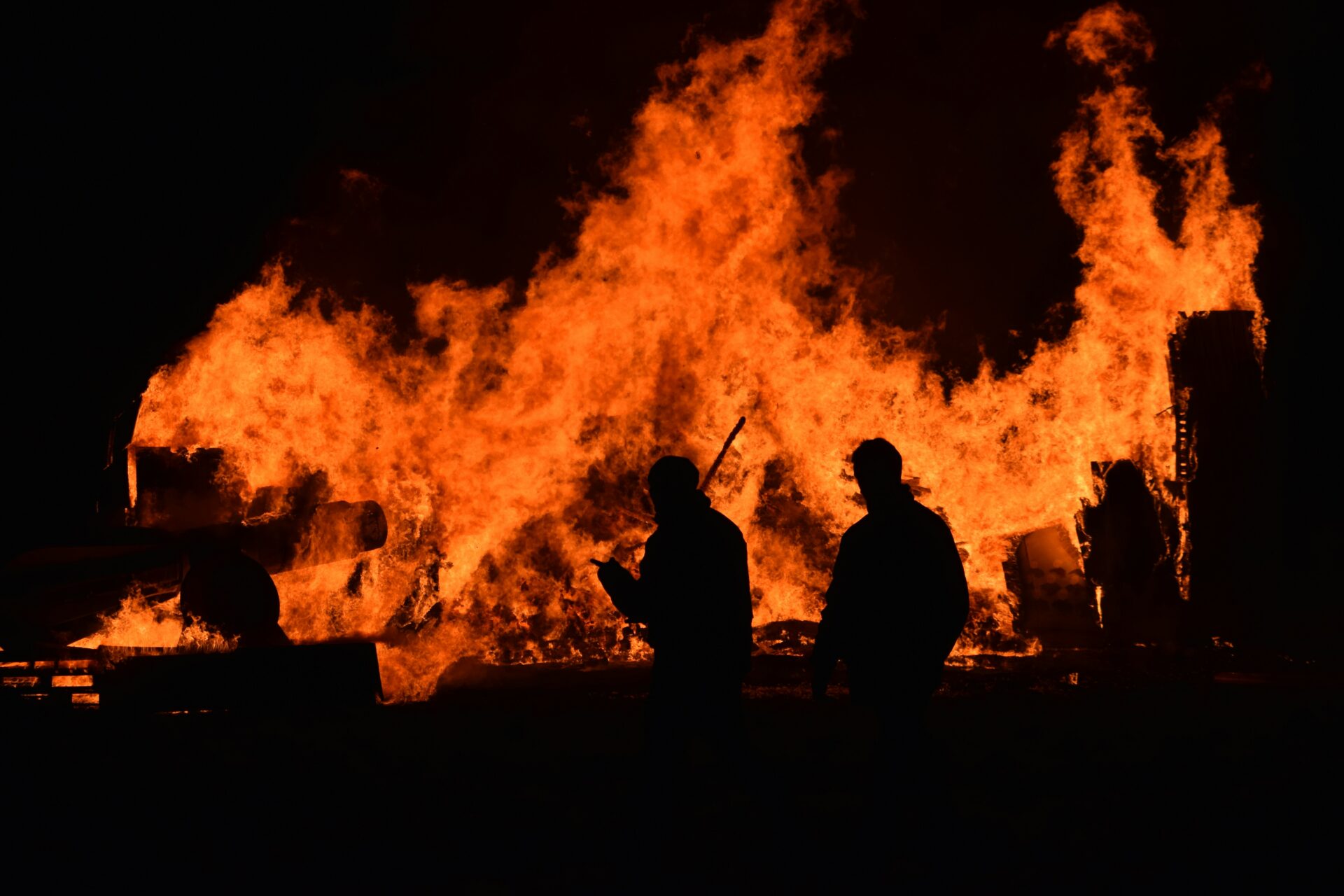
Just days ago, some of the most destructive wildfires in California history have been contained in the Los Angeles area. Given the magnitude of impact, it should be no surprise that in these early days of the post-fire investigations, there has been a multitude of misinformation, confusion, and finger-pointing circulating in the media. Over the past month, many media outlets have turned to CBI Senior Research Ecologist, Dr. Alexandra Syphard, to provide their audiences with her world renowned research-based perspective on these devastating fires. We have summarized some of her salient insights for you in this month’s newsletter.
While climate change is most certainly a contributing factor to the current fires in Southern California, the circumstances that led to these fires are more complex than any single factor. Pre-existing seasonal weather patterns of drought and wind combined with population changes, land usage, vegetation, the built environment, and recreation patterns all contribute to the vulnerability of the region to large-scale, destructive fires.
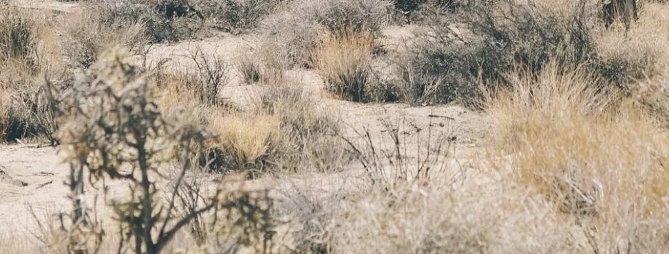
When many of us hear the word “wildfire”, we think of forest fires. However, the majority of Southern California is not a forested ecosystem, and most structures lost to California wildfires are in non-forested ecosystems. California is dominated by chaparral (shrubland) ecosystems, and in Southern California, much of the chaparral landscape has been aggressively invaded by non-native grass species. Chaparral ecosystems have adapted to a fire regime of high intensity fires that occur at low frequency intervals, historically seeing at least 30 years between burns. However, grasslands naturally experience far more frequent fire cycles, often only 1-5 years between fires.
A key component in understanding the fires in Southern California is understanding the dynamic between the native and non-native species in these areas. When they do burn, evergreen shrublands burn at high intensities, and grasses are extraordinarily flammable. When grasses ignite, they act as kindling to the chaparral, which can generate the ember load that carries firebrands kilometers ahead of a fire front (even over 10-lane freeways) during extreme wind conditions. Chaparral will recover well after infrequent, high-intensity wildfires. However, non-native grasses colonize those areas quickly. If chaparral cannot recover to overtop them, the grasses persist, adding more high-flammability material to the ecosystem.
Many chaparral species will struggle to recover when the interval between fires shortens, because the dormant, fire-cued seed bank can take up to 20 years to replenish. If fires recur before then, there will be insufficient seed stock, ultimately preventing regeneration and paving the way for even more non-native grasses to invade.
Southern California experienced a host of climatic conditions leading to the fires that erupted on January 7th, but none of these conditions are unprecedented and most are common to the region.
First, there are the high speeds of the Santa Ana winds, spreading embers for up to 2 miles, which expedited the growth of the fires, making them extremely challenging to fight. Santa Ana winds are a known aspect of the Southern California climate, with winds picking up regularly every Fall and Winter in the region (gusts commonly reaching 60 mph).
Second, we have heard so much about the drought in the area, yet Southern California’s climate regularly experiences about 6 months of dry weather each year. The La Niña-driven drought in 2024/25 leading up to these fire events was preceded by a very wet El Niño winter weather pattern in 2023/24, meaning there was a large amount of herbaceous vegetation growth that then became very dry during the drought, creating a bulk of abundant flashy fuels, ripe for fire. Again, the El Niño/La Niña hydrologic cycles are to be expected, with an average cycle of 2-7 years between each.
Finally, because lightning storms are very rare in the region, we know that virtually 100% of fires in Southern California are human-caused ignitions, whether that is from a faulty power line, a dropped cigarette butt or sparks from machinery. The more humans, the more potential for ignition- and California’s population has almost doubled in the past 50 years. In other words, while we would like to think that Southern California has experienced a relatively rare “perfect storm” of conditions leading to these devastating fires, in actuality, these conditions co-occur at a reasonably frequent interval. The element of these fires that is relatively rare is the fact that the ignition occurred close to a large metropolitan region, while the region was experiencing severe wind conditions.
Still, it is shocking for most of us to see this scale of fire in a large urban area. We tend to feel safe from wildfires in the city, and in most cases, we are. However, every urban region has edges in which the built environment abuts undeveloped or “wild” land. These wildland-urban interface (WUI) areas represent about one-third of all US housing stock, or about 44 million households.
So, what does science tell us we can do to increase wildfire resiliency for the ⅓ of Southern California households that are in the wildland urban interface?
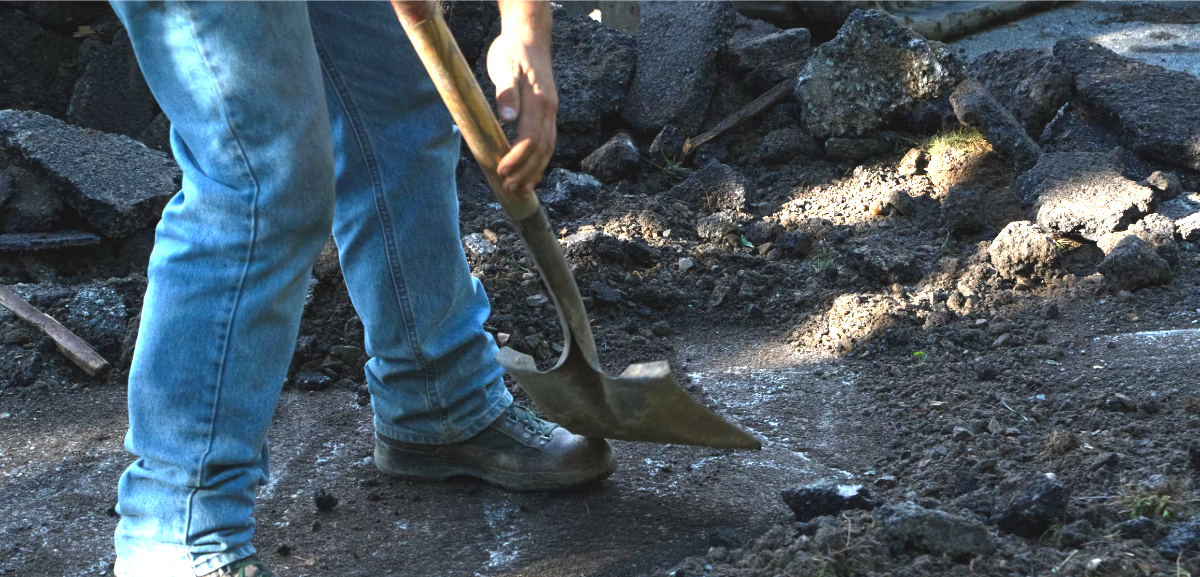
Defensible Space On and Near Your Property
- The space within 5 feet of your home should be regularly maintained, kept clear of dry vegetation and debris, and ideally hardscaped with fire-resistant materials such as gravel, concrete, brick, etc…
- The zone between 5 and 30 feet of your home should be “lean, clean and green”– regularly maintained, pruned and irrigated during periods of drought to ensure the vegetation does not become dried out.
- Between 30 and 100 feet of your home, focus on removal of dead plant material and maintain spacing between plantings. This zone is the safest location for siting your outbuildings and fuel tanks.
- If your home is on a steep slope, prioritize downslope vegetation management
- If you are in a dense neighborhood in which homes are close together, pay special attention to vegetation management between homes, to limit the risk of fire spreading from home to home.
- Do not leave wood or brush piles near your home
- Consider landscaping your property with native plants, as they tend to be less flammable than many non-native landscaping plants, especially grasses.
- Work with members of your community to help neighbors that may not have the means or ability to create their own defensible space. The more your entire neighborhood is defensible, the safer your home will be.
Home Hardening
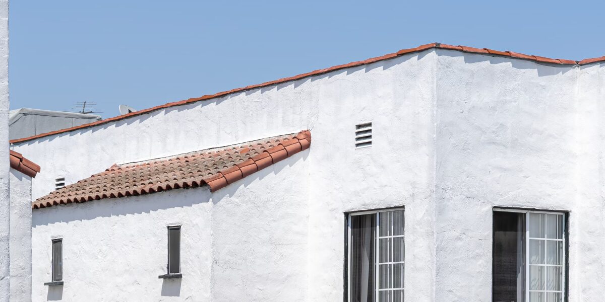
- It is ideal to use Class A roofing materials (clay, cement or fiberglass-based) instead of wood shake or shingled roofs.
- Keep your roof and gutters clean of plant debris that can dry out in periods of drought.
- If you have open-eaves on your home, consider retrofitting to create soffited eaves with vents.
- Cover all your attic and basement/crawl space vents with ⅛ inch non-combustible metal mesh screens to prevent embers from entering your home.
- Choose multi-paned windows with tempered glass when you upgrade your windows to limit the risk of glass breakage caused by radiant heat.
- Consider replacing decking with non-combustible materials such as plastic composite decking or fire-retardant-treated wood deck boards.
- Cover your chimney outlet with ⅜ inch screening to prevent embers from leaving your chimney, and keep your flue closed during fire season to prevent embers from entering the home via your chimney.
Advocacy & Zoning
- A major component of creating fire-safe neighborhoods has to do with the zoning of the area. Neighborhood “islands” that are not contiguous with existing developed areas are at higher risk due to more wildland-urban interface exposure. Infill developments tend to be significantly safer. Similarly, neighborhoods that are planned with less flammable landscaping or features between them and the wildland tend to be safer from fire. Features such as golf courses, tennis courts, solar arrays (with well-maintained vegetation) can add to the defensible space for an entire neighborhood. Zoning at the neighborhood/city level (infill, greenspaces like golf courses between wildland and developments).
For more detailed information on how you can better protect your home, we recommend you refer to the Sustainable Defensible Space website.
And- if you’ve like to hear more about this, you can listen to Dr. Syphard’s excellent interview on the Golden State Naturalist podcast episode from Jan. 16th.