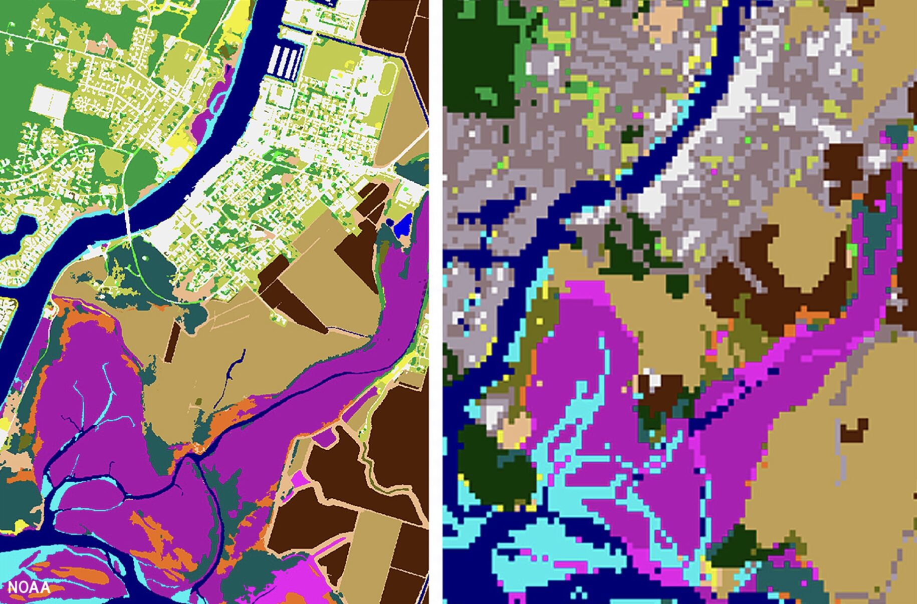
The Takeaway: High-resolution land cover data is now available through NOAA’s Digital Coast. This data provides communities with the foundational data needed to assess coastal resources, analyze land use, prepare for disaster risks, and adapt to a changing climate.
Improving our Coasts with High-Resolution Land Cover Data
This National Oceanic and Atmospheric Administration article explains how crucial high-resolution land data is for flood inundation modeling and risk assessment, stormwater management and water quality protection, mitigating urban heat risks and promoting tree equity, and wetland monitoring and restoration.
Higher-resolution land cover data will not only lead to new data users but will increase the likelihood of accuracy among assessments, management, protection, and restoration.
Land cover is a foundational data set that provides valuable information for a range of applications, including natural resource management, land use planning, disaster risk reduction, and climate adaptation. By comparing one year to another, people also use the information to document how the landscape has changed over time.
Improving our Coasts with High-Resolution Land Cover Data