Public Land Abuses Keep Making Headlines
The assault on federal public lands and wild places is unprecedented. Below is a roundup of some of the major stories so far this year—it has been difficult to keep up.
Border Wall in Big Bend National Park
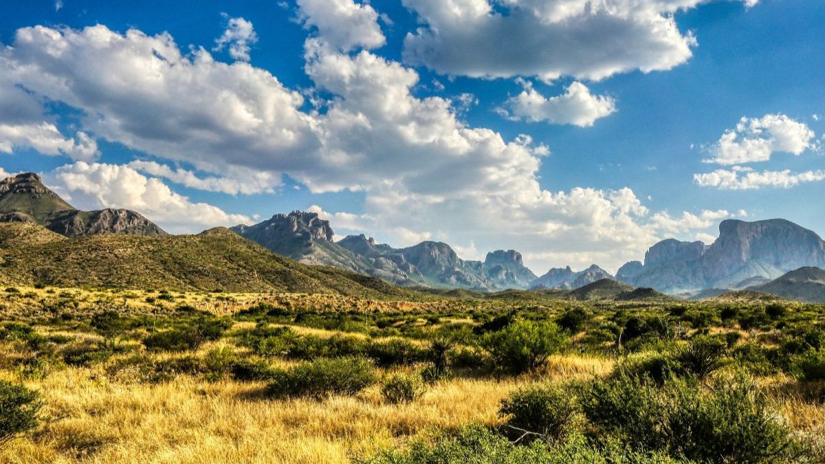
In early August 2026, bulldozers began ripping through native vegetation and sensitive ecosystems near one of most iconic and ecologically delicate landscapes. The administration waived more than 30 environmental and historic-preservation laws and authorized a $1.7 billion project to construct 17 miles of vehicle barriers, pave patrol roads, and install massive surveillance infrastructure.
Status: The project was officially paused on August 17, 2026, following bipartisan opposition from a large and diverse coalition of stakeholders.
Bears Ears and Grand Staircase-Escalante
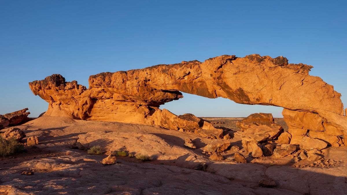
The administration issued proclamations dramatically shrinking Utah’s Bears Ears National Monument and Grand Staircase-Escalante National Monument aggressively downsizing the monuments by over 90 percent of their original sizes, cutting nearly 3 million combined acres that are now open to mining and development.
Status: The new designations formally take effect September 11, although private companies have already begun staking mining claims. Federal crews have removed gateway monument signs, and the Tribal Co-Management executive body has been dissolved. Legal action is pending and is expected to eventually reach the Supreme Court.
National Forest Roadless Rule
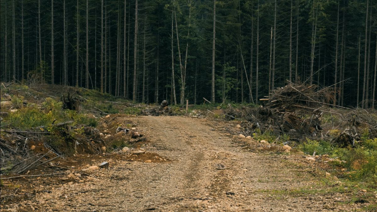
The administration has officially initiated a final administrative push to dismantle the 25-year-old conservation National Forest Roadless Rule, stripping protections from roughly 59 million acres of intact national forests lands (including the Tongass National Forest) to permit logging, roads, and industrial activity.
Status: A 30-day public comment window is currently open, running from August 18 through midnight on September 21, 2026. This is the final opportunity for the public to weigh in via Regulations.gov before the rescission can be finalized.
Oil and Gas Leases in the Arctic National Wildlife Refuge
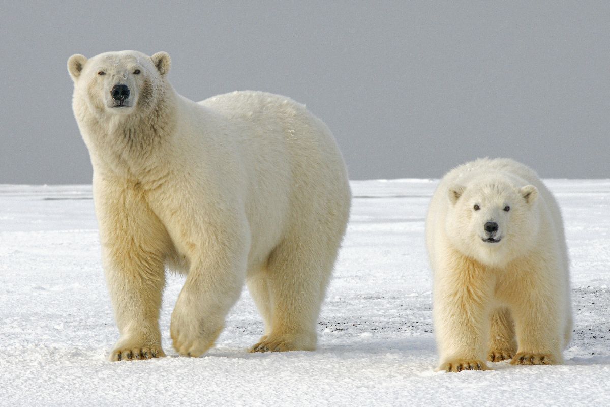
The administration reinstated canceled oil and gas leases in the Arctic National Wildlife Refuge and advanced plans to remove conservation safeguards from 13 million acres of Alaska’s Western Arctic.
Status: New leasing in the refuge has begun, but so far has had limited industry interest. Legal challenges are underway by a broad coalition of indigenous and conservation organizations.
Boundary Waters Canoe Area Wilderness in Minnesota
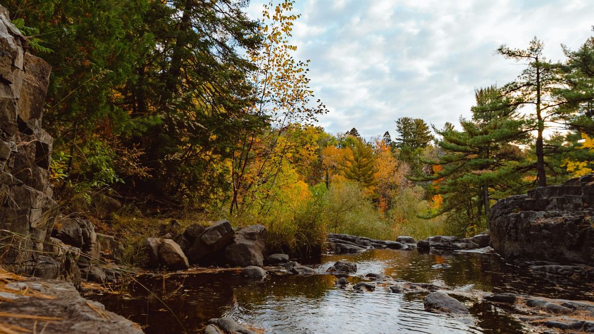
On April 27, 2026, President Trump signed H.J. Res. 140 into law. Congress used the Congressional Review Act (CRA) in an unprecedented 50-49 Senate vote to permanently erase a 20-year mining moratorium covering 225,000 acres of federal lands in the Superior National Forest. The bill effectively allows copper-nickel mining proposals (primarily by Twin Metals Minnesota which is wholly owned by Antofagasta, a large Chilean mining conglomerate) to move forward in the wilderness headwaters.
Status: In a major escalation on August 18, 2026, Minnesota Governor Tim Walz issued a sweeping Executive Order to checkmate the federal rollback. While the federal land is technically open, the state-level freeze has ground corporate mining ambitions to a halt for the foreseeable future.
Connecticut Statewide Wildlife Connectivity
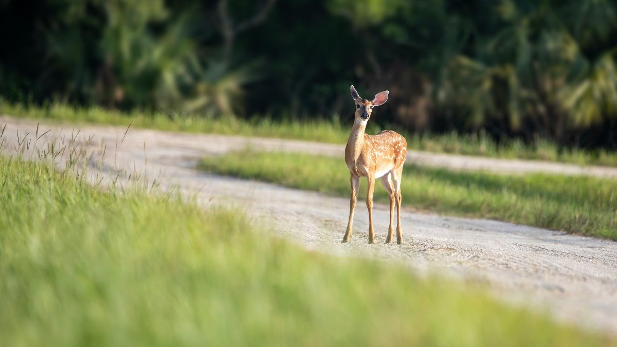
Not every story is about the loss of protections. Across the country, wildlife is increasingly forced to navigate a fragmented landscape of roads and development. As many as 2 million wildlife-vehicle collisions involving large mammals occur in the United States each year, approximately 70% involving deer. Tens of millions of medium-sized mammals and hundreds of millions of birds are also killed in collisions. According to the U.S. Fish and Wildlife Service, vehicle collisions consistently rank among the top five causes of bird mortality in the nation.
Working closely with The Nature Conservancy, the Connecticut Department of Transportation, and the Connecticut Department of Energy and Environmental Protection, CBI will be conducting a statewide wildlife connectivity and vehicle-risk assessment.
The goal is to identify locations where targeted interventions can significantly reduce wildlife-vehicle collisions, lower mortality across a wide range of species, and prevent crashes that result in property damage, injuries, and deaths.
This work offers an important reminder: protecting wildlife is not only about preserving remote wilderness. It also means reconnecting the landscapes between us and creating safer passage for wildlife across the places where people and nature increasingly overlap.
QGIS Users Wanted: Help Beta Test New Data Basin Feature
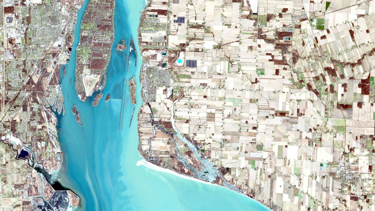
CBI is currently seeking QGIS users to participate as beta testers for a highly requested feature from the Data Basin user community.
Data Basin now supports importing a variety of QGIS vector dataset styles, including simple fills, graduated colors, and categorized styles. Supported data formats include Shapefile, File Geodatabase, GeoJSON, and GeoPackage.
Next, CBI’s programming team is working to expand support for additional vector styles and raster datasets. Once these enhancements are stable, we will turn our attention to enabling direct data downloads in QGIS format.
If you use QGIS and would be interested in helping us test these new capabilities, we’d love to hear from you. Please contact Nik Stevenson-Molnar at nik.molnar@consbio.org.