CBI is collaborating with the Farm Service Agency within U.S. Department of Agriculture to more accurately map forest biometrics for tree-focused Conservation Reserve Program (CRP) lands in Mississippi.
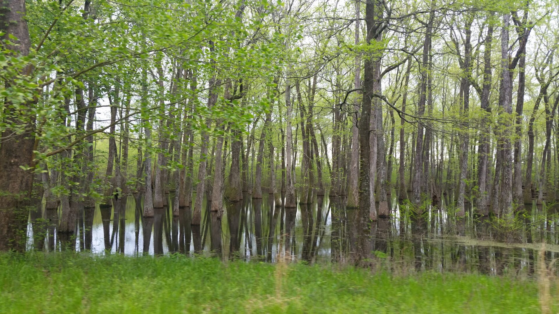
CBI is collaborating with the Farm Service Agency within U.S. Department of Agriculture to more accurately map forest biometrics for tree-focused Conservation Reserve Program (CRP) lands in Mississippi. These private lands provide important ecological benefits such as purifying water, reducing downstream flooding, providing valuable wildlife habitat, and sequestering carbon. CBI initially developed predictive maps of tree height, tree density, biomass, basal area, and forest type using Random Forest machine learning models. In the latest version of the modeling, CBI researchers implemented new methods for processing Sentinel-1 imagery on the cloud computing platform Google Earth Engine (GEE); updated model code; and incorporated preliminary data products derived from NASA’s spaceborne LiDAR mission – the Global Ecosystem Dynamics Investigation (GEDI). The overall accuracy of the forest characteristics modeled for the entire state ranged from 57% to 91% with biomass showing the greatest improvement.
Read more in the related Technical Report:
Mississippi CRP Forest Remote Sensing with Preliminary Global Ecosystem and Dynamics (GEDI) Mission Derived Data Products