Software Details
Related Posts
CBI Contact

CBI Authors + Contributors

Landscape-scale Prioritizing and Planning to Guide Management Actions
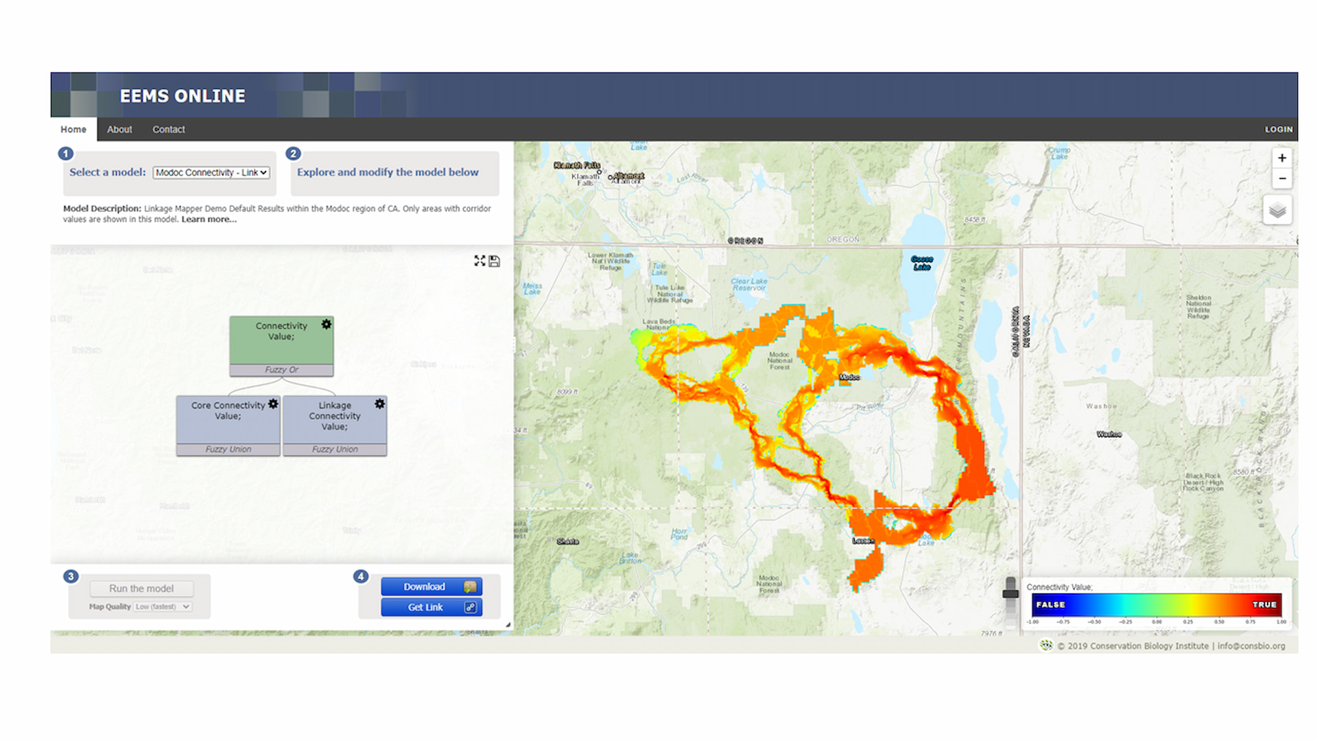
EEMS Online is a web-based mapping and modeling system designed to allow the user to explore, modify, and run models constructed within the Environmental Evaluation Modeling System (EEMS). You can also order a customized version of EEMS Online for your region, topic, and organization that can either be available to the publicly or reserved for private organizational use. Visit California Offshore Wind Energy Modeling Platform for an example.