Preforming an enduring features conservation gap analysis for a pilot region within the U.S.
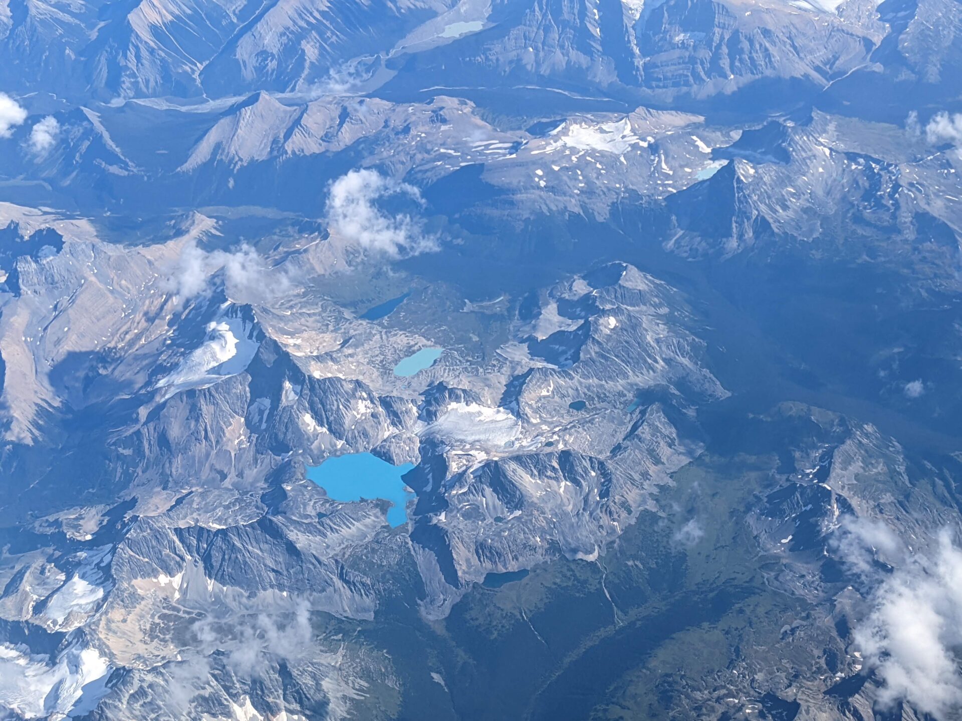
The primary objective of this study was to perform an enduring features conservation gap analysis for a pilot region within the U.S. (northern Rocky Mountains) that applied the same methodology as WWF Canada, resulting in a consistent crossboundary conservation assessment for the region for the first time. The Rocky Mountains were chosen over other crossboundary areas because this region is under increasing pressure from human enterprise on both sides of the border, yet it still maintains a full compliment of species including large carnivores. The conservation actions taken over the next decade will largely determine whether this portion of the Rocky Mountains continues to function in a way that supports the many species and natural processes which have made it world famous: there is much at stake.
The greater study area as taken from the Carnivore Strategy included the Rocky Mountains in BC and Alberta and the U.S. northern Rocky Mountains (approximately 690,000 square kilometers). This GIS-based research project concentrated mostly on the U.S. side of the border, as we attempted to duplicate the Canadian methodology on similar, but different, electronic datasets. The region was first subdivided into 50 ecosections (or natural regions), 32 of which were exclusively contained within the U.S. or straddled the Canada – U.S. border. Enduring features were then mapped and representation evaluated for each of the 32 ecosections. Finally, these results were added to the Canadian work for regional summarization. In addition to the enduring features gap analysis, enhancements to the methodology were examined for the U.S. portion of the study area using larger scale datasets. A physical units mapping procedure was developed and examples compared to the coarser scale enduring features analysis. Finally, a number of separate analyses (e.g., road density analysis) were performed for the U.S. portion of the study area that can now be used to support continuing conservation research in the region.
Project Details
Location
Date
Services Provided

Conservation Planning & Management

Spatial Analysis & Mapping
