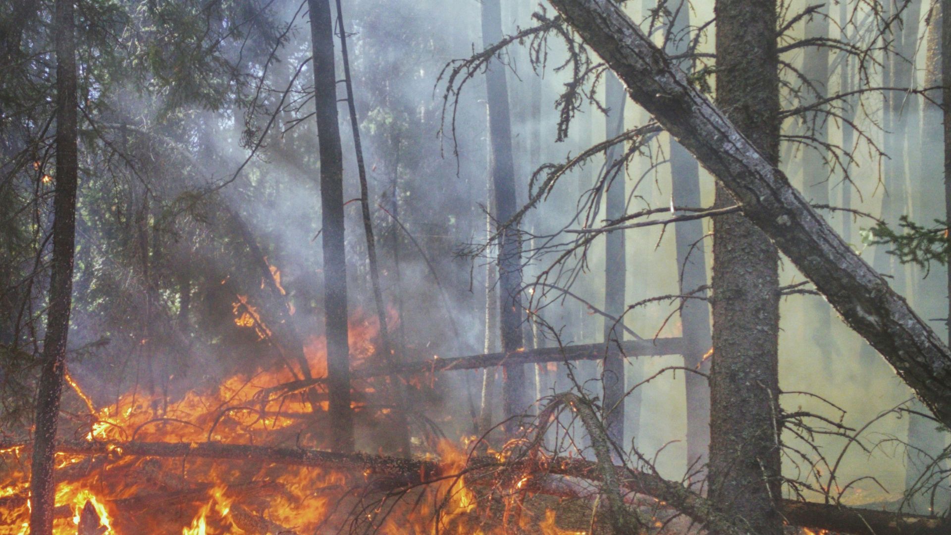
Fire simulation studies that use models such as FARSITE often assume that ignition locations are distributed randomly, because spatially explicit information about actual ignition locations are difficult to obtain. However, many studies show that the spatial distribution of ignition locations, whether humancaused or natural, is non-random. Thus, predictions from fire simulations based on random ignitions may be unrealistic. However, the extent to which the assumption of ignition location affects the predictions of fire simulation models has never been systematically explored. Our goal was to assess the difference in fire simulations that are based on random versus non-random ignition location patterns. We conducted four sets of 6000 FARSITE simulations for the Santa Monica Mountains in California to quantify the influence of random and non-random ignition locations and normal and extreme weather conditions on fire size distributions and spatial patterns of burn probability. Under extreme weather conditions, fires were significantly larger for non-random ignitions compared to random ignitions (mean area of 344.5 ha and 230.1 ha, respectively), but burn probability maps were highly correlated (r = 0.83). Under normal weather, random ignitions produced significantly larger fires than non-random ignitions (17.5 ha and 13.3 ha, respectively), and the spatial correlations between burn probability maps were not high (r = 0.54), though the difference in the average burn probability was small. The results of the study suggest that the location of ignitions used in fire simulation models may substantially influence the spatial predictions of fire spread patterns. However, the spatial bias introduced by using a random ignition location model may be minimized if the fire simulations are conducted under extreme weather conditions when fire spread is greatest.
Effects of ignition location models on the burn patterns of simulated wildfires


