By disrupting wildfire regimes, climate and land use change transform ecosystems, alter carbon budgets, and drive socio-economic impacts in California. We propose to quantify how projected peri-urban growth in the wildland urban interface, climate change, and local management actions influence wildfire activity and downstream effects on vegetation transitions, carbon release, biodiversity, and vulnerable human communities.
We will model wildfire risk as a function of a limited set of stakeholder-guided, realistic future scenarios, using the LANDIS-II simulation model. Past studies have shown the importance of human ignition location and timing on wildfire activity in Southern California, a mechanism we will explore using different land use change scenarios.
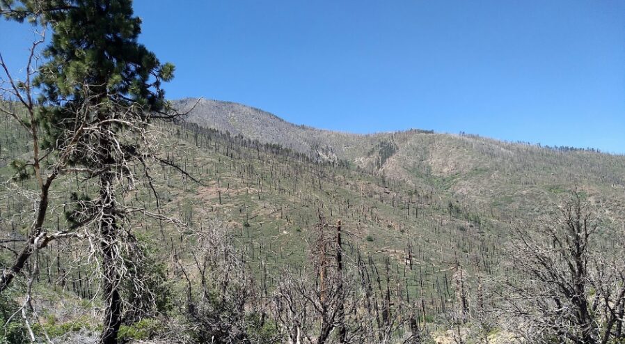
We will also model and analyze the potential influence of increasing atmospheric aridity on fire size and severity in forests and compare these effects to adjacent shrubland plant communities.
Taken together, climate, land use, and other environmental variables can lead to fire-driven vegetation type conversion, which can influence carbon sequestration, biodiversity, and even future fire risk to human communities.
Finally, we will explicitly evaluate how different modeled management actions influence wildfire, plant succession, and carbon sequestration. The resulting maps and spatial products will help managers prioritize locations for conservation and management actions. Overlaying maps of vulnerable human communities and biodiversity hotspots with future wildfire change and downstream impacts can better define locations for priority action to facilitate co-benefits to human and natural resources. This research will contribute to scientific publications and be directly relevant to managers, including the Southern California Montane Forests Project.
Project Details
Partner
Location
Date
Services Provided

Conservation Planning & Management

Data Basin

Scientific Research & Modeling

Spatial Analysis & Mapping