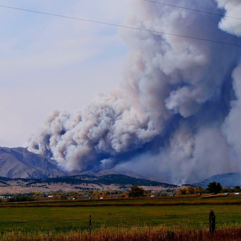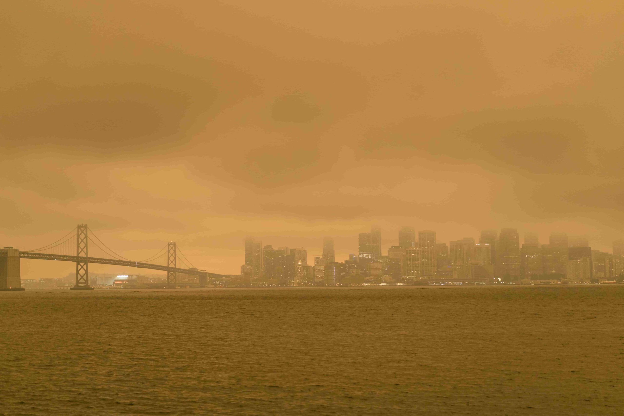
Recent increases in destructive wildfires are driving a need for empirical research documenting factors that contribute to structure loss. Existing studies show that fire risk is complex and varies geographically, and the role of vegetation has been especially difficult to quantify. Here, we evaluated the relative importance of vegetation cover at local (measured through the Normalized Difference Vegetation Index) and landscape (as measured through the Wildland–Urban Interface) scales in explaining structure loss from 2013 to 2018 in California—statewide and divided across three regions. Generally, the pattern of housing relative to vegetation better explained structure loss than local-scale vegetation amount, but the results varied regionally. This is likely because exposure to fire is a necessary first condition for structure survival, and sensitivity is only relevant once the fire reaches there. The relative importance of other factors such as long-term climatic variability, distance to powerlines, and elevation also varied among regions. These suggest that effective fire risk reduction strategies may need to account for multiple factors at multiple scales. The geographical variability in results also reinforces the notion that “one size does not fit all”. Local-scale empirical research on specific vegetation characteristics relative to structure loss is needed to inform the most effective customized plan.
Publication Details