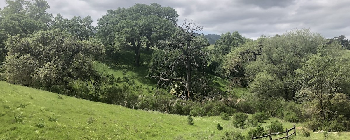
Santa Barbara Botanical Garden and CBI partner to assess fire-damaged watersheds and prioritize management actions.
Wildfires are becoming larger and more severe, causing negative impacts on our natural ecosystems. These post-fire impacts include invasions of exotic plants and an increase in the risk of mudslides, erosion, and siltation of important stream habitat. It is a daunting challenge for resource managers to determine where restoration can do the most good.
In this pilot project, CBI worked with the Santa Barbara Botanic Garden to develop and test online software coupled with a citizen-science process that helps resource managers identify the best candidate locations for restoration in the aftermath of the Thomas and Whittier Fires in Santa Barbara County.
Spatial data about the landscape are combined in a model that provides a preliminary prioritization map, which is then refined using field observations of professionals and community scientists in the Spring following a fire. The sites can then be visited in person to make the final decision about where to focus restoration efforts to maximize the return on the investment.
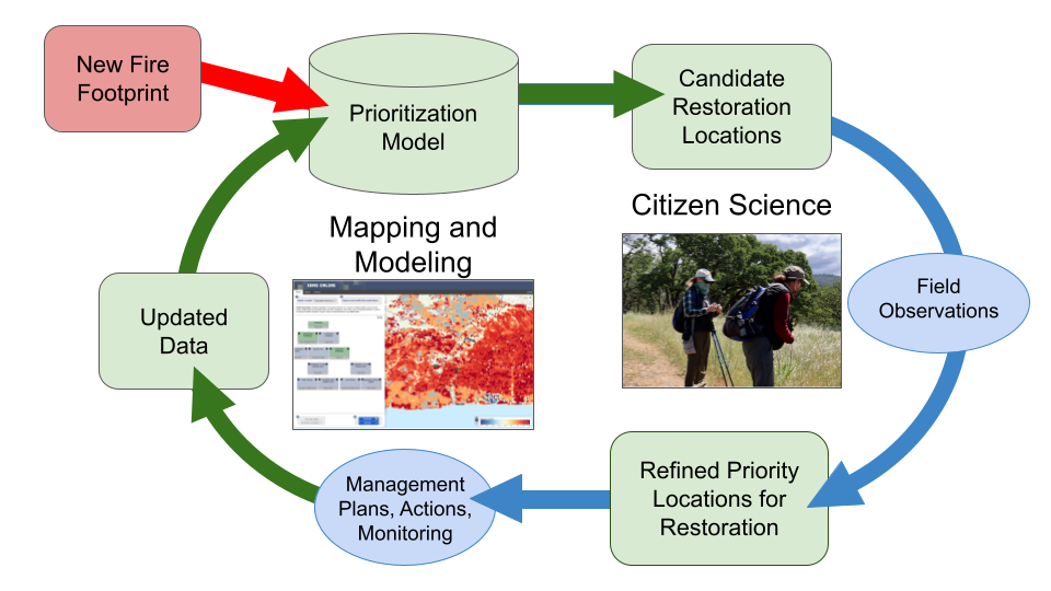
Figure 1. A flow chart displaying the steps involved in prioritizing areas for post-fire restoration
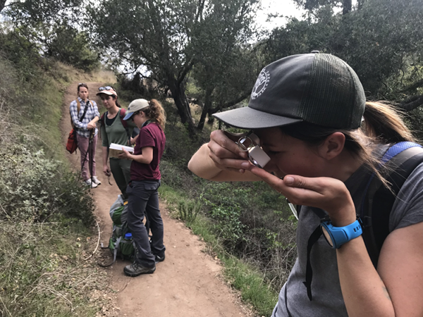
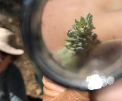
The community scientists used iNaturalist to record their observations and assist in identifications. You can see the more than 5,000 observations collected so far on iNaturalist here!
How You Can Learn More :
Watch this short video about the project.
View the model with prioritized restoration locations here.
Explore the restoration prioritization map together with other important data layers and photographs in Data Basin.
Read more technical details in this article.
Email john.gallo@consbio.org to be notified of community science opportunities when they arise.
Project Details
Location
Date
Services Provided

Conservation Planning & Management

Data Basin

Scientific Research & Modeling

Spatial Analysis & Mapping