CBI is producing a spatial decision support system for the Sonoma County Agricultural Preservation and Open Space District to guide land conservation strategies.
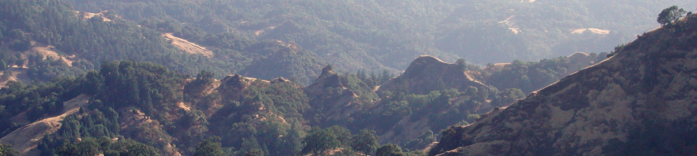
CBI is producing a spatial decision support system (SDSS) for the Sonoma County Agricultural Preservation and Open Space District (“District”). The District works to conserve habitat, watersheds, and agriculture for people and wildlife in Sonoma County, CA, and is pursuing the development of an SDSS to help guide its land conservation strategies. First, the SDSS will support the development of a ten-year, comprehensive county-wide conservation plan through analysis of multiple conservation themes. It will also assist parcel-scale decisions relating to individual conservation easement projects. In addition, it will produce county-wide outputs (e.g., high priority habitat areas) that can be integrated with other open space planning and scenario-building processes (e.g., the County General Plan). Finally, the SDSS framework—its hierarchical data integration architecture—and supporting data will be published online as an interactive, Web-based program so that the public can explore and learn about the District’s prioritization methods and priority conservation areas.
On the technical end, the Sonoma County SDSS will use an expansion of CBI’s Environmental Evaluation Modeling System (EEMS) along with a new habitat representation algorithm and an expansion of the Linkage Mapper connectivity model (from circuitscape.org). Please contact John Gallo with any questions or comments.
Project Details
Location
Date
Services Provided

Conservation Software Solutions

Spatial Analysis & Mapping