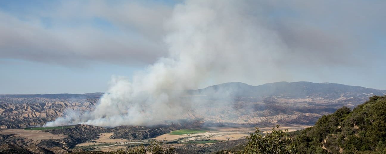
The severity and frequency of wildfires have increased throughout the Pacific Northwest in recent decades, costing lives and destroying large amounts of valuable resources and assets. This trend is predicted to persist because of climate change and the associated increased fire risk caused by prolonged droughts in combination with changes in land cover and land use, including rapid increases in wildland urban interface areas. The threat of benzene and other contaminants in drinking water from water distribution systems after wildfires is a relatively recently discovered problem that gained attention because of the significant health hazards that high levels of benzene in drinking water pose for humans. Driving processes leading to post-fire benzene contamination in water distribution systems are largely unknown. Currently, no deterministic process models exist to predict the risk of exceeded benzene levels in water distribution systems after wildfires. To address the lack of predictive models, we developed and tested an approach based on neural network models to spatially predict the conditional probabilities of exceeding maximum contaminant levels for benzene after wildfires. The Bayesian regularized neural networks were trained using high-resolution data layers comprising topography, soil properties, landcover, vegetation, meteorological parameters, fuel load, and infrastructure data for two wildland urban interface areas in northern California. The generalized model ensemble encompassing data from both communities exhibits an accuracy of 83% to 88% in spatially predicting the post-fire exceedance of benzene levels, offering a planning tool for emergency response and future risk mitigation efforts.\r\
Predicting conditional maximum contaminant level exceedance probabilities for drinking water after wildfires with Bayesian regularized network ensembles


