The United States Department of Agriculture’s Conservation Reserve Program (CRP) is a federally
funded conservation program, whose long-term goal is to re-establish valuable land cover to improve
water quality, prevent soil erosion, improve carbon sequestration, and reduce loss of wildlife habitat.
This Farm Service Agency-administered program works with farmers and landowners to implement
conservation management practices on enrolled lands, with paid contracts ranging from 10 to 15
years in length.
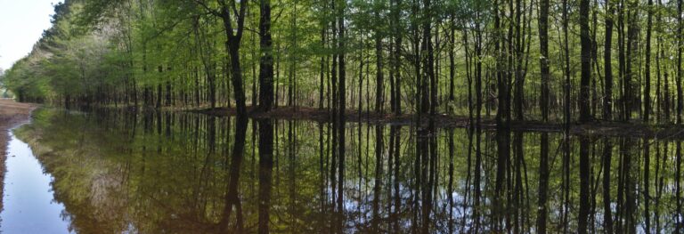
The USDA’s CRP has successfully improved the conservation value of private lands; however, the
program currently lacks spatially explicit information on land cover and vegetation within
CRP-enrolled tracts. Currently, there are over 46,000 CRP contracts in the state of Mississippi alone,
making on-the-ground data collection difficult due to the time, resources, and expertise necessary to
conduct field vegetation surveys over such extensive holdings. In partnership with the USDA FSA
program, the Conservation Biology Institute (CBI) piloted a predictive modeling approach for forested
lands in Mississippi participating in the CRP, employing the nuanced relationships between satellite
imagery indices, enviro-climatic data, and existing georeferenced vegetation survey data (from
USDA’s Forest Inventory Assessment) to assess the potential for remote sensing technology to
enhance CRP program outcomes.
In this pilot project, CBI initially developed predictive maps of tree height, tree density, biomass, basal
area, and forest type using Random Forest machine learning models. Numerous satellite-derived
indices from the European Space Agency’s (ESA) Sentinel-1 and Sentinel-2 sensors, in addition to
soils and topography data, were used as predictor inputs. We then refined these predictive models,
focusing primarily on biomass improvements, by implementing new methods for processing
Sentinel-1 imagery on the cloud computing platform Google Earth Engine (GEE); significantly updating
model code; and incorporating preliminary data products derived from NASA’s spaceborne LiDAR
mission – the Global Ecosystem Dynamics Investigation (GEDI). We refined the GEDI LiDAR-derived
data products and included them in our models, and overall accuracy for the four forest regression
models ranged from 57% to 91%. The Biomass model saw the greatest improvement in accuracy with
the R2 increasing by 8%, from 49% to 57%. The Basal Area and Tree Height models both had minor
1-2% increases in accuracy, while the Tree Density model had no improvement. The Forest Type
classification model had a negligible improvement in overall accuracy, however, the
Elm/Ash/Cottonwood class increased in accuracy by ~6%, from 64% to 70%.
Report Details