The ORESA project’s main goal is to assess data, information, and stakeholder perspectives to create transparent, trusted, and accurate information to support renewable energy development in Oregon without specific recommendations or endorsements. The Natural Resources, Environment and Development Opportunities and Constraints Assessment component of the project is the focus of this report and included six main activities: (1) created a stakeholder registry; (2) created and analyzed an online survey; (3) conducted numerous one-on-one interviews; (4) facilitated a military stakeholder roundtable webinar discussion; (5) collected relevant spatial data and managed stakeholder review; and (6) provided input for online tool development.
The stakeholder registry was populated with 396 individuals each assigned to one of ten sectors who were then invited to take an online survey, which was designed to obtain information regarding renewable energy interest, perceived opportunities and constraints, spatial data interest, and preferences for specific online tool functionality – 82 responded. Survey responses were followed-up with one-on-one phone interviews with individuals from each sector in order to obtain more in-depth feedback. In addition, a special group roundtable webinar discussion was held focusing on stakeholder military interaction.
Main findings from stakeholder feedback include:
- Renewable energy planning in Oregon is being met with considerable excitement and optimism; however, some anxiety and fear persists.
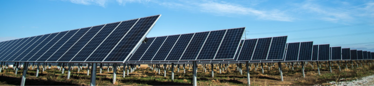
- Solar, onshore wind, and offshore wind were reported as the top three renewable energy types of interest.
- An overwhelming majority of stakeholders felt a comprehensive approach to energy planning in Oregon is needed – one that includes all renewable energy types at all scales.
- Effective and adaptive renewable energy planning and siting requires better collaboration and communication between all parties. Early and regular communication was an overriding theme.
- Support for ongoing public participation in the planning process was highly desirable to most stakeholders.
- Developing and maintaining high quality data and information is needed for effective planning, project implementation, and monitoring.
- Data and process transparency is extremely important in streamlining renewable energy development at reduced costs.
- There is currently a need for a centralized, standardized, editable database of tower locations for military and civilian air safety in Oregon.
- A state-wide or region-wide least-conflict planning process was suggested by stakeholders.
Over 650 spatial datasets were collected, 570 of which were curated into a private working group in Data Basin (http://databasin.org) so all stakeholders could easily review the data and provide specific feedback. A series of Data Basin maps (each containing 15-20 individual datasets) were composed with the more valuable datasets and shared with stakeholders. These maps were presented in a series of Zoom webinars to registered stakeholders. Six webinars were conducted focusing on the different iv September 2021 Natural Resources, Environment, and Development Opportunities and Constraints regions of the state and specific content. Maps remained available for stakeholders to review and comment. A total of 189 individuals attended the webinars; total number of unique attendees was 140.
Comments were assembled and adjustments made to the final spatial data catalog, which contained the data delivered to the ORESA team. Discussion about data gaps, updates, and processing needs was also provided for selected topics. The most important themes to stakeholders included data pertaining to: sensitive habitat and species, infrastructure, cultural resources, energy resources, and conservation areas of interest. Top ranking online tool functions identified by stakeholders included: guided workflow; the ability to download data; printing of individual maps and PDF reports; and thematic layer exploration. An additional set of project take-aways is provided at the end of the report.
Report Details