
Software Details
Related Posts
CBI Contact

CBI Authors + Contributors


The Wildfire Resilience Planner: Strategic Planning at the Landscape Scale
Sonoma Water, Conservation Biology Institute (CBI), Ag Innovations, Pepperwood Preserve, Tukman Geospatial, Digital Mapping Solutions have created the Sonoma County Wildfire Resilience Planner, an online decision support tool for prioritizing locations to reduce wildfire fuels to protect lives and property, community infrastructure, ecosystem services, and biodiversity. The tool encourages collaborative planning of projects on public and private land, helping to leverage individual efforts for a unified and strategic approach to fuels management. The Wildfire Resilience Planner is available for use at https://sonoma.resilienceplanner.org/. For more information or to provide feedback, please contact Molly Oshun, Molly.Oshun@scwa.ca.gov or Deanne DiPietro, deanne.dipietro@consbio.org.
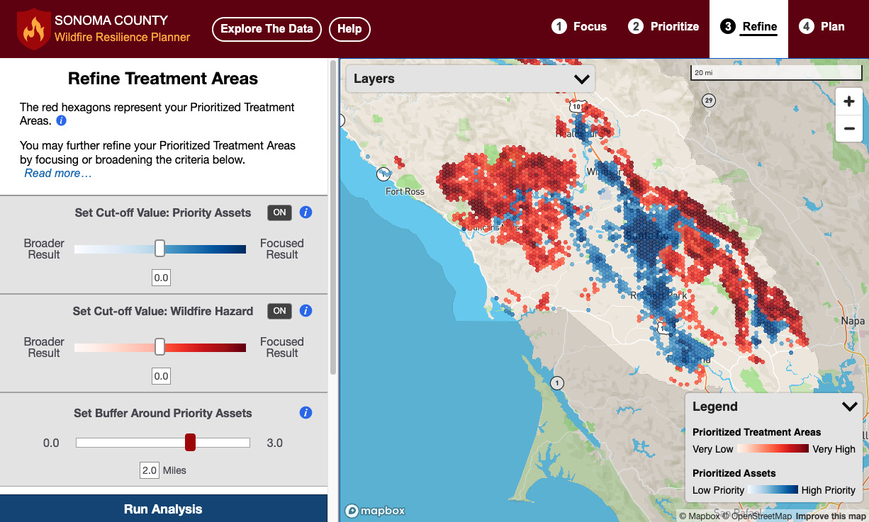
Above: the Sonoma County Wildfire Resilience Planner provides the user with the spatial data and analysis tools to identify high-priority locations for wildland fuels management.