Site Check
A Tool to Identify CEQA Streamlining Options in California

CEQA (California Environmental Quality Act) became a state law in 1970 and was established to inform decision-makers and the public about the potential environmental impacts of proposed projects and to reduce impacts from approved projects as much as possible. Since its creation, numerous pieces of legislation have been created to help implement the act, which at times has slowed down development at a time when California is experiencing an ongoing severe housing shortage.
The Main Story
To help accelerate housing while simultaneously upholding CEQA environmental safeguards, the Governor’s Office of Planning and Research (OPR) in coordination with the Department of Housing and Community Development contracted with CBI to build an online tool that could help streamline the process. The tool was developed in close collaboration with OPR and is based on public input from partners through interviews, presentations, and workshops. The map-based tool called Site Check is innovative in several ways, but at its core it allows users to see if selected parcels may qualify for an existing streamlining option for housing development. The free tool allows users to map various CEQA definitions and filter parcels based on planning, transportation, and environmental criteria. Site Check is a good first step for developers and public agencies considering how CEQA may apply to a potential housing project.
OPR staff will hold a webinar on July 10, 2023, from 11 a.m. to 12 p.m. to introduce the tool and demonstrate its capabilities. Register now for the OPR webinar!
If you have any questions about Site Check, please feel free to contact Brianne Masukawa at brianne.masukawa@opr.ca.gov
New Publication
Knowledge Coproduction: Working Together to Solve
a Complex Conservation Problem

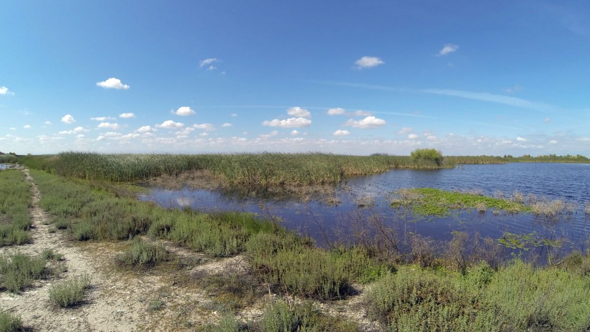
A new publication by scientists from U.S. Geological Survey, Point Blue Conservation Science, and CBI shows how knowledge coproduction – the collaborative creation of actionable information by scientists, resource managers, and policymakers – can help identify viable conservation options for a dynamic ecosystem with a complex web of stressors. The authors of the publication “Knowledge Coproduction on the Impact of Decisions for Waterbird Habitat in a Changing Climate” dove deep into this process for wetland conservation in California’s Central Valley, producing computer models that tested management actions under different climate change and environment management scenarios. The study showed that actions to restore wetlands and prioritize their water supply created habitat outcomes resilient to climate change impacts, particularly in March, when habitat was most limited, and that land protection combined with management can increase the ecosystem’s resilience to climate change.
Join CBI at the 2023 Society for Conservation GIS International Conference in August

The Society for Conservation GIS (SCGIS) is excited to announce that registration for the virtual 26th annual SCGIS International Conference is now open!
Interested professionals and the public alike are invited to join this global convening of the conservation GIS community online from August 16-18 for three days of keynote speakers, workshops, presentations, and virtual networking.
We invite you to participate in this exchange of scientific knowledge, tools, and best practices, and to connect with a vibrant and inclusive international community using geospatial technology to advance the conservation of environment, species, land, and cultures.
The Conservation Biology Institute has a longstanding involvement in SCGIS, including representation on the SCGIS Board of Directors and Communications Committee, as well as a partnership co-hosting webinars and meetups to share research and highlight the geospatial work of the broader conservation community.
At the upcoming conference in August, staff from CBI’s Geospatial Science and Modeling Team will present a curated session showcasing tools and technologies that CBI employs to provide geospatial solutions to conservation challenges. Featured work will include applications of CBI’s Environmental Evaluation Modeling System (EEMS), Python, Data Basin, and Google Earth Engine to various case studies.
Come be inspired by the great work happening in our community. We hope to see you there!