In partnership with NPLCC, CBI to identify connectivity pathways and prioritize corridors for focal species in PNW coastal ecoregion.
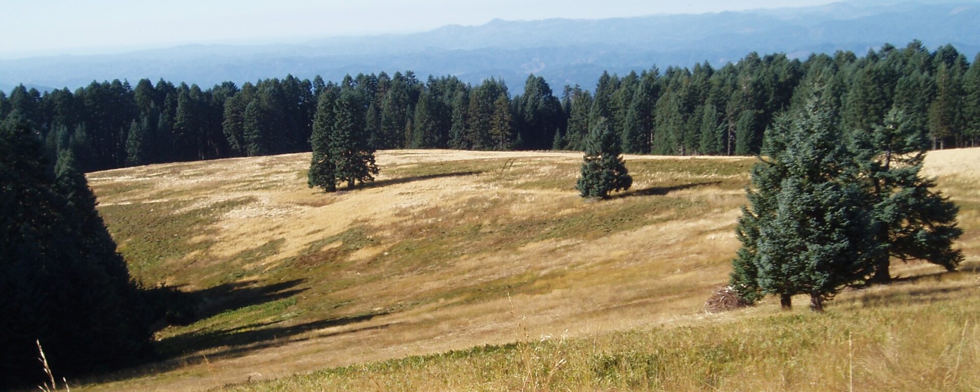
Landscape connectivity is critical for species dispersal and population resilience. This project is part of the collaborative Landscape Conservation Design (LCD) for the Pacific Northwest coastal ecoregion and conducted in partnership with the North Pacific Landscape Conservation Cooperative. The goal is to identify connectivity pathways and prioritize corridors for 2-4 focal species West of the Cascades in Oregon and Washington. In Oregon, we will work closely with the members of the Oregon Habitat Connectivity Consortium (OHCC) for both the coastal and Willamette valley ecoregions of the state. The methods tested and refined in this project will feed into future Oregon-wide connectivity mapping.
To learn more and explore related maps and datasets, please visit the Data Basin gallery, “Connectivity of Naturalness in Western Washington“. The gallery includes outputs showing the structural connectivity (i.e. naturalness connectivity) for Western Washington.
These data can be used to help guide connectivity conservation efforts. They are the results from the pilot project comparing Omniscape (coreless) and Linkage Mapper (core areas) modeling methods. Extra attention was made to the data inputs and the rigor of the analyses so that the results can be applied, in addition to answering the driving research question.
Project Details
Location
Date
Services Provided

Data Basin

Spatial Analysis & Mapping