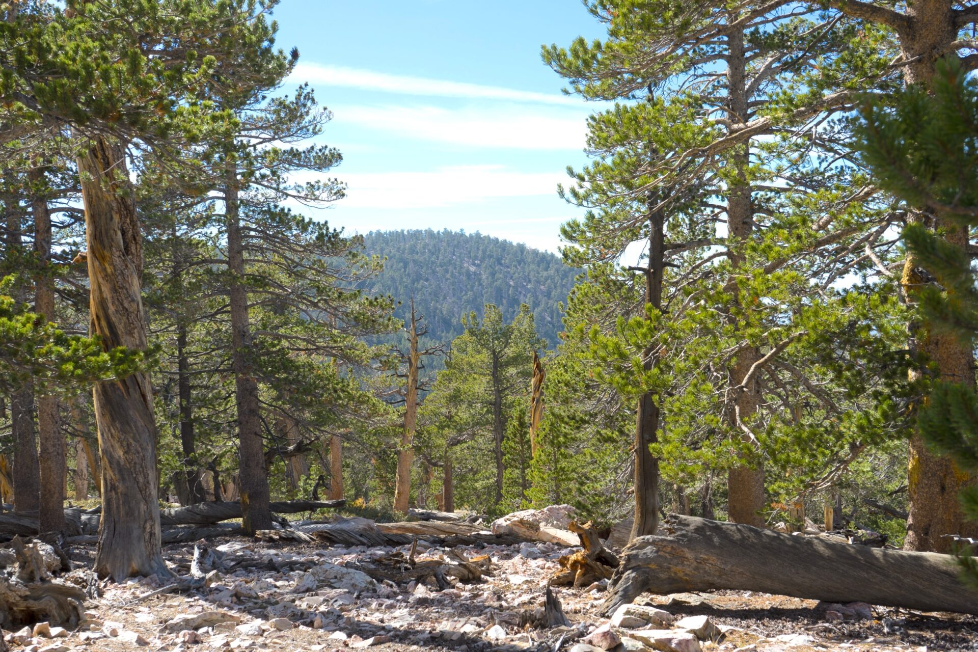
Southern California’s montane conifer forests are primarily restricted to the “sky islands” of the San Jacinto, San Bernardino, and San Gabriel Mountains. These unique ecosystems protect the upper watersheds of all of the region’s major rivers and provide ecosystem services critical to both human and ecosystem climate resilience. Managers are in a race to restore resilience to these forests, which are threatened with conversion to hardwood and shrub due to severe wildfires and regeneration failure.
This partnership between the US Forest Service, San Diego State University, and Conservation Biology Institute is applying the latest research on interactions between multiple disturbances specific to this ecoregion to plan effective conservation action.
The effort expands on research from the Connecting Wildlands and Communities project that developed a landscape-scale framework to map refugia from multiple stressors, and ongoing research projects at CBI developing dynamic wildfire and vegetation succession models for understanding the synergistic impacts of climate change, land use change, and different management scenarios.
The team will work with scientists and managers to build interactive spatial models using CBI’s Environmental Evaluation Modeling System (EEMS) with location-specific data to support the collaborative development of a conservation strategy customized to address the threats faced by southern California’s montane forests.
Project Details
Partners
Location
Date
Services Provided

Conservation Planning & Management

Consultation & Training

Scientific Research & Modeling