We recently updated the West Coast Estuaries Explorer - a tool designed to engage a broad range of users with detailed information about U.S. West Coast estuaries.
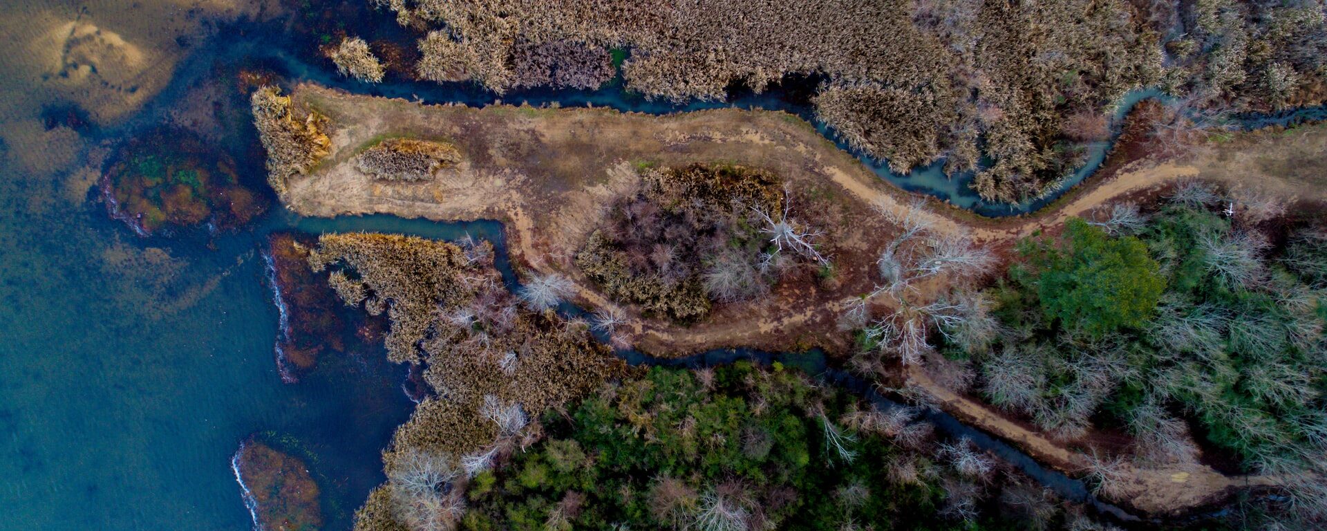
CBI recently worked with the Pacific Marine & Estuarine Fish Habitat Partnership (PMEP) to update the West Coast Estuaries Explorer, a tool designed to engage a broad range of users with detailed information about estuaries along the U.S. West Coast. The first version of this tool was developed in partnership with PMEP and the North Pacific Landscape Conservation Cooperative. The partnership between CBI and PMEP continues with support from NOAA and the Pacific States Marine Fisheries Commission (PSMFC). The Estuaries Explorer got several performance and design updates to make it easier to use and more visually engaging. In addition to the latest available information for estuary boundaries and biological habitats, the Explorer now includes aerial images for each of the estuaries in Washington, Oregon, and California. Later this year, CBI and PMEP will incorporate additional information on the location of eelgrass habitat and areas of tidal wetland loss. PSMFC has taken over long-term hosting of this exciting tool.
Project Details
Location
Date
Services Provided

Conservation Software Solutions

Spatial Analysis & Mapping