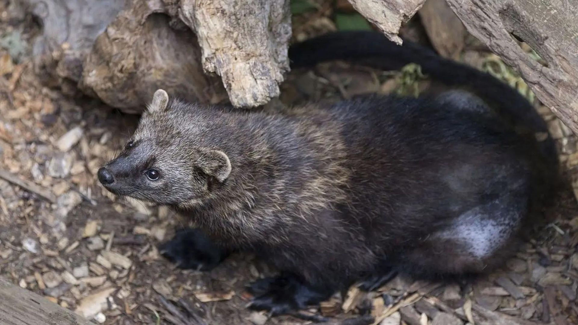
The relationship between fishers (Pekania pennanti), fire, and fuel management in the Sierra Nevada region is complex and highly controversial, and the recent listing of southern Sierra Nevada fishers as endangered has brought this issue to the forefront for many land managers. While wildfire is a natural component of the historic disturbance regime in the dry, mixed conifer forests of California, it also has the capacity to destroy large swaths of suitable habitat and to fragment tenuous populations, particularly given recent shifts in wildfire scope and severity. Therefore, balancing fuel reduction with habitat conservation requires careful consideration of spatial and temporal context, cumulative effects, and management prescriptions. There are several unresolved questions pertaining to fishers, including how and when fishers begin to reuse postfire landscapes and whether this information can be applied to postfire efforts to restore habitat connectivity and limit negative impacts of population fragmentation. To better understand fisher response to postfire landscapes, and to provide land managers with guidance regarding habitat restoration efforts, we investigated fisher recolonization behavior in and around 2 recent Sierra Nevada wildfires. We hypothesized that fisher use of postfire landscapes would be driven by at least 1 of 4 primary variables: prefire habitat quality, fire severity, topography, and time since fire. We developed 5 hypotheses regarding how fishers would begin to explore postfire landscapes and tested them using a combination of fine- and coarse-scale analyses based on data collected using scat detection dogs. At fine scales, the strongest relationship we observed was the combination of fire severity and landscape curvature on fisher scat location. At coarser scales, fisher colonization rates reflected avoidance of areas dominated by higher-severity fire, and fishers had a higher probability of being found in areas with larger and more contiguous patches of low-severity fire. Our results suggest that fisher use of postfire landscapes may center on low-severity or unburned islands (i.e., fire refugia/fire skips) and on fine-scale topographic features associated with landscape concavity, such as ravines or topographic depressions. Efforts to promote a sustainable low- to mixed-severity fire regime that creates habitat heterogeneity and forest resiliency can support fisher conservation in this region, and restoration efforts that capitalize on connecting fire refugia using microtopography as a foundation may facilitate habitat connectivity for fishers more rapidly than traditional methods.
Publication Details