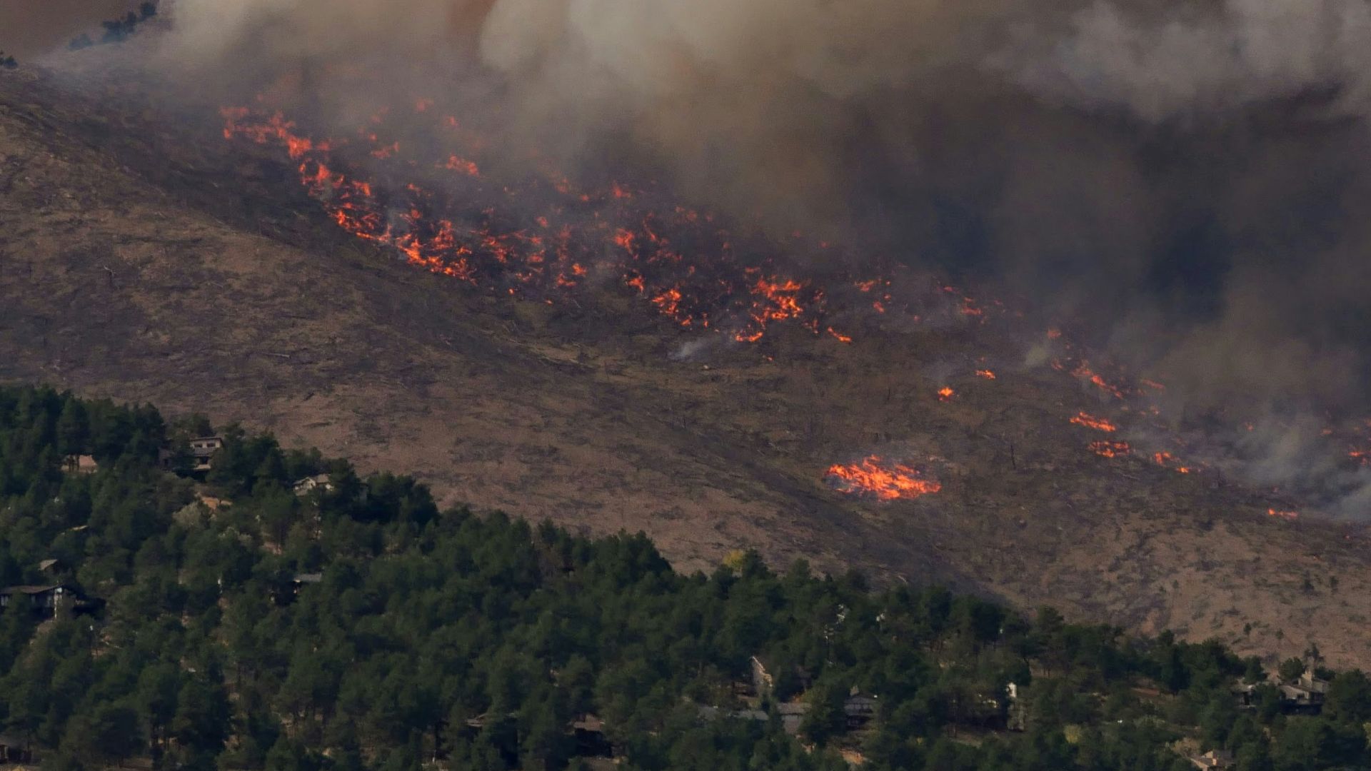
Climate change adaptation and mitigation require understanding of vegetation response to climate change. Using the MC2 dynamic global vegetation model (DGVM) we simulate vegetation for the Northwest United States using results from 20 different Climate Model Intercomparison Project Phase 5 (CMIP5) models downscaled using the MACA algorithm. Results were generated for representative concentration pathways (RCPs) 4.5 and 8.5 under vegetation modeling scenarios with and without fire suppression for a total of 80 model runs for future projections. For analysis, results were aggregated by three subregions: the Western Northwest (WNW), from the crest of the Cascade Mountains west; Northwest Plains and Plateau (NWPP), the non-mountainous areas east of the Cascade Mountains; and Eastern Northwest Mountains (ENWM), the mountainous areas east of the Cascade Mountains. In the WNW, mean fire interval (MFI) averaged over all climate projections decreases by up to 48%, and potential vegetation shifts from conifer to mixed forest under RCP 4.5 and 8.5 with and without fire suppression. In the NWPP MFI averaged over all climate projections decreases by up to 82% without fire suppression and increases by up to 14% with fire suppression resulting in woodier vegetation cover. In the ENWM, MFI averaged across all climate projections decreases by up to 81%, subalpine communities are lost, but conifer forests continue to dominate the subregion in the future.
Publication Details