This is an “action research” project that makes scientific products necessary for conservation decision-making, while also applying additional methods to explore scientific frontiers. It is anticipated that the applied work will help the most locally, and the exploration of novel methods will help more with the global biodiversity challenge.
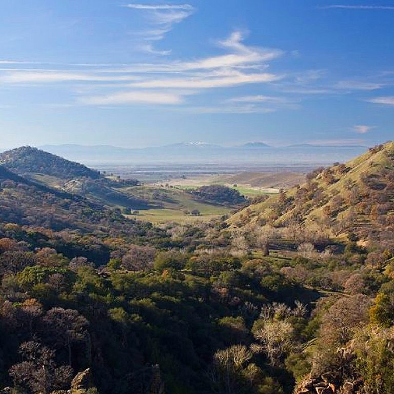
The applied conservation science assignment was to prioritize and map areas important for wildlife habitat connectivity within several regions in California: the Modoc Plateau, the Sacramento Valley, and the West Mojave Desert. These regions are important for alternative energy expansion in order to meet California’s ambitious plans to reduce greenhouse gas emissions by 2030. Identifying critical pathways for wildlife movement in these regions would help the state avoid or minimize impacts in these areas. In general, there are two ways to conserve connectivity in a region – (1) conserve more habitats in key areas that facilitate movement and (2) mitigate landscape features that impede movement, such as roads, railroads, and urban development. Our connectivity analysis results were used in combination with other conservation factors to answer these questions: what areas should be conserved or avoided? What areas may need mitigation for any kind of development?
In doing this action research, we explored three questions:
- How can we assist prioritization efforts by improving the way that connectivity models map conservation priority both within and among the linkages on the landscape?
- How can climate change considerations be better incorporated into habitat connectivity modeling and prioritization?
- How can the priority area maps for many focal species, and several structural (naturalness-based) connectivity analyses, be combined into a single map?
DOI: https://doi.org/10.6084/m9.figshare.7477532.v6
Citation:
Gallo, John; Strittholt, James; Joseph, Gladwin; Rusigian-Romsos, Heather; Degagne, Rebecca; Brice, Justin; et al. (2019): Mapping Habitat Connectivity Priority Areas that are Climate-wise and Multi-scale, for Three Regions of California. figshare. Journal contribution. https://doi.org/10.6084/m9.figshare.7477532.v6
