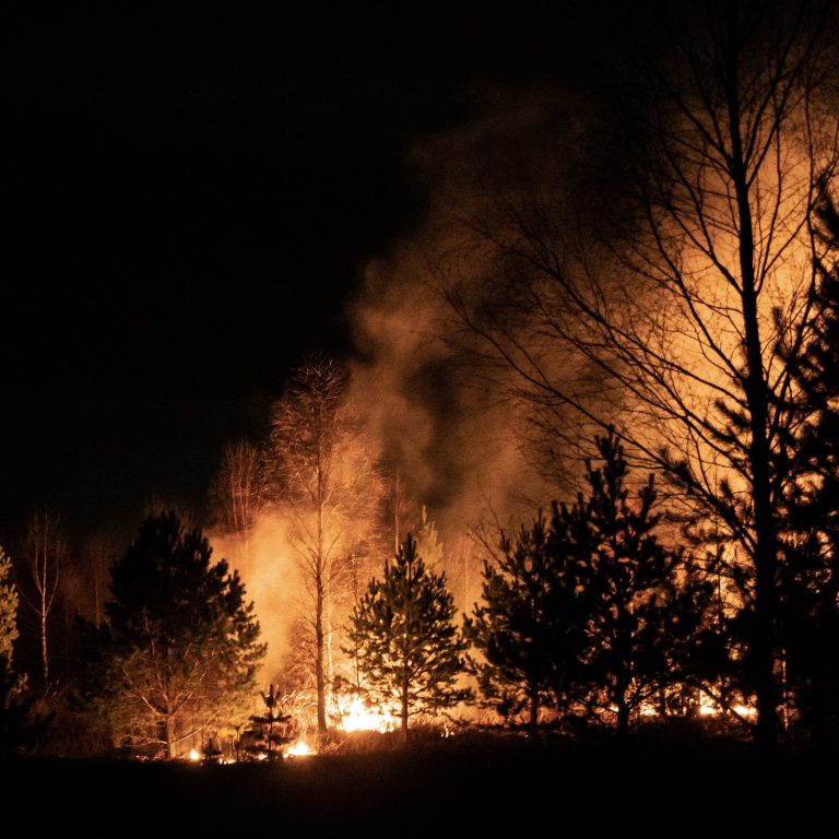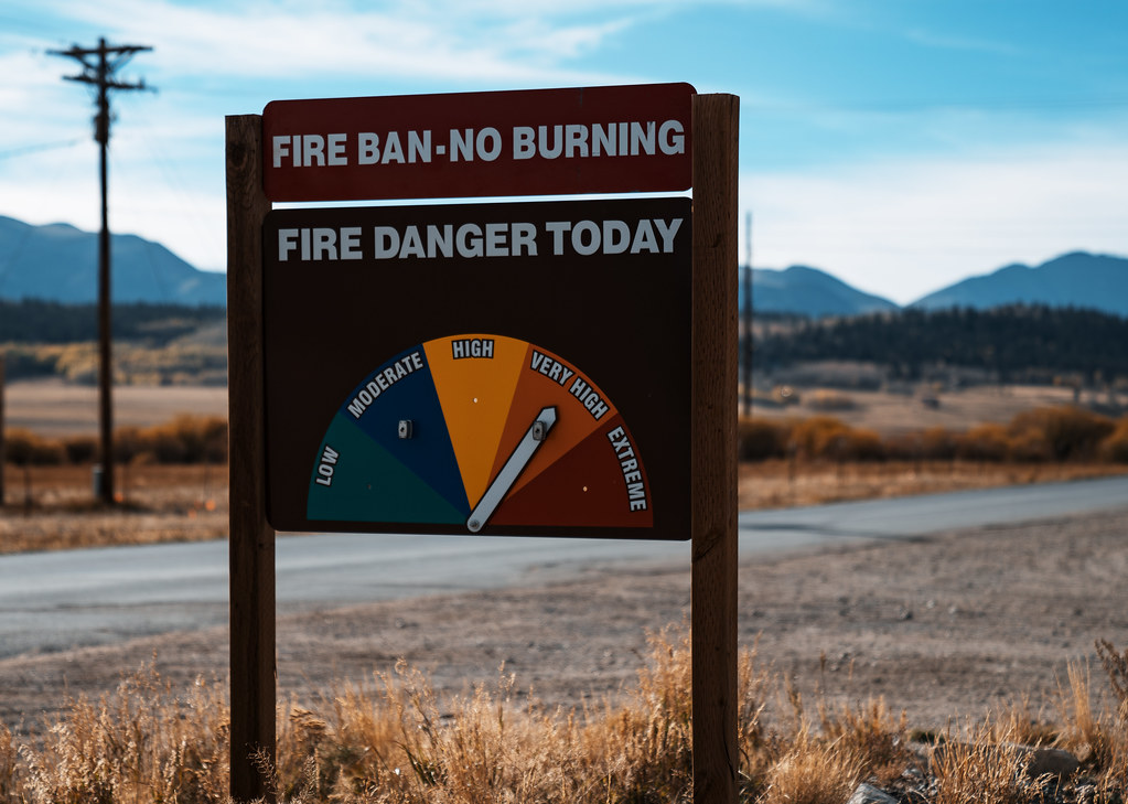
We used historical fire occurrence data to evaluate the relative probability of wildfire ignition and occurrence of large fires across Santa Barbara county, California, under both historical and projected future conditions. The resulting probability layers are intended to support a Regional Priority Plan to reduce wildfire risk and improve forest and habitat health.
We statistically compared locations of fire ignitions and large fires (> 40-ha) to environmental variables likely to influence where fires start and how they spread (vegetation, terrain, land-use, and climate variables). We used the most predictive variables to create multivariate models of fire ignition risk and the risk of large fire using the MaxEnt program. In addition to estimating risk now using the baseline conditions (1980-2010) we also estimated these risks into the future (2020-2050) using two available general circulation models (GCM) – CNRM-CM5 (“cool/wet” conditions) and MIROC5 (“hot/dry” conditions), and we used the RCP 8.5 “business as usual” emissions scenario for both. To consider fire-climate-vegetation interactions under future climates, simulated vegetation predictors derived from a process-based dynamic vegetation model called MC2 were included. We also mapped the percent change of fire ignition and large fire occurrence risk for any given location from current to future conditions.
We tested the models by seeing how well they predicted some past fire ignitions and large fires that had been randomly set aside from those fires used to train the models. Average test AUC values (a measure of model discrimination) were 0.72 for fire ignition and 0.67 for large fire occurrence, suggesting the models performed satisfactorily with moderate predictive power.
Fire Ignition Risks – Baseline
Distance to development and distance to roads were the most important contributors to ignition risk. Minimum temperature and annual precipitation were of moderate importance. Fire ignition risk varies greatly across Santa Barbara County, but is concentrated on flat slopes and in lower elevation areas, such as Nipomo Valley in the northwest, Santa Ynez Valley in the central part of the county, Cuyama Valley in the north, and Ojai Valley in the southeastern part of the study region. There is also a large zone at higher risk on the coast, in the greater Santa Barbara area.
Fire Ignition Risks – Futures
Under CNRM-CM5 (cool/wet) future projections, fire ignition risk patterns are similar to the baseline, with the following differences. Percent change from baseline was highest in mountainous areas (San Rafael and Santa Ynez), southwest of Lompoc, and in the Nipomo valley. Large decreases in fire ignition risk are projected under CNRM-CM5 in north-central and northeastern portions of the region – Caliente Range, Sierra Madre. Across the entire landscape, there was an average increase in projected fire ignition risk of 7%.
Under MIROC5 (hot/dry) conditions, there was a projected contraction in areas of high fire ignition risk over most of the region, most notably in the greater Santa Barbara region, Santa Maria Valley, and Cuyama Valley. The very limited areas with increased projected fire ignition risk under MIROC5 are concentrated in inland areas at higher elevations around Matilija Wilderness, Pine Mountain, and Topatopa Mountains following patterns in increased summer precipitation and dead wood carbon. Across the entire landscape, there is an average decrease in projected fire ignition risk of 18% across the landscape.
Large Scale Fire occurrence – Baseline
Topographic heterogeneity, higher wind speeds, higher minimum temperature, and higher annual precipitation were the most important contributors to the occurrence of large scale fires. Areas at greater risk for large fires in the region are at predominantly at higher elevations with steep slopes, along the Irish Hills in the west, Santa Ynez-Sulphur Mountains along the coast, Sierra Madre Mountains to the north, San Rafael Range in the central part of the region, and Topatopa Mountains to the east.
Large Scale Fire occurrence – Future
Under both CNRM-CM5 (cool/wet) and MIROC5 (hot/dry) projections, large fire risks are slightly greater than under the baseline, with the following differences. Minimum temperature and dead wood carbon, moderately important predictors in the large fire risk model, show similar patterns of increase relative to baseline under both GCMs. Percent change in projected large fire risk under CNRM-CM5 is highest in the northeastern part of the region around San Emigdio Mesa and San Guillermo Mountain, around the Topatopa Mountains in the east, and also along the Sierra Madre and San Rafael Mountains. Across the entire landscape, there is an average increase in projected large fire risk of 9% under CNRM-CM5. Highest projected increases in large fire risk are in small patches around San Emigdio Mesa and San Guillermo Mountain under MIROC5, with an average increase of 8% across the landscape.
We emphasize that fire risk modeling is inherently uncertain given the stochastic nature of fire and how it is affected by factors not available for statistical analyses, and that therefore these results must be interpreted with caution.
*Preferred citation: Rustigian-Romsos, H.L., J.A. Gallo, W.D. Spencer, and A.D. Syphard. 2021. Modeling the potential for fire ignition and large fire occurrence in Santa Barbara County, California. Conservation Biology Institute. https://doi.org/10.6084/m9.figshare.14417837
Report Details