Software Details
Related Posts
CBI Contact

CBI Authors + Contributors

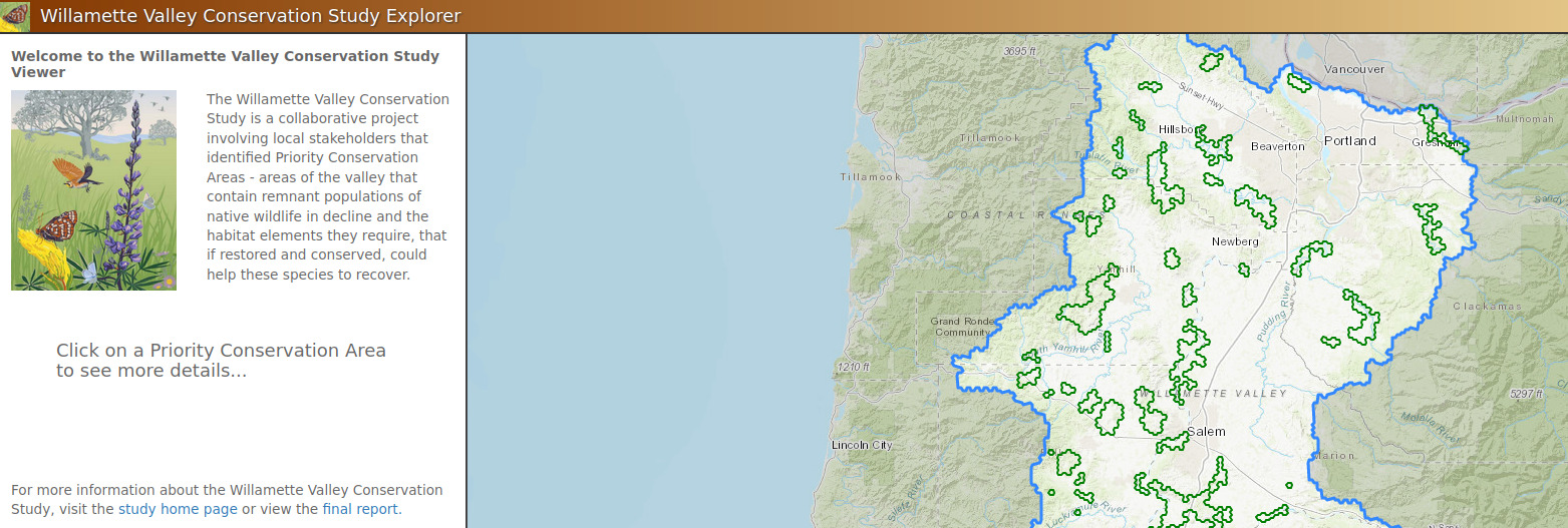
A collaborative project involving local stakeholders that identified Priority Conservation Areas
The Conservation Biology Institute partnered with The US Fish and Wildlife Service, Refuges Lands Division and North Pacific LCC, to develop an interactive web-based mapping tool to support the Willamette Valley Conservation Study (WVCS). This tool is targeted to conservation partners in the region, as well as the general public. The primary objective of this tool is to serve as a communication and data exploration tool for priority areas identified within the WVCS, and will allow users to understand the key characteristics of each priority area and better understand why each area was selected.