Estimating Water System Contamination from Wildfires
A New Web Application Launched
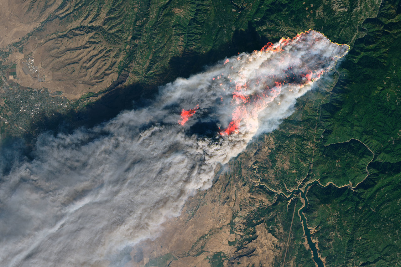
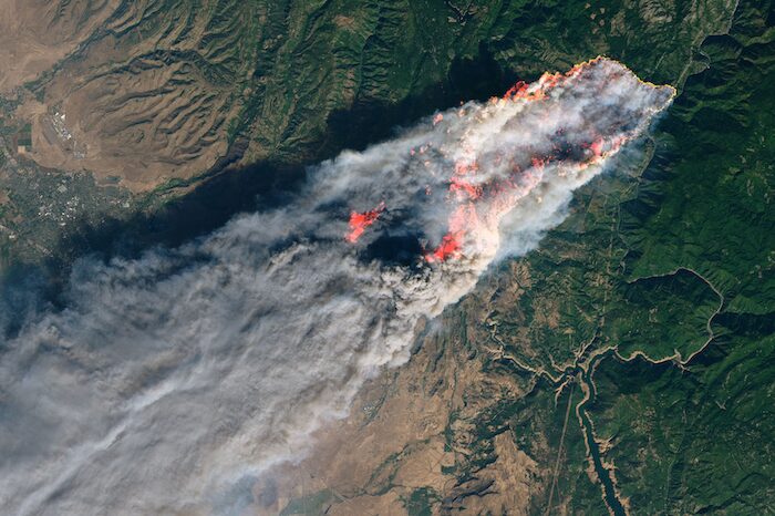
Wildfires in the Western U.S. have increased in intensity and frequency over the last decade with as many as a third of the U.S. population estimated to be at some risk to wildfire. In particular, recent fires in California have caused significant damage to water distribution systems. Both the 2017 Tubbs Fire and the 2018 Camp Fire caused damage to the water distribution systems in Santa Rosa and Paradise, respectively, which resulted in water supplies being contaminated with benzene and other toxic chemicals.
To help communities plan for and recover from these impacts, CBI has partnered with Oregon State University researchers to develop a set of spatially-explicit logic models that estimate vulnerability to water contamination exposure following a large-scale fire event. Model outputs were recently produced for Santa Rosa and Paradise and incorporated into a new web application developed by CBI called the Wildfire Vulnerability Explorer.
Estimates of vulnerability are based on three primary factors: the probability of water contamination, socioeconomic sensitivity, and adaptive capacity. The Wildfire Vulnerability Explorer brings this information together in an interactive map to help officials with both pre-fire planning and post-fire prioritization of recovery efforts. By identifying communities that are the most vulnerable to water contamination exposure, efforts can be taken to better plan for and direct resources to those areas. The pilot approach developed through this study can be readily applied to other regions were wildfire danger is an ongoing concern and where the people living in these areas rely on uncontaminated water distribution systems.
Upcoming Webinar Presentation
Adapting the Environmental Evaluation Modeling System and Community Science for Identifying Postfire Restoration Opportunities
Presented by John Gallo, Ph.D.
CBI Senior Conservation Scientist
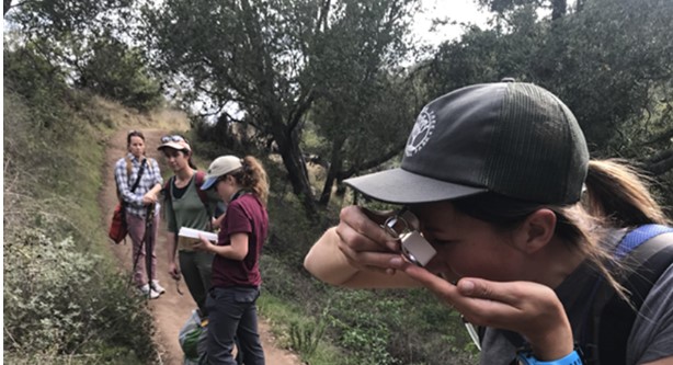
Habitat restoration and the management of invasive species are important strategies for conserving biodiversity, especially in recently burned areas which are especially vulnerable to invasion. To help managers prioritize restoration locations, CBI, Santa Barbara Botanic Garden, and U.S. Forest Service collaborated to create a new, replicable tool and approach for better combining field data (including a role for citizen scientists) with decision science. All are welcome to attend this webinar hosted by the California Department of Fish and Wildlife through their Conservation Lecture Series on Tuesday, April 18th from 10:30-12:00 Pacific Time.
Our Team is Growing!
We are thrilled to welcome four talented new staff members to the CBI team
Erin Conlisk, Ph.D. Senior Scientist
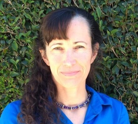
As a quantitative ecologist and conservation biologist, Erin Conlisk’s research ranges from applied land management to academic ecology and is typically multidisciplinary, focusing on conservation co-benefits in socio-ecological systems. She often integrates field experiments with quantitative techniques to understand California plant and wildlife responses to climate change, land-use change (including wildfires). Currently, Erin is working on vegetation and wildfire simulation modeling to understand the influence of climate change, urban development, and forest management on California wildfire risk. When Erin is not working you will find her getting outdoors and talking to young people about newfangled things they didn’t have in her day.

Brianna Fair, B.A., B.S. Senior Software Engineer
Brianna Fair focuses on project architecture, technical project management, behavioral analytics, and full-stack software engineering, with a particular interest in UX for its direct link to user behavior and interaction. Brianna has worked in tech since the beginning of her career, leading developing and growing a number of digital departments and software teams throughout the West Coast. Much of her work has been focused on integrating a behavioral analytics layer into software to allow for direct feedback to the user experience, in order to better personalize digital interactions. Most recently, she co-founded a decentralized hydroponic farming initiative, based out of Corvallis, Oregon.

Justin Heyerdahl, M.E.S.M. Geospatial Analyst
With a background in landscape and quantitative ecology, Justin applies ecological systems thinking coupled with computer mapping technology to help understand past, present, and future conditions. By applying data science through storytelling, Justin provides innovative technical expertise to develop practical insight on ecosystems multi-stakeholder audiences that helps inform decision-making. His work aims to identify opportunities for improving adaptive capacity to balance the relationship between people and the planet for a more sustainable, resilient future. Justin resides in San Diego where he enjoys being a frequent patron of the San Diego Zoo & Safari Park and tending to his indoor jungle of houseplants.
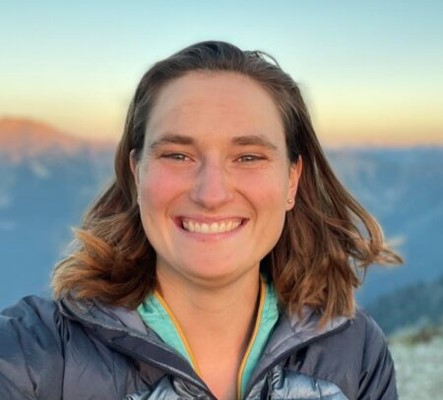
Grace Stonecipher, M.S. Geospatial Analyst
Grace applies geospatial technologies to translate data into accessible and actionable conservation solutions. Her areas of expertise and interest include GIS, remote sensing, data visualization, and interactive web maps. Grace has broad experience in conservation, most recently with the Center for Large Landscape Conservation to analyze the potential impacts of linear infrastructure development on wildlife across Asia. She has also worked with the National Park Service to identify disturbances in National Parks using satellite imagery. Grace currently lives in Bend, OR, where she enjoys backpacking, rock climbing, skiing, and jigsaw puzzles when she is not working on the latest conservation challenge.
