Science-driven Fuels Reduction Planning at the Landscape and Property Scales
Efforts are underway in Sonoma County to provide critical information to facilitate strategic, ecologically-sensitive fuel management across the region for the long-term resilience of its communities and watersheds. The Sonoma County Wildfire Resilience Decision Support Framework is part of a county-wide coordinated initiative to prioritize actions and investments by local agencies implementing the Sonoma County Community Wildfire Protection Plan.
Two online decision-support tools make up the Decision Support Framework:
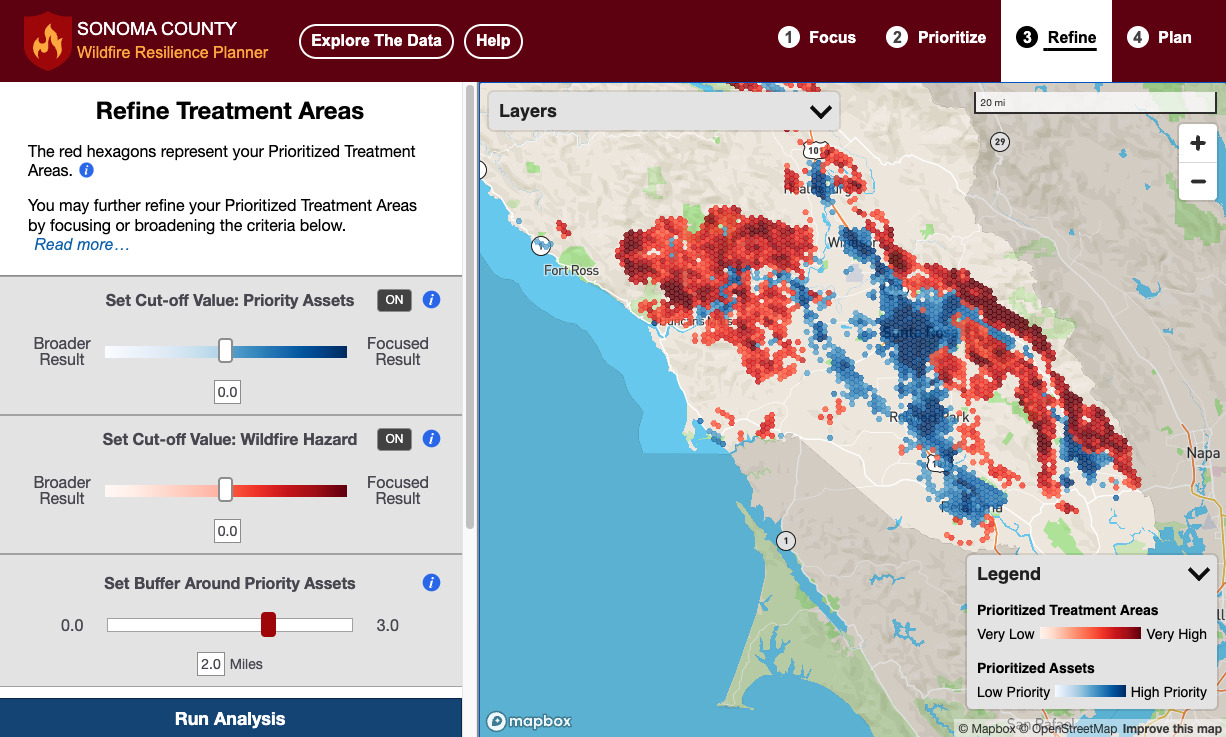
The Wildfire Resilience Planner: Strategic Planning at the Landscape Scale
Sonoma Water, Conservation Biology Institute (CBI), Ag Innovations, Pepperwood Preserve, Tukman Geospatial, Digital Mapping Solutions have created the Sonoma County Wildfire Resilience Planner, an online decision support tool for prioritizing locations to reduce wildfire fuels to protect lives and property, community infrastructure, ecosystem services, and biodiversity. The tool encourages collaborative planning of projects on public and private land, helping to leverage individual efforts for a unified and strategic approach to fuels management. The Wildfire Resilience Planner is available for use at https://sonoma.resilienceplanner.org/. For more information or to provide feedback, please contact Molly Oshun, Molly.Oshun@scwa.ca.gov or Deanne DiPietro, deanne.dipietro@consbio.org.
The Wildfire Fuel Mapper: Property-Specific Information for Fuels Management
The University of California Cooperative Extension, Pepperwood Preserve, and Tukman Geospatial have developed the Wildfire Fuel Mapper, on online tool that provides landowners and managers with maps and information for designing and implementing projects to reduce wildland fuels. For more information contact Stephanie Larson slarson@ucanr.edu or Kai Foster kfoster@pepperwoodpreserve.org.

