The objective of this project was to use relatively recent fire severity data to create scientifically defensible maps of areas that may be at risk of high-severity fires in the Klamath region of northern California and southern Oregon over the next decade or so based on vegetation, terrain, and climate variables. As a first attempt of this nature for the region, the results should be interpreted with caution. Modeling fire risk is an inherently uncertain task given the stochastic nature of fire and how its effects are influenced by ignition timing and location, terrain, fuel conditions, and weather conditions and firefighter tactics during a fire. Many of these factors are not mapped or available for use in statistical analyses or predictive models, especially how real-time weather conditions and fire-fighting actions may have influenced fire behavior and ecological effects. Our intent was therefore to map the potential for large, severe fires based on available, landscape- scale, and longer-term data, not to predict real-time fire behavior nor to make precise predictions about future fires. Furthermore, at the time these models were prepared, climate data were not yet available at appropriate spatial resolution to correlate with fire severity data after the year 2010, which constrained our temporal window for model creation; and of course, climate and its effects on fire regimes are rapidly changing.
All of these issues add significant uncertainty to our landscape-scale predictions about where large severe fires are likely in the future. These results should therefore be considered preliminary and interpreted with appropriate caution as representing hypotheses about where severe fires may be more likely in the near future rather than as specific predictions about future fires. As better data become available, we urge improving on these models.
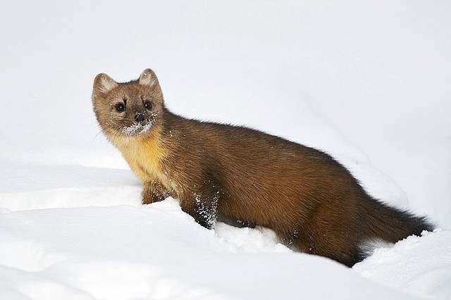
This effort complements CBI’s effort to model habitat connectivity for forest species of concern in the region (Pacific marten and Pacific fisher)1 by identifying important habitat core and connectivity areas that may be threatened by severe fires or forest management actions. The results of these preliminary fire-severity risk maps were overlaid onto modeled habitat and potential movement corridors for fisher and marten to map where habitat and population connectivity may be at greatest risk. The results can be used by USFWS in assessments of species’ status and risks, and to help prioritize potential management interventions (e.g., fuels management), albeit with appropriate caution.
This is the first attempt we know of to prepare higher-resolution, statistically valid fire risk maps for this region. This information is needed because many USFWS Section 7 consultations involve fire and fuels management projects, and large high-severity fires can at least temporarily threaten population viability for at-risk species. The results can inform Strategic Habitat Conservation priorities of the Yreka USFWS Field Office and the greater Klamath Basin Demonstration Project.
Report Details