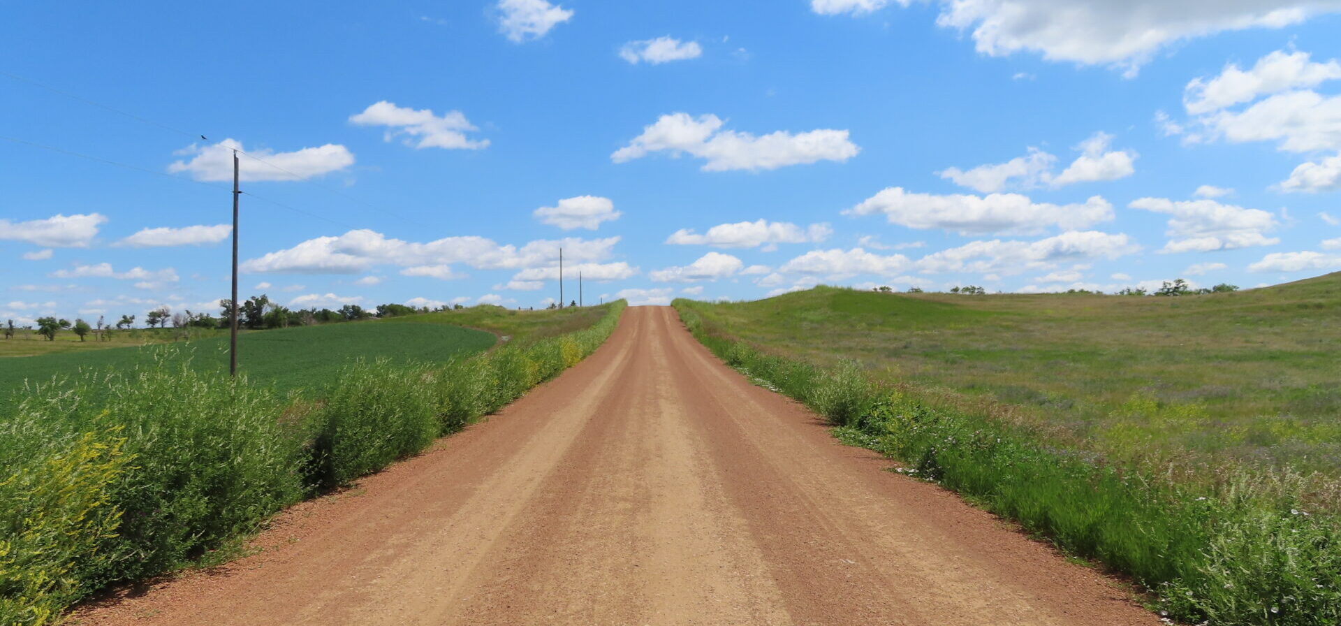
The USDA Conservation Reserve Program (CRP) works with private landowners to advance conservation on their lands. This voluntary program currently comprises over 23 million acres making it an extremely important component of conservation in America, particularly in locations with limited public conservation lands. Management actions taken on enrolled lands include augmenting native vegetation for pollinators, providing habitat for grassland plants and animals, increasing biodiversity, reducing soil erosion, and improving water quality.
CBI is working with USDA to improve the effectiveness and efficiency of the program as it strives to expand enrollment in the coming years. Working in several pilot states (Mississippi, Kansas, Colorado, Washington, Nebraska, and the Dakotas), CBI is focusing on the following tasks:
- Create an online service open to the public that assists landowners to identify plant mixes most appropriate for their locations and management goals and vendors where seeds/seedlings can be acquired.
- For agency and CRP contract holders, create an online service that helps manage emergency haying/grazing requests.
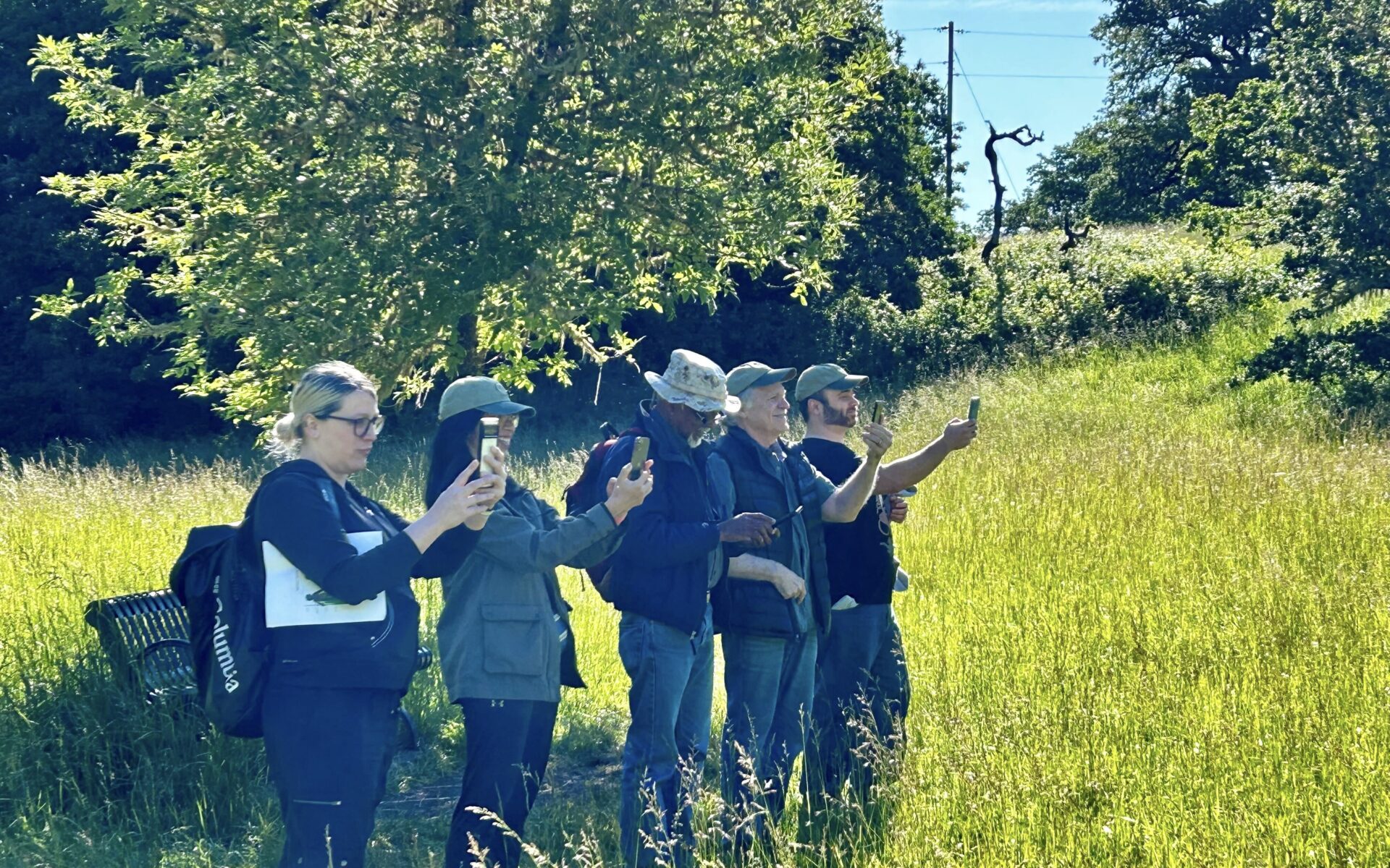
- Develop and implement technology and protocols (e.g., phone field assessment app) that will involve contract holders more in the implementation of their agreements, which will provide important monitoring for improved program evaluation.
- Improve mapping and monitoring of forests and grasslands as they relate to CRP goals and objectives using the latest remote sensing technology, machine learning, and high-end processing resources.
- Conduct spatial analyses to help the program prioritize areas for more targeted enrollment.
- For agency users, provide an online service that allows for rapid and meaningful assessments of conservation management outcomes on CRP lands.
CBI Takes a Field Trip!
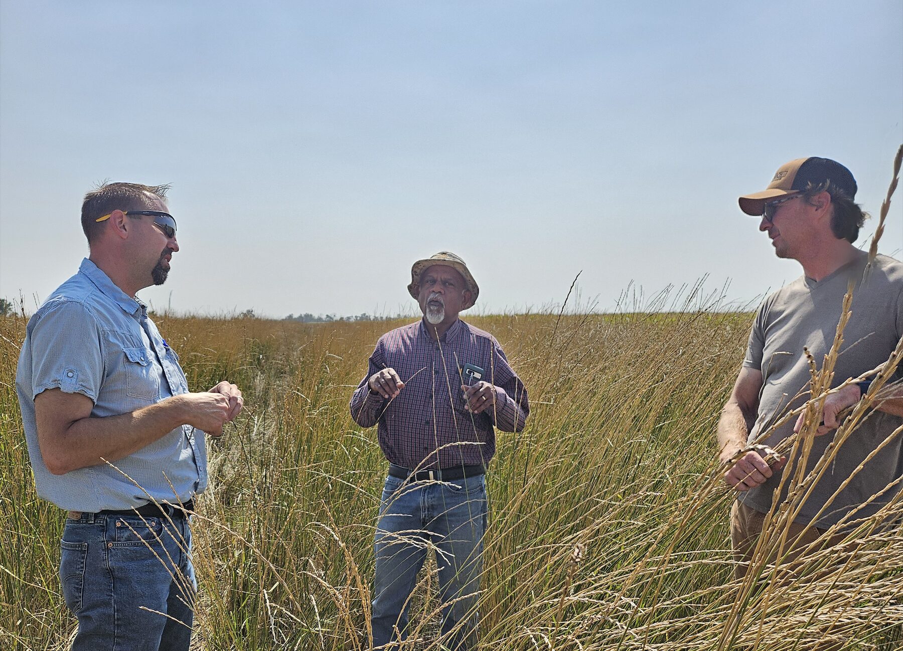
CBI headed to Jamestown, North Dakota, to speak with producers and USDA county staff regarding the USDA Mobile App, a tool designed for self-reporting, assessment, and communication surrounding CRP fields. We tested the app on over 35 fields to incorporate feedback from on-the-ground users, train remote sensing data, and test the effectiveness and ease-of-use of the tool. We coordinated with USGS, as well, testing this app on several of their pollinator plots, in conjunction with another CBI project.
Additionally, CBI traveled to Bismark and spoke with state NRCS staff, in order to hone and edit management questions and expand the usefulness of the app for reporting requirements and data gathering. Our experience was invaluable, as truthful reactions and deliberate responses from those who will eventually be using the tool, are critical in creating something that will be utilized and, ultimately, successful.
