What We Do
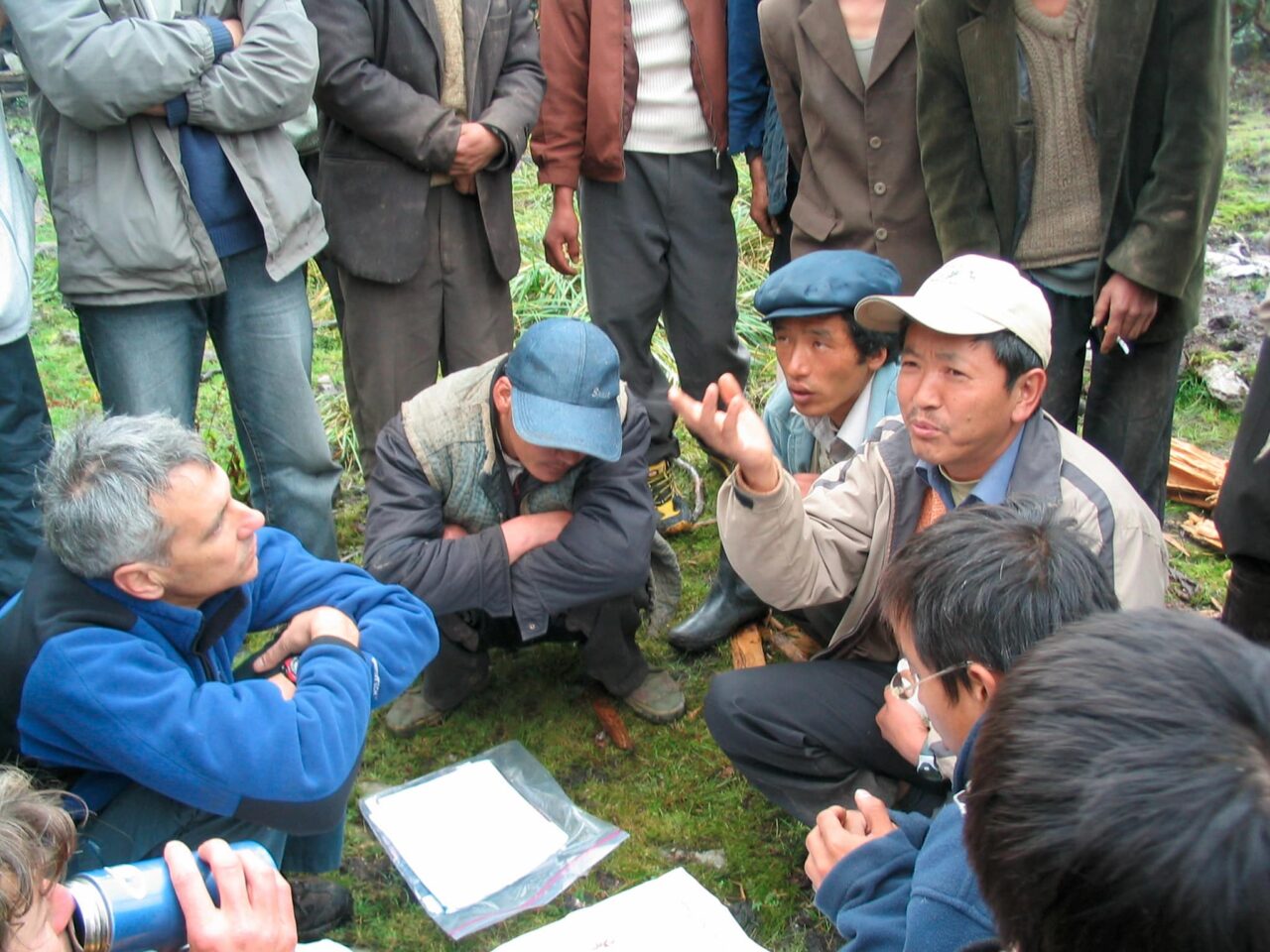
We work with our clients to tackle difficult conservation problems, going above and beyond simply delivering a product.
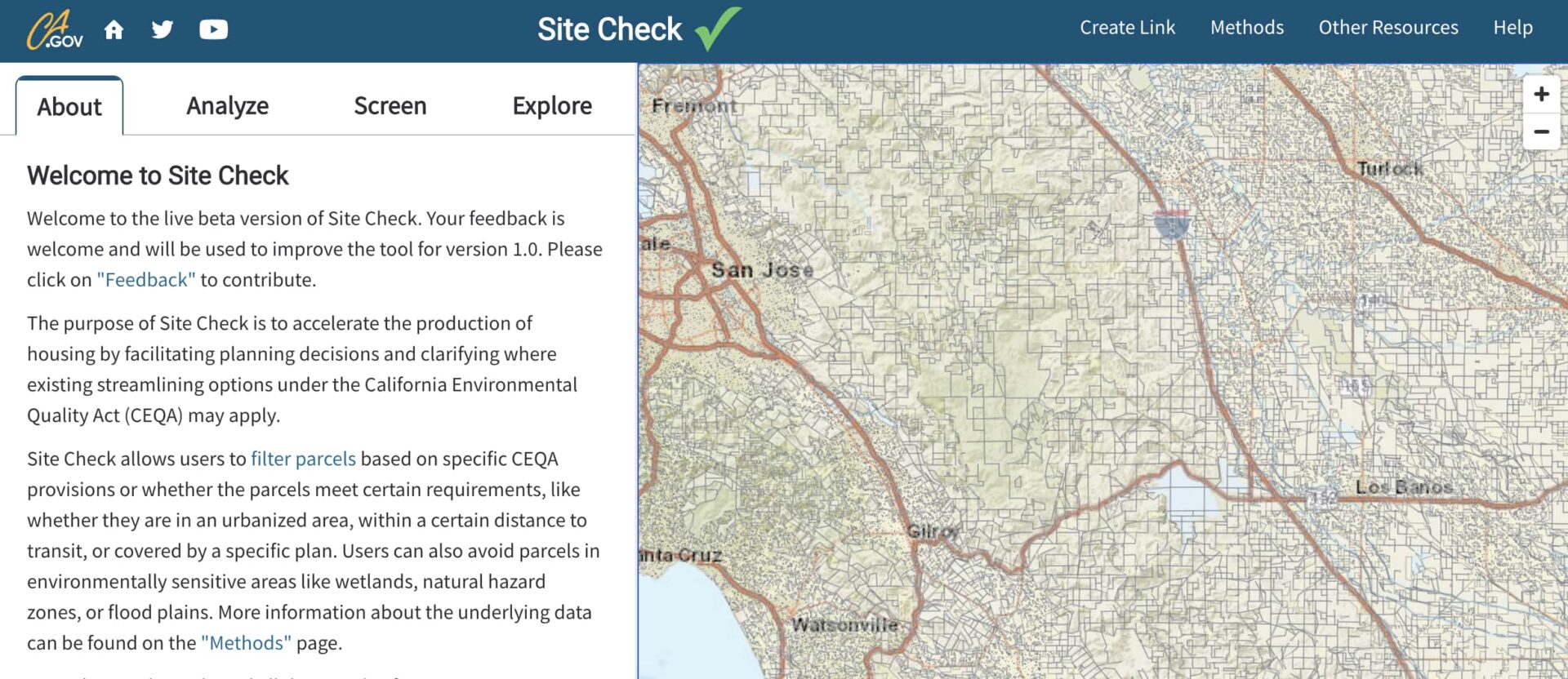
Our flagship platform, Data Basin, enables thousands of people from multiple sectors to access, explore, analyze, and act on geospatial conservation data.
We develop innovative, visually compelling tools to help people use the best science and data to make better conservation and resource decisions.

We provide customized modeling products for conservation, restoration, climate change adaptation, and natural resource management – all grounded in the best available science.
We advance practical and effective science-based planning strategies to protect and enhance native species, habitats, and ecosystems at all scales.
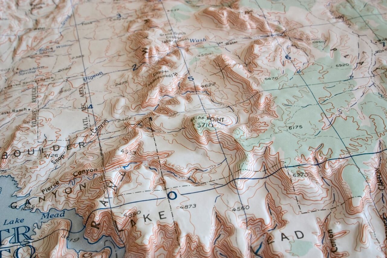
We empower our clients by providing spatial analysis and mapping products to help them visualize and communicate complex conservation issues.
We effectively translate the latest scientific research into real world solutions.