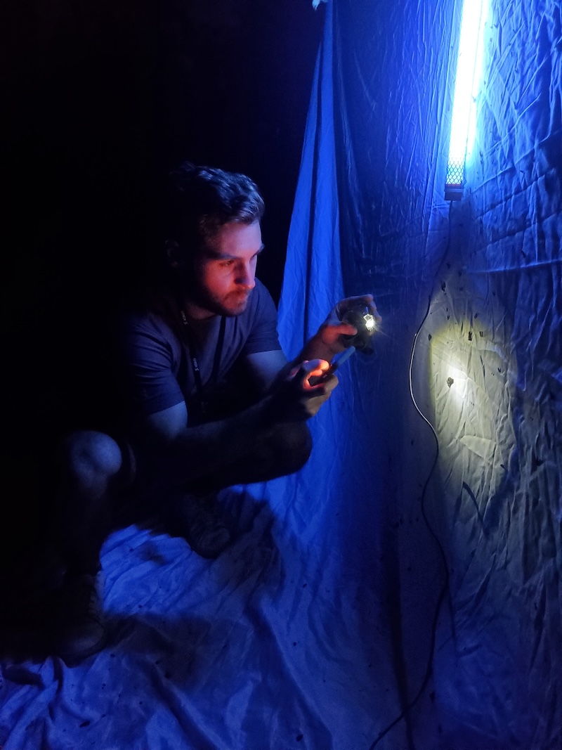
Designing landscapes to support biodiversity requires more than adding greenery—it requires restoring the complex networks of species interactions that underpin ecosystem resilience. This principle, known as the reference ecosystem design approach, was the focus of a recent discussion organized by the ASLA Climate & Biodiversity Action Committee.
Chris Cosma, PhD, ecologist with the Conservation Biology Institute, explained that modern development, habitat fragmentation, and climate change have progressively removed “nodes” from ecological networks, contributing to global declines in insects, birds, and other species. Cosma emphasized that landscape architects can play a pivotal role in reversing this trend. By using at least 70% native plants, prioritizing keystone species, and designing for plant, structural, and phenological diversity, designers can reactivate these critical nodes. Additional practices—avoiding pesticides, reducing light pollution, and leaving leaf litter—further enhance habitat function.
Cosma highlighted that these design strategies do more than support biodiversity; they also improve ecosystem services such as air and water quality, carbon sequestration, and human health. His work underscores that thoughtfully designed landscapes can mimic natural processes, creating stable, resilient ecosystems even in urban and suburban environments.
The California Native Plant Society’s Flora Magazine article “A Place for Pollinators” introduces the Pollinator Companion, a novel tool developed by Calscape to support the selection of native plants that enhance pollinator habitats, including species vital for agricultural productivity. This tool addresses global pollinator declines by enabling the creation of targeted habitats—even at small scales—that can serve as ecological corridors for native pollinators.

At the forefront of this initiative is CBI’s very own Dr. Chris Cosma, who played a central role in designing the Pollinator Companion and integration of ecological and pollination datasets into the tool—ensuring that its predictive models for plant-pollinator interactions are scientifically robust. The model leverages over 800,000 observations from the Global Biodiversity Information Facility (GBIF), including museum specimens, herbarium records, and citizen-science contributions, to predict interactions based on geographic distributions, bloom periods, and pollinator activity.
While the current focus is on bees, the model is designed to expand to underrepresented pollinators such as moths, beetles, wasps, and flies. Field validation studies are planned to evaluate the model’s effectiveness relative to traditional planting guides. Cosma’s collaboration with Dr. Laura Melissa Guzman, CNPS, and the California Department of Food and Agriculture (CDFA) combines ecological expertise and large-scale biodiversity data to inform habitat restoration efforts and combat pollinator decline.
The Pollinator Companion represents a major step toward evidence-based native planting, with Cosma’s contributions ensuring its scientific rigor and practical applicability. The tool is accessible via the Calscape website, where users can explore pollinator-focused planting strategies tailored to specific locations and seasons.
A miraculous recovery of the Yellowstone National Park ecosystem, due to the reintroduction of wolves, has completely reshaped the northern range through a trophic cascade – changes at the top of the food chain having a domino effect down the entire ecosystem. Check out these two articles featuring CBI’s William Ripple!
Wolves Transform Yellowstone’s Landscape: 1,500% Growth in Riverside Plants Shows Nature’s Comeback
“Our findings emphasize the power of predators as ecosystem architects,” said William Ripple from Oregon State University, who led the research. “The restoration of wolves and other large predators has transformed parts of Yellowstone, benefiting not only willows but other woody species such as aspen, alder, and berry-producing shrubs.”
Restoring predators, restoring ecosystems: Yellowstone wolves and other carnivores drive strong trophic cascade
The research, which utilized previously published data from 25 riparian (streamside) sites and collected over a 20 year period, from 2001 to 2020, revealed a remarkable 1,500% increase in willow crown volume along riparian zones in northern Yellowstone National Park, driven by the effects on elk due to a restored large carnivore guild following the reintroduction of wolves in 1995–96, and other factors. The study was led by Dr. William J. Ripple of Oregon State University and the Conservation Biology Institute in Corvallis, OR, and published in Global Ecology and Conservation.
With historic intensity and severity, the recent L.A. fires have been a catalyst for scientific research surfacing nearly every news article, publication, and journal – many of which feature Conservation Biology Institute’s very own, Dr. Alexandra Syphard. Take a look at the PNAS article, How towns can adapt to fire as bigger burns loom.
Firefighters and land managers have been using fuel breaks for decades, but only recently have actual studies emerged suggesting that fuel breaks can reduce fire severity and damage (1). Fuel breaks “can work and can alter fire behavior,” especially in forests—where the majority of this research has been done—says Alexandra Syphard, a senior research ecologist at the Conservation Biology Institute, headquartered in Corvallis, Oregon. Forests are good candidates for fuel breaks because breaks mimic what natural fires would have done in the past, thinning out the understory every so often, so there’s not an accumulation of massive tinder to burn.
The Stallcup Preserve (formerly known as the Montecito Ranch Preserve), dedicated to Jerre Ann Stallcup, a visionary, leader, and pioneer in San Diego County Conservation is official! The Preserve is owned by the Endangered Habitats Conservancy and will be managed in perpetuity. Jerre retired from CBI in 2018 after 16 years of dedicated service to advance conservation in the United States, Mexico, and Europe and more specifically in San Diego County and northern Baja California, Mexico. The Stallcup Preserve is a 955-acre preserve located in Ramona, California and is the northern extent of the Ramona Grasslands County Preserve. The Stallcup Preserve has been conserved for the benefit of species including the federally threatened coastal California gnatcatcher (Polioptila californica californica), federally endangered San Diego fairy shrimp (Branchinecta sandiegoensis), and federally endangered Stephens’ kangaroo rat (Dipodomys stephensi) and natural habitats including grassland, oak woodland, chaparral, coastal sage scrub, and vernal pools. CBI is proud to have been associated with Jerre for 16 years. We congratulate Jerre for this very special honor in having a preserve named after her. May the Stallcup Preserve continue to flourish as a sanctuary for plants and animals.
More CBI News
A Place For Pollinators: A closer look at the making of Calscape’s new Pollinator Companion tool
Update: Nonnative Sea Lavender Survey
Mississippi Forest Mapping
The Stallcup Preserve – San Diego County, California
Data Basin Innovative Use-case Winners
To Design for Biodiversity, Understand the Reference Ecosystem
Reintroduction of Wolves to Yellowstone has Dramatically Improved the Park’s Ecosystem

Wildlife conservation lost a leader on August 19, 2022, when Dr. David Graber died suddenly at his home in Three Rivers, California, following a long battle with heart disease. David was a brilliant and dedicated wildlife biologist, innovator, and all-round thought leader at the National Park Service, where he rose to become Chief Scientist for the Western-Pacific Region, before retiring in 2014.
I first met David in the 1970s, when we were graduate students at UC-Berkeley — he working on the bears of Yosemite and me on martens in the Sierra Nevada. I became an immediate fan of David’s freethinking brilliance, amazing vocabulary, excellent writing and speaking skills, and all-round warmth and generosity of spirit. He had an infectious, twinkly smile, a deep laugh, and a sharp and ready wit. In more recent decades, our interactions were mostly at work meetings and conferences, at which I took full advantage whenever possible to be Dave’s dinner partner, so I could hear his ideas and enjoy his witty observations on anything and everything.
Never afraid to pose difficult questions or speak truth to power, David was highly influential in steering the Twentieth Century Park Service toward more effective, science-based management and monitoring practices. Dave was one of the principal advocates and architects of the NPS Inventory and Monitoring Program, and along with Jan van Wagtendonk, he initiated the first systematic Natural Resources Inventory for Sierra Nevada parks. In his position as Chief Scientist, David provided the Park Service with guidance and analysis on a broad range of conservation science and policy issues; he served on endangered species recovery teams for the Channel Island fox, Sierra Nevada bighorn sheep, and northern spotted owl; and to my delight, he represented the Park Service on the Sierra Nevada Fisher Working Group until he retired.
Among his many lifetime achievements, David will always be remembered as the inventor of the bear-proof food storage box, now ubiquitous in campgrounds across the country. His PhD study on Yosemite’s bears changed the thinking about bear management, and consequently how bears and humans interact on federal lands. This substantially reduced incidents of bears ravaging tents and autos, mauling humans, and being shot for it.
But David was more than a conservation scientist. He had an insatiable curiosity and vast knowledge of seemingly everything, from politics and history to literature and the culinary arts. I sometimes sensed that folks were intimidated by David’s scope of knowledge and almost regal bearing when making a point or asking a difficult question. But those of us who knew him well understood that he was just smarter, more knowledgeable, and more passionate about resource conservation than most.
He was also a warm and compassionate friend and family man. I am happy that one of David’s daughters, Sarah Campe with the Sierra Nevada Conservancy, is continuing her father’s pursuit of scientifically sound conservation in the Sierra Nevada, and even happier that CBI gets to work with her on that. Speaking about her father recently, I was deeply honored when Sarah told me that “it tickled him to no end that we worked together.”
Rest in peace, Dave Bear, confident that you made the world better.

More CBI News
PBS Terra, the home of science and nature shows from PBS Digital Studios, has released an informative 10-minute video called:
Is THIS the Real Reason More Homes Are Burning in Wildfires?
The video delves into the science about where destructive wildfires most often start and where houses burn, dispelling the long-held myth that the state’s forested lands are the main culprit.
CBI’s Senior Research Ecologist Dr. Alexandra Syphard explains what her research reveals about the patterns of structure loss in California. See the publication below to learn more.
More CBI News
Reintroduction of Wolves to Yellowstone has Dramatically Improved the Park’s Ecosystem
Data Basin Innovative Use-case Winners
Update: Nonnative Sea Lavender Survey
Sustainable Offshore Wind
PBS Spotlights Dr. Alexandra Syphard
Happy 25th Anniversary, RCHCA!
How towns can adapt to fire as bigger burns loom
CBI botanists have completed most of the nonnative Algerian sea lavender (Limonium ramosissimum) and European sea lavender (Limonium duriusculum) surveys in the San Diego Bay.
CBI and project partners including the California Department of Parks and Recreation, Port of San Diego, United States Department of the Navy, and the San Diego Bay National Wildlife Refuges prioritized survey locations in San Diego Bay using existing sea lavender spatial data, negative survey data, and habitat suitability mapping.
In early June 2022, CBI held a training session to identify the various Limonium species in the San Diego Bay area and instructed participants in surveying, mapping, and recommending treatment methods for newly detected nonnative sea lavender populations. CBI botanists spent a week surveying the San Diego Bay by foot and kayak to locate new sea lavender populations.
The survey crews detected and mapped many new nonnative sea lavender populations and several new populations of the endangered salt marsh bird’s beak (Chloropyron maritimum ssp. maritimum, shown in the photo above).
Surveys will continue in late summer 2022, followed by implementation of best management practices to control and/or eradicate nonnative sea lavender populations in the San Diego Bay.
Read more about the project here: San Diego Bay Nonnative Sea Lavender Mapping and Control Project
More CBI News
Update: Nonnative Sea Lavender Survey
Data Basin Innovative Use-case Winners
Sustainable Offshore Wind
PBS Spotlights Dr. Alexandra Syphard
A Place For Pollinators: A closer look at the making of Calscape’s new Pollinator Companion tool
Happy 25th Anniversary, RCHCA!
How towns can adapt to fire as bigger burns loom
Marine offshore wind energy development presents an opportunity to help California achieve its 100% renewable energy goals. As part of our ongoing work with the Ocean Protection Council (OPC), the California Energy Commission (CEC), and other agencies, CBI recently launched its latest product called the California Offshore Wind Energy Modeling Platform. Powered by CBI’s EEMS software, this platform provides an interface where stakeholders and decision-makers can interact with four spatially-explicit models and their data sources to help inform offshore wind energy decision-making in federal waters off the California coast. The models on the online platform allow for interactive exploration of the analysis and synthesize key data to the following themes: (1) Wind Energy Potential, (2) Deployment Feasibility, (3) Ocean Use, and (4) Environmental.
More CBI News
Sustainable Offshore Wind
Update: Nonnative Sea Lavender Survey
Reintroduction of Wolves to Yellowstone has Dramatically Improved the Park’s Ecosystem
Remembering Dr. David Graber
Happy 25th Anniversary, RCHCA!
To Design for Biodiversity, Understand the Reference Ecosystem
Mississippi Forest Mapping
CBI is collaborating with the Farm Service Agency within U.S. Department of Agriculture to more accurately map forest biometrics for tree-focused Conservation Reserve Program (CRP) lands in Mississippi. These private lands provide important ecological benefits such as purifying water, reducing downstream flooding, providing valuable wildlife habitat, and sequestering carbon. CBI initially developed predictive maps of tree height, tree density, biomass, basal area, and forest type using Random Forest machine learning models. In the latest version of the modeling, CBI researchers implemented new methods for processing Sentinel-1 imagery on the cloud computing platform Google Earth Engine (GEE); updated model code; and incorporated preliminary data products derived from NASA’s spaceborne LiDAR mission – the Global Ecosystem Dynamics Investigation (GEDI). The overall accuracy of the forest characteristics modeled for the entire state ranged from 57% to 91% with biomass showing the greatest improvement.
Read more in the related Technical Report:
Mississippi CRP Forest Remote Sensing with Preliminary Global Ecosystem and Dynamics (GEDI) Mission Derived Data Products