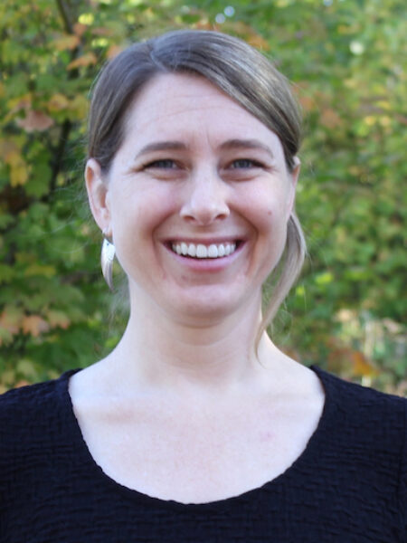
Rebecca Degagne, M.S., GISP
Senior Geospatial Scientist
Rebecca is a Senior Geospatial Scientist with 15+ years professional experience in the geospatial sciences and conservation planning. She leads a team performing advanced spatial analysis & modeling, remote sensing, and data visualization to further conservation of species, habitats, and biodiversity around the globe. Current projects focus on using geospatial technology to support agencies and organizations in data-driven approaches for environmentally-sustainable planning & decision-making.
Prior to joining CBI, Rebecca taught at the College of the Redwoods and Humboldt State University, where she worked on numerous projects spanning natural resources, socio-economic, and community mapping and analysis. Rebecca earned a B.S. in Ecology & Visual Arts from Juniata College (PA) in 2003 and worked as a field biologist for several years. She completed a M.S. in GIS & Remote Sensing at Humboldt State University (CA) in 2007, mapping tropical forests in South America using remote sensing techniques.
Rebecca is involved in numerous professional organizations, including the Conservation Remote Sensing Network, Women in Geospatial, and the Society for Conservation GIS, where she’s currently on the Board and Chair of the Communications Committee.

