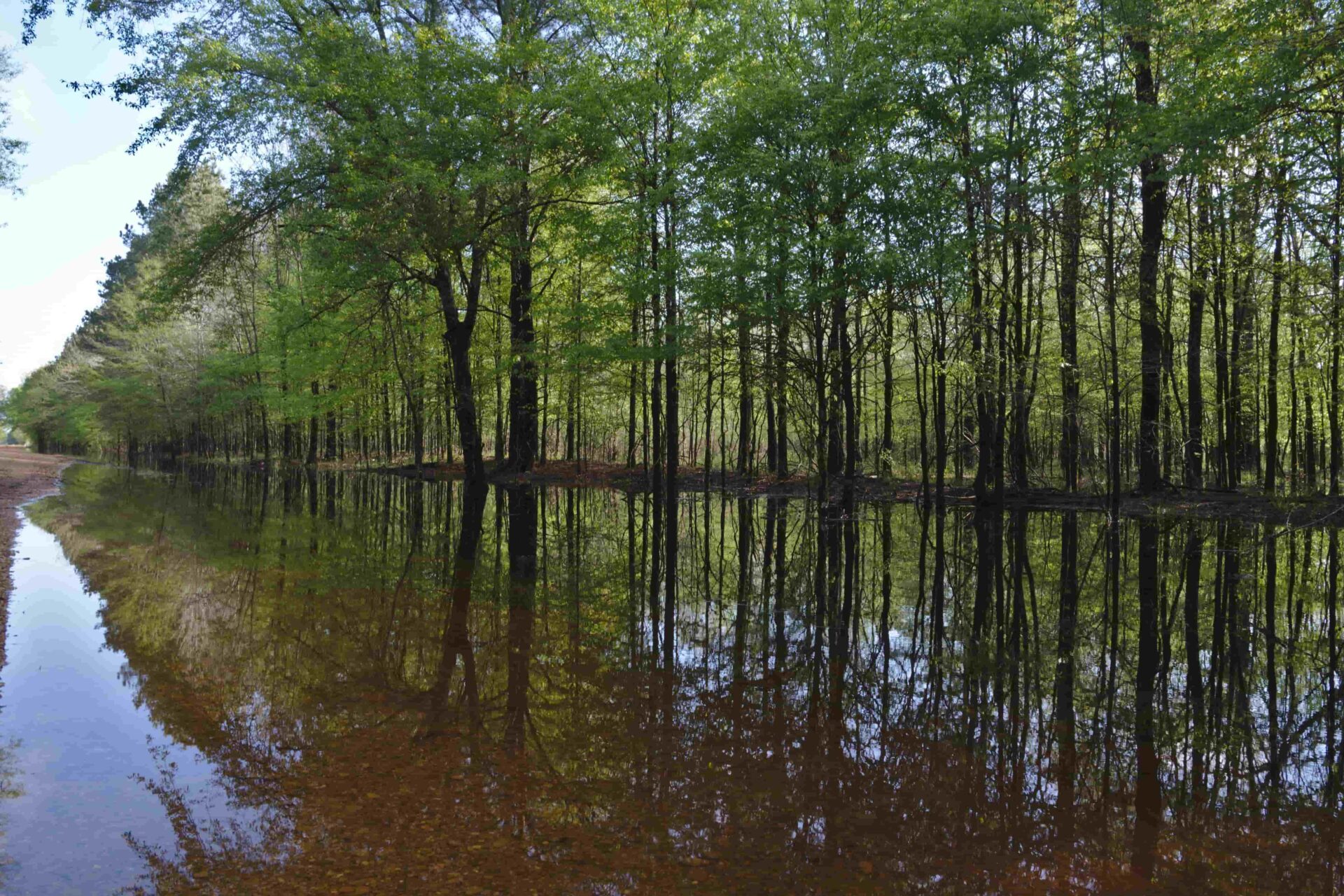
CBI is collaborating with the United States Department of Agriculture (USDA) and the Farm Service Agency to produce an online application depicting ecological and economic features across Conservation Reserve Program (CRP) lands in Mississippi.
CBI is collaborating with the United States Department of Agriculture (USDA) and the Farm Service Agency to produce an online application depicting ecological and economic features across Bottomland Hardwood Forest Conservation Reserve Program lands in the state of Mississippi. The Conservation Reserve Program (CRP) pays landowners to maintain these Bottomland Hardwood Forests providing important ecological benefits such as removing nitrogen and phosphorus from water, storing flood waters and reducing downstream flooding, trapping sediment, and promoting carbon sequestration. These benefits provided by the CRP are in addition to the restoration and enhancement of wetlands and wildlife habitat. The key ecological and economic features across these CRP lands will be estimated using remote sensing satellite imagery from the Sentinel satellite platform and machine learning modeling using a random forest approach. Additionally CBI staff will be conducting on the ground assessments of the ecological metrics during the 2019 field season.
By providing an online platform that provides metrics on these CRP lands, the USDA Farm Service Agency will be able to better monitor and evaluate existing acres of Bottomland Hardwood Forests that are part of the Conservation Reserve Program. This project is a pilot to determine the utility of the online platform and remote sensing methods, which if proven useful can be expanded to all regions where the CRP restores and enhances Bottomland Hardwood Forests.
The Random Forest modelling process was used to estimate various forest biometric measurements like biomass, density, height, etc., for CRP lands in Mississippi. These were also converted to economic values using standard procedures. We used Forest Inventory and Assessment (FIA) as training data and used field samples to augment the validation of the modelling process. Predicated outputs collected All these outputs were spatialized and incorporated into a customized tool for the USDA Conservation Reserve program.
The CRP tool allows USDA staff, land owners, and third-party organizations to view pertinent spatial information and guide decision making in relation to the status of CRP farms in Mississippi state. This tool allows one to summarize, filter and compare CRP farm tracts across counties and watersheds. You can also download reports in either of two appropriate formats (PDF or CSV). We have also included three different base layers, and relevant contextual data layers that you can view in relation to the CRP farm tracts. You will need permission from USDA to use the tool, but it is available at www.crptool.org. Anyone can view the design of the tool at https://www.sketch.com/s/feba6e2a-ff3e-4c3c-8d2d-9ea4f6bdc896.
CBI initially developed predictive maps of tree height, tree density, biomass, basal area, and forest type using Random Forest machine learning models. Numerous satellite-derived indices from the European Space Agency’s (ESA) Sentinel-1 and Sentinel-2 sensors, in addition to soils and topography data, were used as predictor inputs. We then refined these predictive models, focusing primarily on biomass improvements, by implementing new methods for processing Sentinel-1 imagery on the cloud computing platform Google Earth Engine (GEE); significantly updating model code; and incorporating preliminary data products derived from NASA’s spaceborne LiDAR mission – the Global Ecosystem Dynamics Investigation (GEDI). We refined the GEDI LiDAR-derived data products and included them in our models, and overall accuracy for the four forest regression models ranged from 57% to 91%. The Biomass model saw the greatest improvement in accuracy with the R2 increasing by 8%, from 49% to 57%. The Basal Area and Tree Height models both had minor 1-2% increases in accuracy, while the Tree Density model had no improvement. The Forest Type classification model had a negligible improvement in overall accuracy, however, the Elm/Ash/Cottonwood class increased in accuracy by ~6%, from 64% to 70%.
You can get more details in this publication. Degagne, R., Pizzino, D., Friedrich, H, Gough, M., Joseph, G., Iovanna, R., Smith, C. and Strittholt, J. 2022. Mississippi CRP Forest Remote Sensing with Preliminary Global Ecosystem and Dynamics (GEDI) Mission Derived Data Products. CBI Technical Report 2022-1. 40 pp. (10.6084/m9.figshare.19142147)


