featured Report
Management Strategic Plan Framework Rare Plant Management Plan
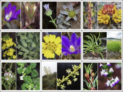
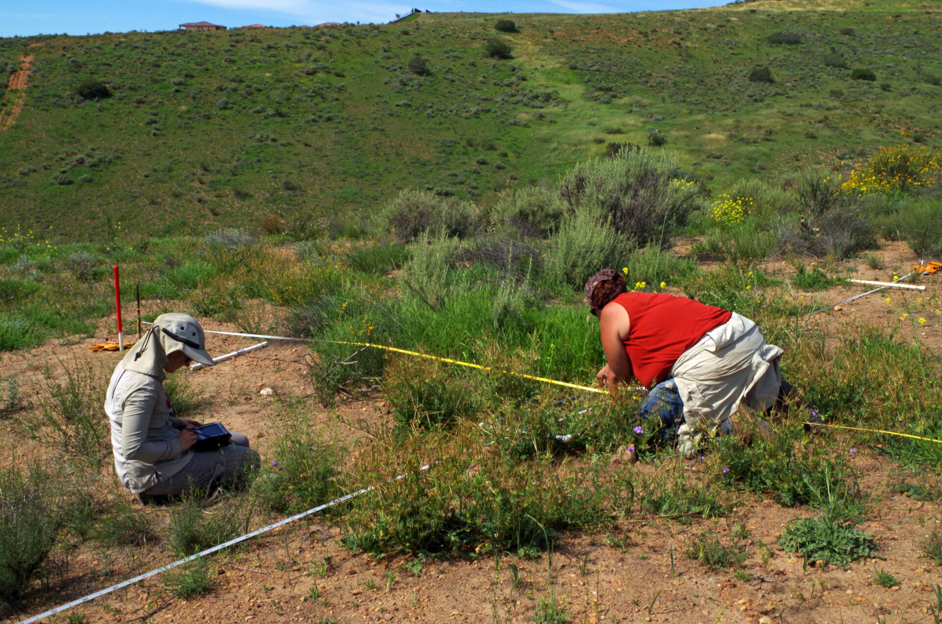
The Management Strategic Plan framework focuses on rare plants on conserved lands in western San Diego County, California.
overview
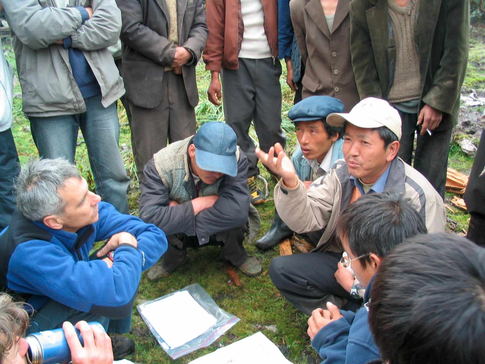
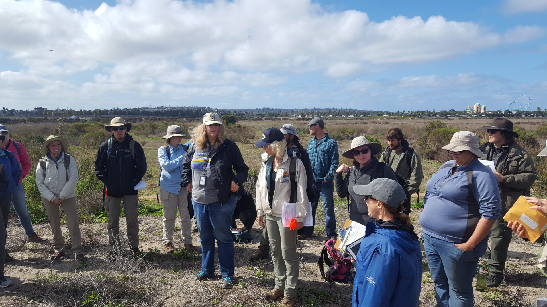
We provide expert consultations on issues that intersect between conservation and development. We provide client-based training programs in the use of our spatial tools and applications, and create video tutorials where needed. We provide project management and facilitation services in the interface between science and real-world problem solving. We publish use cases and white papers to make complex scientific analyses accessible to a wide variety of audiences.
Partners and clients that utilize CBI’s expertise in this area are varied. Numerous federal, state, and local government agencies have asked CBI to lead in providing these services. Other conservation non-profits as well as universities have been actively engaged with CBI to help provide educational experiences to their students; external peer review of various plans and initiatives; and participation in stakeholder processes. Law firms have also sought CBI services to review and provide guidance on a number of important legal actions.
what we offer
We set out to show that multiple and disparate parties could identify least-conflict areas for siting of solar projects in the San Joaquin Valley in a matter of months rather than years, for a reasonable cost, and that the maps could help streamline siting of projects. CBI’s approach works. It is now incumbent upon us to take advantage of it.
– Ken Alex, Senior Advisor to Governor Jerry Brown and Director of the Governor’s Office of Planning and Research
WHAT WE DO
Data Basin
Our flagship platform, Data Basin, enables thousands of people from multiple sectors to access, explore, analyze, and act on geospatial conservation data.
Learn More
Conservation Planning and Management
We advance practical and effective science-based strategies to protect and enhance native species, habitats, and ecosystems at all scales.
Learn More
Conservation Software Solutions
We develop innovative, visually compelling tools to help people use the best science and data to make conservation and resource decisions.
Learn More
Spatial Analysis and Mapping
We empower our clients by providing spatial analysis and mapping products to help them visualize and communicate complex conservation issues.
Learn More
Scientific Research and Modeling
We provide customized modeling products for conservation, restoration, climate change adaptation, and natural resource management – all grounded in the best available science.
Learn More
Consultation and Training
We effectively translate the latest scientific research into real world solutions.
You are here