CBI is a member of the Fort Bragg Headlands Consortium. We are working to increase public access to data which can empower decisions that benefit the Fort Bragg environment and community.
In this project, CBI is a member of and also providing support to the Fort Bragg Headlands Consortium, with a mission to to help achieve environmentally sound restoration and development solutions that will improve the quality of life and economy for current and future residents of our Coast.
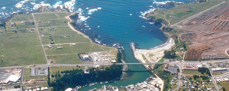
CBI’s major contribution to the Consortium is to develop and maintain the Fort Bragg Headlands web-mapping Gallery. Powered by Data Basin, this web-mapping Gallery is a feature-rich platform for local citizens, stakeholders and decision-makers to access publicly available spatial data (e.g. maps of streams, wetlands, hazards, soils, geology, etc.). This is timely, as Fort Bragg is currently making a significant Local Coastal Program (LCP) Amendment. Currently zoned Forest Light Industrial, these zoning changes will make the third of the city that was once a lumber mill into prime real estate zoned for profitable development. Fort Bragg is also figuring out how to deal with the remaining wetlands out there that still contain hazardous materials despite a first round of clean-up by the landowner. Providing easy access to data and maps will facilitate decisions that conserve the landscapes and biodiversity of the Fort Bragg region while bringing much needed development and jobs to sustain current and future generations. You can donate directly to this cause here.
Project Details
Location
Date
Services Provided

Conservation Planning & Management

Data Basin

Spatial Analysis & Mapping